
A good Redwood National Park map will save you more time than a perfect plan ever will. As a designated World Heritage Site, this region is spread across connected park units, and first-time visitors usually run into the same problem: too much driving, not enough stopping, and a trail plan that is more wishful than practical. When you are navigating the vast coast redwood forests, keeping the day simple makes the experience much easier. Pick one area, keep a backup stop in your pocket, and use the map to make decisions before you start the engine.
Quick takeaways:
- Download the official map before you leave town.
- Pick one main park cluster for the day.
- Prioritize seeing old-growth redwoods as your primary goal.
- Plan around drive time, not just mileage.
- Keep food, gas, and a backup route outside the park.
Why the map matters more than you think
Redwood National and State Parks is not a place you cover in one neat loop. It is a string of park units, scenic roads, trailheads, pullouts, and visitor centers, which means a bad map can turn a beautiful day into a lot of second-guessing.
The best place to start is the official National Park Service maps page. It offers a variety of NPS brochure maps and a printable park map that you can study before you arrive, which matters because the park scale is easy to underestimate when you are staring at a phone screen.
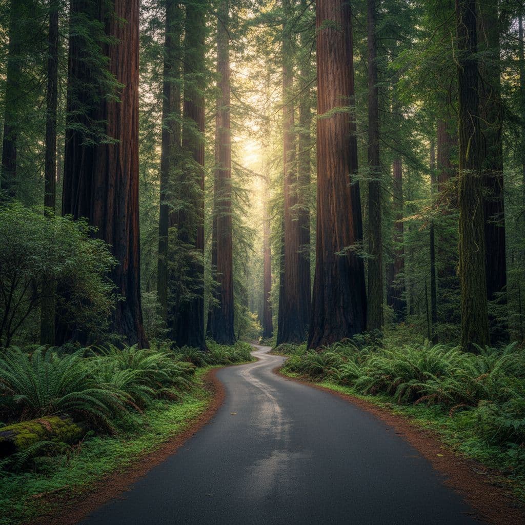
Cell service can be patchy once you are in the trees, so do not count on live directions. If you want a paper backup, picking up a physical guide at one of the visitor centers is a smart move to keep in the glove box, or you can use the Redwoods map and guide request page to have materials sent to you before your trip.
The simple truth is this: the map is not there to impress you. It is there to keep you from wasting daylight.
Think in clusters, not one giant loop
This is the biggest Redwood map tip for beginners, and if you ask me, it is the one that saves the most frustration. Choose one cluster for the day and build your itinerary around it.
That usually means focusing on a single zone like Prairie Creek Redwoods State Park, Jedediah Smith Redwoods State Park, or Del Norte Coast Redwoods State Park instead of bouncing all over the park system. If you try to stitch together too many stops, the day starts to feel thin fast. You will spend more time in the car than under the trees. By focusing on these specific zones, you can better organize your scenic drives and prioritize the best hiking trails in the region.
Redwood rewards the slow plan. One strong area beats three rushed ones every time.
If you want a route that follows that idea, my one-day Redwood National Park itinerary keeps the driving sane and the stops tight.
Prairie Creek Redwoods State Park is a good example of why this works. Located in Humboldt County, it is a perfect anchor for your first day. The Prairie Creek Redwoods State Park page is handy for directions and access details, and it is close enough to anchor a simple first day without turning the map into a scavenger hunt.
A first-time day usually works best like this:
- Pick one main redwood zone.
- Add one short walk or scenic pullout.
- Save one extra stop only if time and parking line up.
That keeps the day flexible without turning it loose.
The map details that actually save time
A pretty map is nice. A useful map shows you where the day can go sideways.
When you are looking at a Redwood National Park map, zoom in on the practical stuff first, not just the scenic names. Visitor centers matter because they are where you can get current info. Parking lots matter because they fill up fast. Trailheads matter because some of the best walks are short and easy to miss on a quick scan.
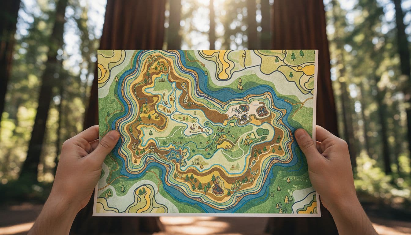
A few map details deserve your attention right away:
- Visitor centers: These are vital for restrooms, current road updates, and a reality check before you commit to a longer stop. You will likely use Highway 101 as your primary corridor for navigating between these locations.
- Parking areas: If a famous grove has limited parking, check the National Park Service website for updates, or arrive early to secure your spot.
- Campground maps: Review these carefully to understand site availability and the proximity of your sleeping area to major trailheads.
- Trailheads and pullouts: These are the spots that make a drive feel like a visit instead of a pass-through.
- Drive time labels: Miles can lie to you in the redwoods. Curves, narrow roads, and slow traffic change the math significantly.
Keep an eye on one-way sections too. They can be easy to miss on a busy planning night, and they matter more than you think when you are trying to link stops cleanly.
A first-day route that works for most beginners
If you only have one day, keep the route simple and let your map do the heavy lifting. A solid plan for first-time visitors includes one primary redwood cluster, one short walk, and one coastal stop if your timing allows.
Start with a main anchor like the Newton B. Drury Scenic Parkway. This road offers a spectacular forest experience without requiring significant extra driving, and it is also one of the best places to spot Roosevelt elk grazing near the road. After soaking in the redwoods, add a short grove walk or a quick pullout, then check the clock before deciding whether to tack on a longer detour.
This is where beginners often run into trouble with map planning. Many visitors see a famous destination and assume it is easily accessible, only to lose an hour navigating access roads or waiting for parking. For instance, Tall Trees Grove is a bucket-list destination for many, but it requires careful map-based logistics, including securing a permit and driving a lengthy gravel road. If your map shows a stop that looks tempting but logistically complicated, it is often better to leave it for a future trip.
Fern Canyon is another classic example of this balancing act. While it is located near the beautiful Gold Bluffs Beach, it can be a difficult add-on depending on current access conditions and seasonal permit requirements. It is not the kind of stop I would build a whole first day around. For a smoother visit, keep one easy backup location in your pocket and move on if your primary choice is too crowded.
A clean first-day itinerary usually consists of one concentrated redwood cluster, one easy walk, and one optional bonus stop. That is plenty for a first visit, and it keeps your map planning useful instead of overwhelming.
What to mark before you leave home
This is the part that saves you from scrambling in the parking lot.
Before you head out, mark these items on your map or phone:
- Your main park cluster for the day
- One backup stop nearby
- Visitor centers
- Gas and food outside the park
- Your offline map file
- The trail or grove you care about most
If you are traveling into the park from the north, plan to stock up on supplies in Crescent City before heading south. Food and gas are limited once you are inside the park boundaries, and nobody wants to spend their afternoon hunting for a sandwich. If you are staying at the Jedediah Smith Campground or planning to explore areas reserved for backcountry camping, ensure those specific trailheads and access points are clearly pinned.
As you navigate the park, keep an eye out for the Klamath River as a reliable landmark to help orient yourself on the map. It also helps to save your digital map for offline use and bring a paper version if you can. The roads are easy enough to navigate once you become familiar with them, but easy is not the same as obvious. A little prep before you leave home goes a long way toward ensuring a stress-free trip.
Common map mistakes that waste daylight
Most first-time map mistakes in Redwood National Park come from the same three habits.
The first is trying to see too much. Redwood is not a checklist park. If you plan too many stops, the day gets fragmented and the best parts start to blur together.
The second is trusting mileage instead of drive time. A six-mile stretch in the redwoods can take much longer than you expect, especially if you add photo stops or hit traffic near popular trailheads. For example, driving along Bald Hills Road or navigating the winding paths near Redwood Creek often takes more time than the map suggests due to narrow, winding roads. These sensitive environments, which are carefully managed thanks to the ongoing efforts of the Save the Redwoods League, require a slower pace that visitors should account for when planning their daily itinerary.
The third is ignoring access updates. Roads, parking areas, and seasonal conditions change frequently. That is why your map should work in tandem with current park info, not replace it.
If you keep one backup stop and one backup route, you are already ahead of most first-time visitors.
Conclusion
The best strategy for using your Redwood National Park map is also the simplest one. Choose one area, save your map for offline use, and leave room for a backup stop. That one habit keeps the day calm and gives you more time where it counts, under the trees.
Redwood National and State Parks reward visitors who plan as if they are protecting their time. Once you stop treating the park like a single, giant loop, the map starts doing exactly what it should. It helps you spend less time guessing and more time walking among the ancient, towering old-growth redwoods.
FAQ
Do I need a paper map for Redwood National Park?
You do not strictly need one, but it is highly recommended. Cell service frequently drops out deep in the forest, so carrying a paper map or downloading offline maps before you arrive is a smart backup strategy.
What area should first-time visitors map first?
Focus on one specific cluster rather than trying to cover the whole park in a single day. Prairie Creek is a popular choice because it offers massive trees, scenic drives, and accessible trails. When choosing a base of operations, look for well-situated spots like Elk Prairie Campground to minimize your morning commute.
Can I rely on Google Maps alone?
You should not rely on it for a smooth experience. Use it for general navigation between towns, but pair it with the official park map and current road or trail updates before you head out. If you are staying at Mill Creek Campground, check your route daily, as local forest road closures can shift without notice.
What should I do if my top stop is crowded?
Use your backup stop. A trip to the redwoods is much more enjoyable when you stay flexible, and choosing a shorter, less crowded grove walk is almost always smarter than waiting for parking to open up at a high-traffic destination.

could you e-mail me a map of the Red woods?