
For your first Superior Hiking Trail itinerary, I recommend three hiking days and two nights, with roughly 18 to 24 miles overall. Keep both overnights at designated SHT campsites, and choose a North Shore section along Lake Superior, outside Duluth.
For a first trip, that gives you time to enjoy the forest, handle muddy footing, and settle into camp without racing sunset. Having said that, campsite spacing determines your actual daily mileage, so treat those distances as a planning budget rather than a fixed route.
Start with the overnight plan, then fit the walking around it.
Key Takeaways
- Aim for roughly 6 to 8 miles daily, with extra time for wet roots, repeated climbs, and breaks.
- SHT campsites are shared, first come, first served, and limited to designated locations.
- Arrange transportation before committing to a point-to-point route, and carry all your food for the three days.
Choose a North Shore Section With Room to Adjust
Keep your first backpacking trip outside Duluth
This beginner-friendly plan is a short point-to-point section hike, not a thru hike of the full trail.
The Superior Hiking Trail includes different mileage totals depending on whether you’re counting the main trail, access spurs, or the entire system.
The SHTA describes the North Shore system as 282.3 miles, including 248 miles of main trail and 34.3 miles of spurs. Other official descriptions cover more than 300 miles across the broader system. Martin Road is the northern Duluth access point.
For a two-night backpacking trip, the important distinction is camping access. There are no SHT campsites inside Duluth city limits. A route through the city needs lodging or another legal overnight arrangement, rather than an improvised trailside camp.
Let the terrain set your pace
Six to eight miles sounds conservative until you add a loaded pack, slippery roots, and another climb after lunch.
I recommend leaving enough daylight to collect water, pitch your tent, eat, and deal with something small going wrong. A blister shouldn’t turn your entire afternoon into a deadline.
Include trailhead approaches and campsite spurs in your mileage. Those miles still count, even when a route description lists them separately.
A Three-Day Superior Hiking Trail Itinerary
Build this trip around two designated overnight stops, with the middle day carrying the fullest stretch of walking. Keep the finish manageable, especially if you have a long drive afterward.
These are flexible distance targets, not a verified route between the listed access points. Use the current official SHT map to confirm a continuous North Shore route, named access points, overnight sites, daily distances, and elevation context.
| Day | Walking plan | Target distance | Overnight plan |
|---|---|---|---|
| 1 | Starting trailhead to the first designated camp | 5 to 7 miles | Shared SHT campsite |
| 2 | First camp to the second designated camp | 7 to 9 miles | Shared SHT campsite |
| 3 | Second camp to the finishing trailhead | 6 to 8 miles | Return to your vehicle |
The total is roughly 18 to 24 miles. Actual spacing between designated overnight sites may require a shorter route, which is a perfectly good trade for your first outing.
Use the official map to assess Split Rock as one mileage-adjustment option. Bean and Bear Lake is a separate section option, not an adjoining stop in this itinerary. If designated sites don’t fit these ranges, shorten the route or add a day only when another legal overnight site makes the longer plan workable.
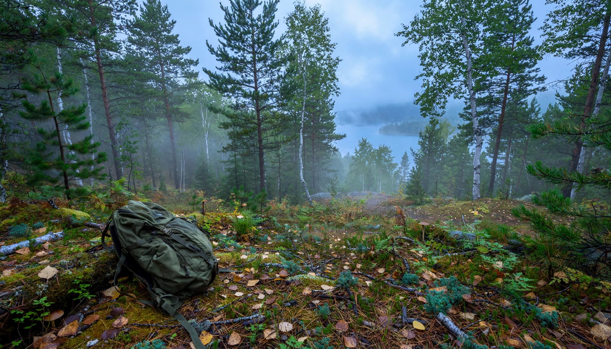
On day one, allow time for transportation and getting your pack sorted. A shorter opening day gives you breathing room if the shuttle takes longer than expected or your hiking pace feels slower under load.
Day two is your best opportunity for a longer walk. Start early, take regular breaks, and arrive with energy left for camp chores. Don’t add mileage simply because breakfast went well.
On day three, leave camp with enough water for the walk out and a little extra food for delays. Keep your vehicle keys secure and accessible throughout the trip.
A campsite plan needs another designated camping option. An empty patch of forest isn’t a legal backup.
Campsite Rules and Food Storage
Expect shared, primitive camps
The SHTA maintains 94 campsites. They generally accommodate two to five tents, with tent spaces, a fire ring, and a backcountry latrine. These are walk-in sites, and hikers must share the facilities.
Under the SHTA camping rules, camping is limited to designated sites. Stealth camping, camping at trailheads, and sleeping in parking lots aren’t permitted substitutes.
Don’t expect a private spot just because you arrived first. Keep your footprint compact and leave room for later arrivals.
State park campgrounds operate separately from SHT backcountry sites. State park bookings have their own reservation and payment requirements.
Bring a complete food-storage system
This is black bear country. Food, trash, and scented toiletries need secure storage every night.
SHTA guidance supports a bear canister or diligent bear-bagging rather than a canister-only requirement. For beginners, I recommend a canister because a bear hang requires a suitable tree and a practiced setup.
If you choose a bear hang, practice before the trip and carry the entire system. Don’t assume the site will provide equipment for a bear hang.
Cook away from your sleeping area, keep food out of your tent, and pack out every wrapper.
Solve the Shuttle Before Packing the Car
A point-to-point trip works well when transportation is settled first. With one vehicle, I prefer leaving it at the finishing trailhead and taking the shuttle to the start. That way, your car is waiting when you finish.
Superior Shuttle’s listed reservation season runs May 1 through October 31. Scheduled service requires a reservation; same-day transportation depends on availability. Build your first day’s mileage around the actual drop-off arrangement.
Two vehicles also work. Leave one at the finish, drive together to the start, then retrieve the starting vehicle after the hike.
Keep food and valuables out of sight, and save the driving directions offline along with your hiking maps.
For this three-day trip, carry all your meals and snacks. Grand Marais offers resupply-box support. Hikers relying on a pickup there on a longer route should verify the location and timing in advance. Tofte and Silver Bay also serve longer-distance hikers. Those stops matter more on extended trips than on a short section hike.
An unnecessary town detour can consume a surprising amount of your weekend.
Maps and Navigation That Work Without Service
Carry detailed maps, not just a route line
The trail’s main route, access spurs, campsites, and road crossings all matter to your overnight plan. A route line on a phone screen may not show trail junctions or campsite spurs.
The SHTA maps and planning resources include detailed topographic mapping in print. The Trail Atlas contains 41 maps.
Carry a paper backup, a compass you know how to use, and enough phone power for the entire trip. Download digital maps before leaving reliable service.
Understand the Avenza change
An April 29, 2026 SHTA notice announced that Avenza would stop supporting map updates and new Map Store content. Previously downloaded maps would remain available, while official print maps would continue.
Don’t build a new navigation plan around an assumed digital purchase.
For help developing those skills, my hiking and backpacking book recommendations include resources on wilderness navigation and trip planning. Practice with your map before you’re tired, wet, and looking for the campsite spur.
September, Wet Footing, and Water Planning
For a beginner trip, I recommend September for cooler hiking temperatures and the chance of fall color. Pack warm layers anyway. A pleasant afternoon doesn’t promise a comfortable night.
Spring can mean mud and swollen streams. Summer brings longer daylight, heat, humidity, and insects. Winter adds snow, ice, and a much bigger equipment commitment.
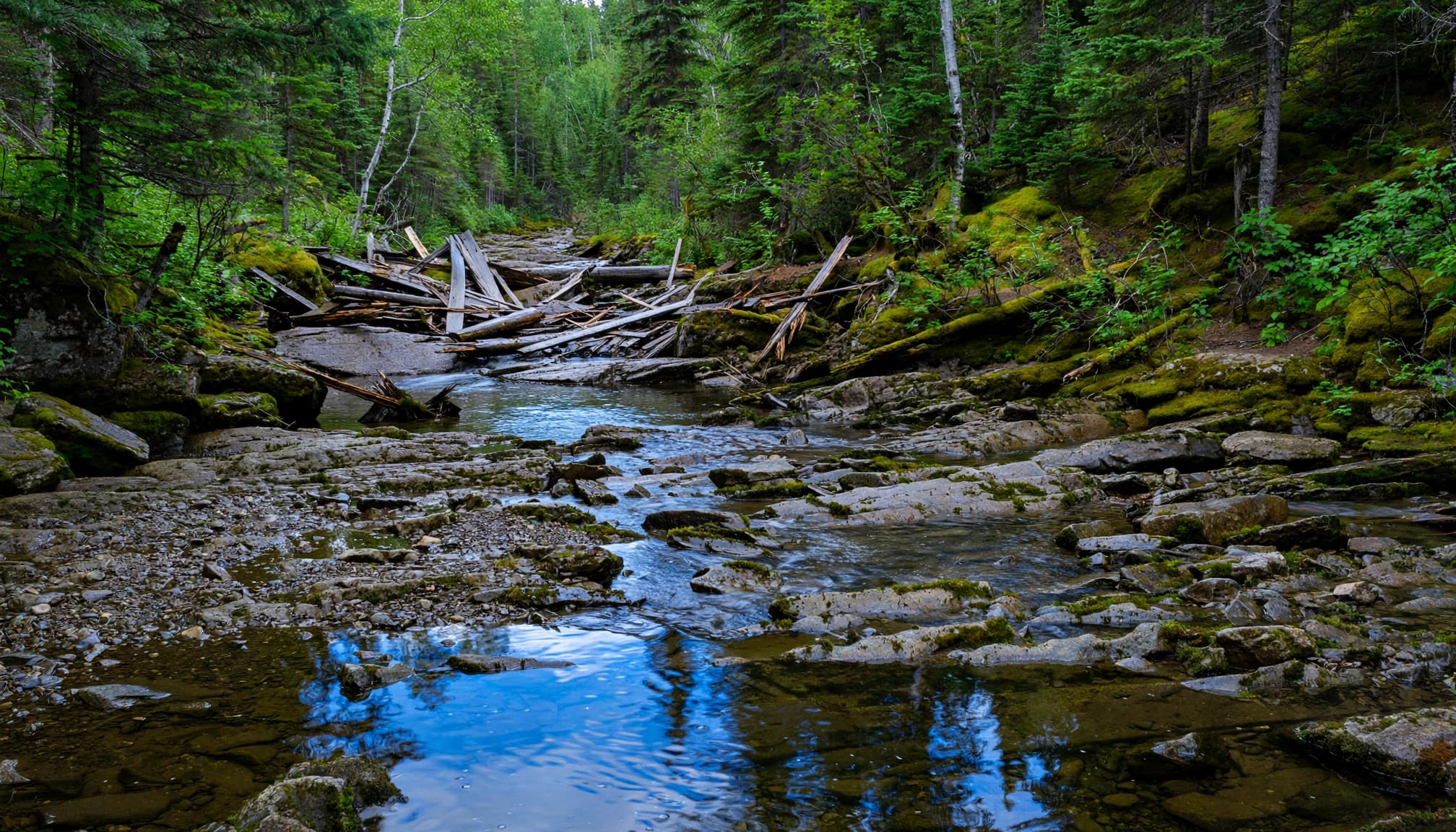
Check trail conditions and current alerts before each hike. Bridge damage deserves its own margin in your schedule. An SHTA conditions report updated October 28, 2026, listed problems including a Gooseberry River washout and the Carlson Creek Bridge being out.
Those are dated alerts, not a description of every future trip. A missing bridge can require a substantial reroute. Don’t enter fast or rising water to preserve your planned mileage.
For forest-road approaches, Superior National Forest road maps supplement your trail navigation. They don’t replace detailed SHT maps.
Treat natural water before drinking, and carry enough to reach the next reliable source plus delays. Arrive at camp with the water you need if a nearby source isn’t dependable.
Pack a map and compass, rain shell, warm layer, headlamp, first-aid supplies, a filter you’ve practiced with, and food-storage gear. Wear footwear with reliable traction.
Superior Hiking Trail Planning FAQs
Do I need reservations for SHT campsites?
Designated SHT backcountry camps are free, first come, first served, and don’t require reservations or permits. State-park campsites have separate booking and payment rules. A state-park reservation doesn’t reserve an SHTA campsite.
Can I camp wherever I stop hiking?
No. Camping is restricted to designated sites, including when you’re tired or behind schedule. Mark another legal campsite and a road-access exit in your plan before leaving home. Share that plan with someone who isn’t hiking with you.
How much food should I carry?
Carry everything for the trip rather than depending on a town stop. Include food for your approach and departure days, plus an extra margin for delays. Store all meals, snacks, trash, and scented items securely overnight.
Leave Enough Time to Enjoy Camp
A good three-day Superior Hiking Trail itinerary gives you room to slow down. Two legal overnight stops, manageable mileage, and settled transportation matter more than squeezing in another scenic stretch.
Keep the first day forgiving and make the final hike comfortable. You’ll have more energy for the forest, the views, and the simple pleasure of waking up on the trail.
The recommendation to keep both overnights at designated SHT campsites makes a lot of sense for a first trip, especially with muddy footing and early sunsets to consider. I also like framing the 18–24 miles as a planning budget rather than a rigid schedule, since campsite spacing can easily reshape each day.