The Presidential Traverse is a demanding, point to point hike across New Hampshire’s Presidential Range, usually covering 19 to 23 miles. Start at Appalachia Trailhead, finish near the AMC Highland Center, and expect rocky footing, substantial climbing, and hours above treeline.
For newer hikers, I recommend building experience on shorter White Mountain hikes before attempting the full crossing. The scenery is breathtaking, but your route, transportation, and bailout options need to work together before you leave the parking lot.
Key Takeaways
- The minimal traverse is about 19 miles, ending after Eisenhower; the full version continues through Jackson for about 23 miles.
- Arrange a vehicle drop or shuttle between your endpoints, including transportation from alternate exits.
- AMC huts provide seasonal services, but reservations don’t protect you from dangerous weather.
- Choose your descent options before reaching the ridge, then change plans early if conditions deteriorate.
Choose Your Presidential Traverse Route
Mileage varies with summit spurs, approach trails, and southern exits. AMC’s Presidential Traverse itinerary gives a range of 19 to 23 miles and roughly 9,000 feet of elevation gain.
These are the two commonly described versions:
| Version | Approximate distance | Southern route |
|---|---|---|
| Minimal traverse | 19 miles | Ends after Mount Eisenhower, with a descent such as Edmands Path |
| Full traverse | 23 miles | Continues over Pierce and Jackson, descending Webster-Jackson Trail |
The important detail is the endpoint. Edmands Path finishes on Mount Clinton Road, not directly at the Highland Center. Road walking or different pickup arrangements can change your total.
A popular middle option includes Mount Pierce, then descends Crawford Path to Route 302. For most recreational hikers, that’s a practical finish without adding Jackson.
The peak sequence is Mount Madison, Mount Adams, Mount Jefferson, optional Clay, Mount Washington, Monroe, Eisenhower, Pierce, and optional Jackson. Choose your version beforehand rather than letting a downloaded track make that decision for you. Gulfside Trail connects the northern ridge, and its junctions help you assess possible exits before committing to a descent.
Sort Out Parking and the Shuttle First
The standard north-to-south start is Appalachia Trailhead on Route 2 in Randolph. The usual southern finish is the AMC Highland Center area on Route 302 in Crawford Notch.
For the full Jackson version, Webster-Jackson Trail reaches Route 302 near the Highland Center. For a Pierce finish, Crawford Path brings you down to the same general area.
I recommend leaving your finish vehicle first, then driving to Appalachia. That removes the pressure of catching transportation after a long, unpredictable day.
With one car, arrange a paid car shuttle or seasonal AMC transportation before hiking. A scheduled morning departure might be too late for an ambitious single-day crossing, so don’t build your itinerary around an assumed shuttle time.
Winter closures on Mount Clinton Road affect access to Crawford Path and Edmands Path parking. The road isn’t maintained for winter travel, and seasonal gates can change where a vehicle can reach.
Follow the Ridge North to South
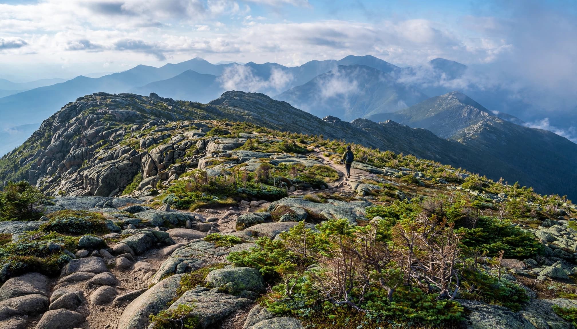
These mileage bands are approximate planning landmarks, not junction-by-junction directions. Summit choices change them.
Miles 0 to 5: Appalachia, Madison Spring Hut, and Mount Madison
Valley Way is the straightforward approach to Madison Spring Hut, climbing roughly four miles through forest. From the hut, Mount Madison is an approximately 0.8-mile round trip.
Return to the hut area before continuing toward Adams. This is your first major decision point: if the weather already feels wrong, descend Valley Way.
Miles 5 to 11: Adams, Jefferson, Clay, and Washington
Connect the summit routes around Adams and Jefferson with Gulfside Trail, adding Clay if it’s part of your plan. The northern summits have rough, ankle-demanding rock that slows even strong hikers.
The Madison-to-Pierce ridgeline includes the Eastern US’s most prolonged stretch of above-treeline running terrain. Expect sustained exposure rather than frequent sheltered breaks.
Miles 11 to 23: Monroe, Eisenhower, Pierce, and Jackson
Descend Washington toward Lakes of the Clouds Hut on Crawford Path, then take the Mount Monroe summit loop.
Continue south toward Mount Eisenhower. Exit via Edmands Path for an Eisenhower-ending itinerary, or continue to Pierce. From Pierce, Crawford Path provides the direct southern descent.
For the full traverse, follow Webster Cliff Trail past Mizpah Spring Hut toward Jackson, then descend Webster-Jackson Trail. Those final miles still require attention when your legs are tired.
Decide Between One Day and Hut Nights
A single day suits experienced, fast mountain hikers
A one-day Presidential Traverse commonly takes 12 to 18 hours, sometimes longer. That’s sustained movement over rocky terrain, with limited room for navigation mistakes or weather delays.
I wouldn’t recommend making this your first major mountain day. Fitness helps, but dependable pacing, rocky descents, and decisions under fatigue matter just as much.
Build experience with shorter hikes in New Hampshire before committing to the entire ridgeline.
Three or four days give you more breathing room
A practical four-day itinerary uses Madison Spring Hut, Lakes of the Clouds Hut, and Mizpah Spring Hut on successive nights, then exits over Jackson.
A three-day version can use Madison and Lakes, followed by a longer southern finish. A two-day itinerary usually puts a very demanding first day between Appalachia and Lakes.
Keep in mind, the Madison-to-Lakes section remains strenuous even with a bunk waiting. Dividing the trip doesn’t remove exposure or difficult footing.
Plan Hut Stops, Water, and Camping
Hut services are seasonal
Madison Spring Hut, Lakes of the Clouds Hut, and Mizpah Spring Hut offer potable water, food, and overnight lodging during their staffed service seasons.
Reserve overnight stays in advance. Included meals depend on the service arrangement, and day hikers shouldn’t assume a full meal will be available whenever they arrive.
AMC’s Lakes of the Clouds Hut information describes its seasonal operation. Don’t treat these huts as year-round resupply points.
Carry water between reliable refills
For this plan, count on natural water only along Valley Way and the southern Crawford Path, rather than expecting convenient ridge streams. Treat natural water.
Carry enough for the next reliable refill plus delays, and leave each operating hut with sufficient water.
For a snow-free traverse, camping is prohibited above treeline. Below treeline, additional restrictions apply around huts, trails, and water. A tent doesn’t give you permission to stop wherever fatigue catches up.
Build a Bailout Plan Before Leaving Treeline
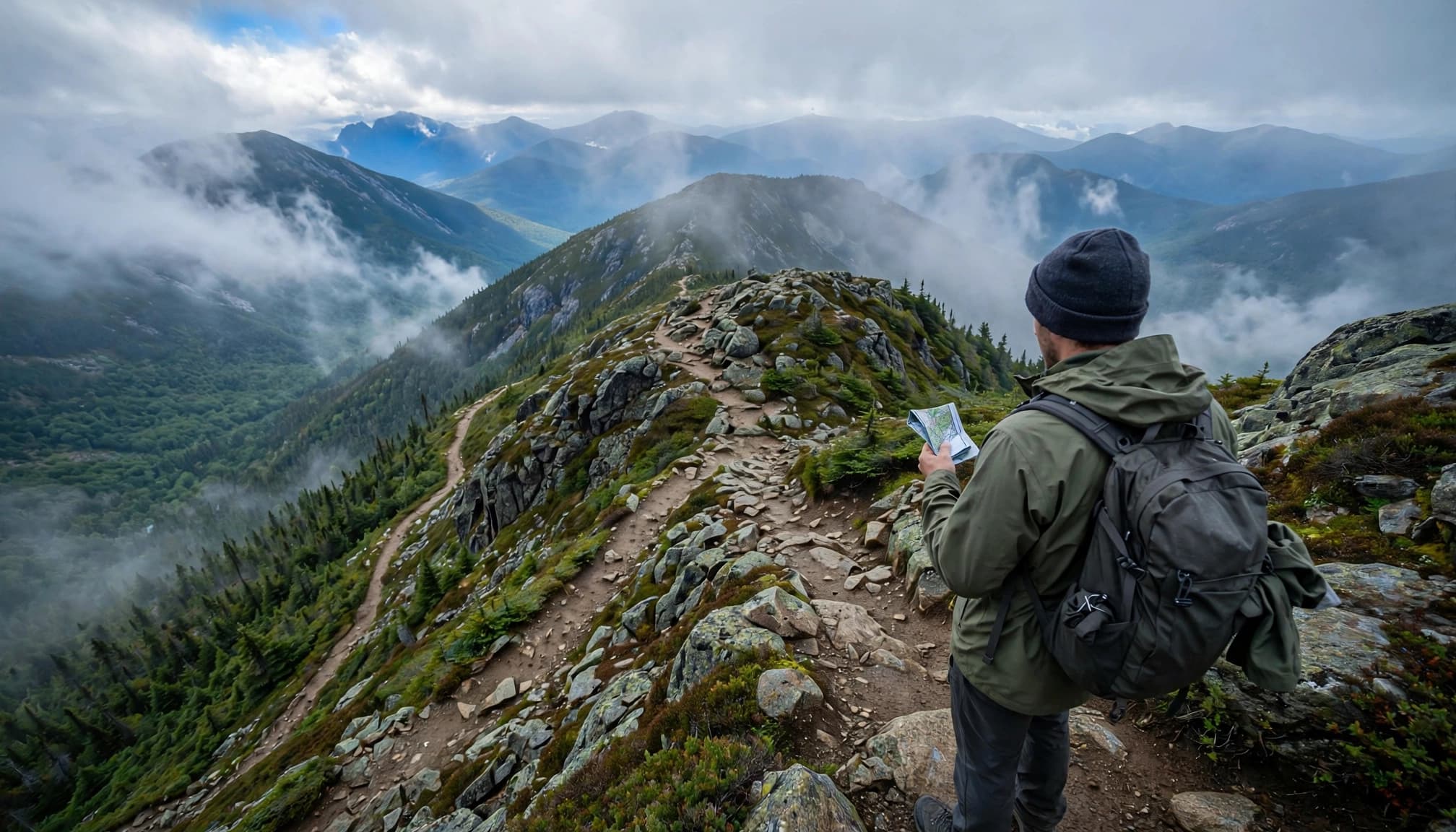
A bailout should be a mapped descent with a transportation plan, not a hopeful line toward the valley.
These established trails provide useful planning options:
| Ridge location | Possible descent | Where it leads |
|---|---|---|
| Madison Spring Hut | Valley Way | Appalachia Trailhead |
| Adams area | Lowe’s Path | Route 2, away from Appalachia |
| Gulfside Trail near Clay/Washington | Jewell Trail | Base Station Road area |
| Lakes of the Clouds | Ammonoosuc Ravine Trail | Base Station Road area |
| Eisenhower | Edmands Path | Mount Clinton Road |
| Pierce | Crawford Path | Route 302 near Highland Center |
None is automatically easy or safe in every condition. Jewell requires reaching its junction; Ammonoosuc has steep, slippery sections; Edmands leaves you at a different pickup point.
Avoid treating Great Gulf or unfamiliar ravines as shortcuts. Getting below the ridge can still involve difficult terrain and many hours of hiking.
A bailout that reaches the wrong road still needs a pickup plan. Save those trailhead locations before leaving cell service.
Set turnaround times around your group’s pace, daylight, and forecast. Reassess at Madison Spring Hut, northern ridge junctions, Washington, and Lakes.
Tell someone your intended route, alternate exits, and overdue time. Keep the group together rather than sending a slower hiker down alone.
Pack for the Ridge, Not the Parking Lot
Read the Mount Washington Observatory’s Higher Summits Forecast, not just the forecast for Randolph or Crawford Notch. A comfortable morning beside the car says little about conditions thousands of feet higher.
The Presidentials have killed underprepared, over-exposed hikers and runners even in summer. Wind, wet clothing, and falling temperatures can become a dangerous combination quickly. The Observatory’s hiker safety guidance puts that exposure in perspective.
Pack a waterproof shell, insulating layer, hat, gloves, headlamp, first-aid supplies, emergency shelter, food, and adequate water. Wear footwear you’ve already used successfully on rocky trails.
Download offline maps and carry a detailed paper map and compass. Trail markings are generally blazes below treeline and cairns above it; fog can hide the next cairn.
If wind affects your balance, visibility deteriorates, or thunderstorms threaten, use an established descent while you still can. Don’t wait for rain to make the decision obvious.
Presidential Traverse FAQs
Do I need to summit Mount Jackson?
Many hikers leave it out. Mount Jackson honors New Hampshire state geologist Charles Thomas Jackson, not President Andrew Jackson.
Including it creates the longer, full-traverse finish. Excluding it doesn’t diminish a carefully planned crossing.
Does Mount Clay count, and why is it sometimes called Reagan?
New Hampshire’s legislature renamed Clay Mount Reagan in 2003. The US Board on Geographic Names declined the change in 2010, so Clay remains the federal name.
Most recreational hikers don’t require its summit. Official FKT (Fastest Known Time) route comparisons have begun requiring Clay, so timed attempts follow a stricter route definition.
Is summer the only sensible season for beginners?
For a first attempt, I recommend settled summer conditions during staffed hut season. Winter adds ice, snow, shorter daylight, and reduced services.
October can already bring winter conditions high on the ridge. A fall date doesn’t guarantee a snow-free hike.
Choose a Route You Can Change
The best Presidential Traverse plan leaves room to shorten the day before you’re exhausted or the weather closes in. Pick your finish, arrange transportation, and mark the descents that fit each section.
I’d rather plan a shorter crossing with good options than chase every summit with no margin left. The ridge deserves your attention all the way to the trailhead.