Foothills Trail backpacking takes most hikers six to eight days, with primitive campsites, frequent water sources, and no dependable on-trail food resupply. I recommend seven or eight days for your first thru hike, especially if you want time for waterfalls instead of racing past them.
The logistics are manageable, but steep climbs, humidity, and a loaded pack deserve respect. Start with a realistic daily pace, then build your camping and transportation plans around it.
Key Takeaways
- Carry food for your entire hike, plus a small emergency margin.
- Bring water treatment and two to three liters of carrying capacity, even when streams are flowing.
- Arrange transportation before starting and plan to communicate without cell service.
- Choose established campsites with alternatives nearby, rather than committing to one exact tent spot.
Know the Route Before Choosing a Direction
The Foothills Trail connects Oconee State Park and Table Rock State Park in Upstate South Carolina, with portions entering North Carolina. It’s commonly described as 76 miles, although the Foothills Trail Conservancy lists 77 miles.
Use one map’s mileage system throughout your trip. Mixing distances from different guides makes daily planning unnecessarily confusing.
Regional maps show Lake Jocassee near the route and the Chattooga River along its early miles. Verify the trail’s exact alignment, and don’t assume Lake Jocassee provides road access or resupply.
How difficult is the trail?
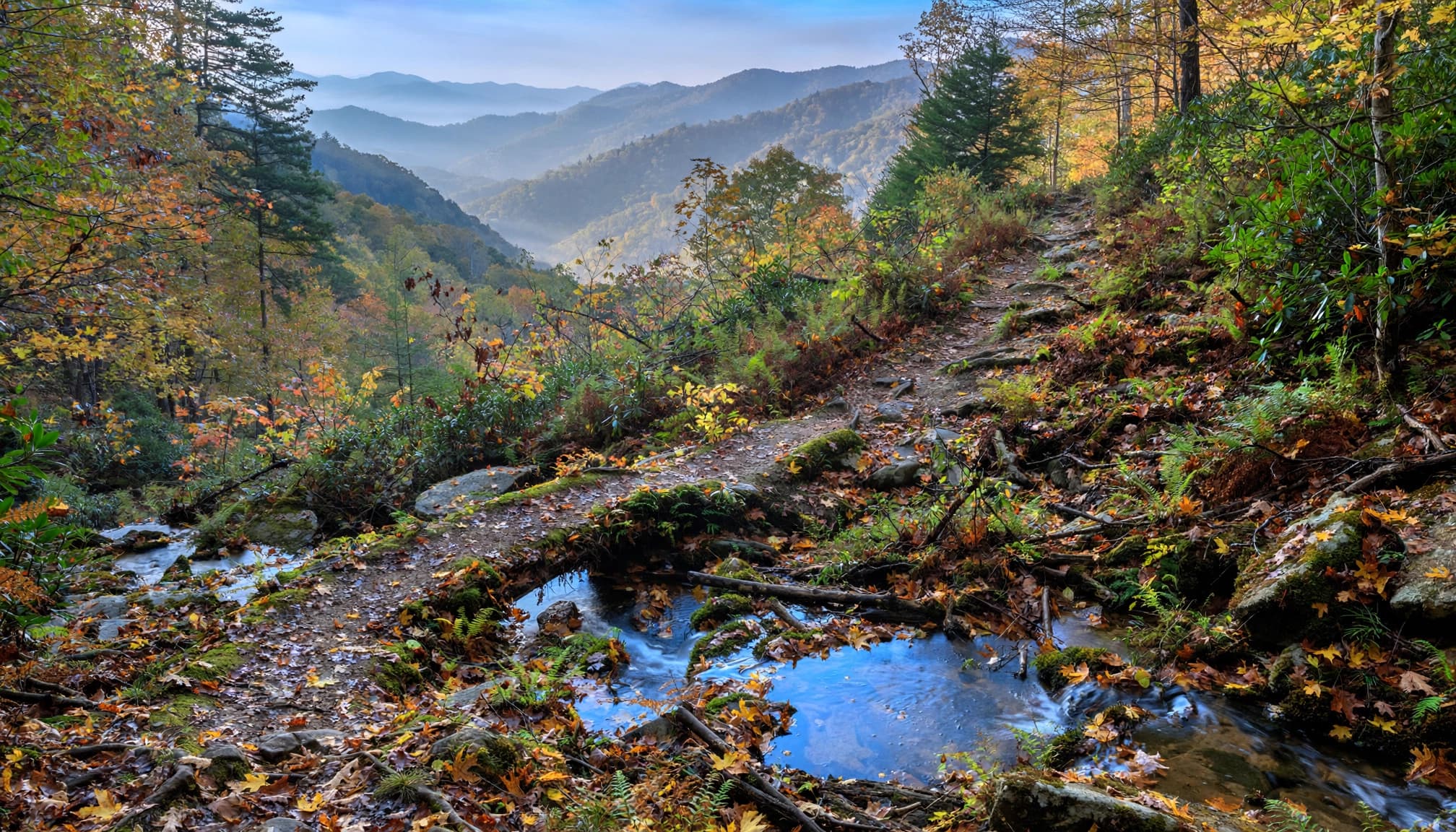
I’d rate the full route moderate to strenuous for backpackers. The Forest Service’s trail description includes extremely steep ravines alongside gentler sections.
Expect repeated climbs, stairs, roots, and slippery footing after rain. Mileage alone understates the effort.
Sassafras Mountain, South Carolina’s highest point at 3,553 feet, adds a memorable highlight. Its road-accessible observation tower offers 360-degree views.
Eastbound or westbound?
Eastbound starts at Oconee and finishes at Table Rock State Park, the eastern terminus. Early miles follow the Chattooga River, which forms the Georgia-South Carolina state line.
Westbound puts the Chattooga scenery toward the end. The actual western terminus is Oconee State Park, not the river.
Neither direction removes the climbing. Choose whichever direction makes transportation easiest and puts your preferred terminus at the finish.
A Seven-Day Foothills Trail Backpacking Plan
Seven days averages about 11 miles daily. Six days requires roughly 13 miles daily; eight days brings that closer to 10.
For beginners, I prefer the longer schedule. A first overnight is better kept around six to nine miles daily, followed by a longer trip once your camp routines feel comfortable. My Dolly Sods backpacking guide covers that shorter-trip approach.
Use this framework for the Conservancy’s 77-mile route.
| Day | Target mileage | Cumulative mileage |
|---|---|---|
| 1 | 10 miles | 10 miles |
| 2 | 11 miles | 21 miles |
| 3 | 11 miles | 32 miles |
| 4 | 11 miles | 43 miles |
| 5 | 11 miles | 54 miles |
| 6 | 11 miles | 65 miles |
| 7 | 12 miles | 77 miles |
These are pacing targets, not campsite locations. Move each overnight to an established campsite on your map, then redistribute the remaining mileage.
A useful landmark is the Whitewater Falls viewing deck: commonly published distances place it 29.1 miles from Oconee and 47.1 miles from Table Rock. Those figures use a different mileage baseline than the 77-mile total.
Allow extra time for waterfall spurs, filtering water, and wet-weather travel. Arriving at camp with daylight left makes the whole trip easier.
Choose Camps for Water, Tent Space, and Flexibility
Established camping areas to plan around
Burrells Ford, Bearcamp Creek, and Laurel Fork Creek are useful camping areas to locate during planning. They aren’t evenly spaced, so they shouldn’t automatically become consecutive overnight stops.
The Conservancy’s camping and trail FAQs identify its guidebook, trail map, and FarOut guide as campsite resources.
Pick a primary camping area and a reasonable alternative. Look for durable, level tent space, safe water access, and distance from dead overhead branches. A campsite symbol doesn’t promise toilets, food-storage equipment, or room for a large group.
Registration, parking, and camping boundaries
Register at a trail kiosk before hiking. Registration is separate from parking charges.
Budget $5 per day for parking at Oconee State Park or $6 per day at Table Rock. Overnight vehicles at Table Rock need a displayed parking permit.
Within Table Rock State Park, Foothills Trail hikers may camp only after the blazes change from yellow-and-white to white only. The park’s official trail information explains that boundary.
Don’t create a new campsite because your mileage target arrives first. Keep enough daylight to reach an appropriate established site.
Water Is Frequent, but Carrying Capacity Still Matters
How much water should you carry?
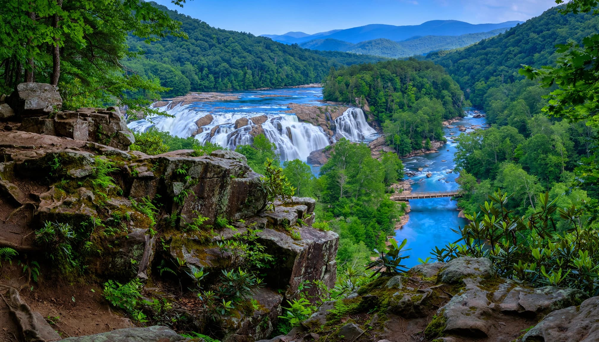
The trail has plentiful streams and rivers. The Conservancy describes water as ample except during the driest conditions, with blue-reflector posts marking dependable sources.
The July 2020 account The Foothills Trail, Summer Hike described carrying no more than half a liter between sources. That’s one hiker’s experience, not a sensible default for every trip.
I recommend two to three liters of capacity, filled according to the next usable source, temperature, and your drinking needs. Carry extra when approaching a dry campsite or a longer climb.
Treat every natural source
Filter or otherwise treat all drinking water. Bring a backup treatment method, and protect a wet hollow-fiber filter from freezing.
A river visible below the trail isn’t necessarily an easy refill. If you encounter Lake Jocassee, don’t assume shoreline access is safe or convenient. Plan around mapped, accessible water sources.
Swimming holes can make enjoyable stops, but don’t count on them as dependable drinking-water sources. Collect water where access is safe, and leave enough for dinner and breakfast if camping away from a source.
Hilliard Falls is about 0.2 mile off trail and makes a worthwhile lunch detour. Lower Whitewater Falls is another nearby highlight around the large bridge area. Enjoy the scenery without scrambling onto wet rocks or approaching waterfall edges.
Frequent water reduces your carrying load. It doesn’t remove the need to plan the next refill.
Carry Your Food and Arrange the Shuttle First
Resupply requires a separate arrangement
There are no dependable on-trail shops or walk-in resupply stops. Plan to carry food for the whole trip unless you’ve arranged a road-crossing delivery or transportation off trail.
Road access at places such as Sassafras Mountain doesn’t mean groceries are available.
Pack meals by day, include snacks you enjoy, and add an emergency food margin. Your pack will be heaviest at the start, which is another reason to avoid an ambitious opening day.
Black bears live in this region. Carry an appropriate bear-resistant food-storage system rather than assuming every campsite has cables or lockers.
Transportation must work without reception
With two vehicles, leave one at your finishing trailhead and drive to the start. With one vehicle, a prearranged shuttle to the starting point lets you finish at your own car.
For planning purposes, treat cell service as nonexistent. Reception may appear in isolated places, but it isn’t dependable enough for a pickup arrangement or emergency plan.
Bring a Garmin inReach or similar satellite communicator, activate its service, and learn its functions before leaving.
Leave someone your route, camping areas, expected finish, and overdue-response plan. Identify road-access exit points too, with a pickup plan for each.
Spring and Fall Offer the Better Weather Trade-Off
I recommend April or October for most beginners. Spring usually brings stronger water flow, while fall offers cooler hiking and colorful hardwood forests.
Keep in mind that both seasons can bring cold rain. Winter adds shorter days, freezing nights, and possible ice at higher elevations.
Summer is the harder sell. Afternoon thunderstorms are typical, and heat and humidity can make modest mileage feel exhausting. If heat bothers you, avoid May through September if possible.
Start early, take shaded breaks during the worst heat and humidity, and slow your afternoon pace. Leave exposed viewpoints when thunderstorms develop. Keep a rain jacket accessible when the weather changes, and pack a waterproof liner.
Swimming holes can offer a place to cool off, but stay clear of waterfall edges and avoid unsafe water.
Prevent heat rash and chafing with breathable clothing and dry sleep layers. The July account also reported frequent wood ticks rather than deer ticks, but that observation doesn’t establish which species you’ll encounter.
Use repellent according to its label and inspect your skin every evening. Remove attached ticks promptly.
Comfortable footwear, blister care, a headlamp, and trekking poles round out a practical setup. Wet leaves and tired legs are a poor combination.
Foothills Trail Backpacking FAQs
Is this a good first backpacking trip?
A shorter section with an experienced partner can work well. I wouldn’t make the entire route your first night outdoors.
Complete a shakedown overnight first. You’ll learn more about pack fit, sleep comfort, and meal preparation than a gear list can tell you.
Is it useful training for the Appalachian Trail?
Yes. Repeated climbs, humid weather, food carries, and consecutive camping nights make it useful Appalachian Trail preparation.
It won’t reproduce every AT condition, but it gives you a practical test of daily routines and recovery.
Where can you get a map for offline planning?
The Conservancy’s maps and elevation profiles include a full-trail map plus eastern and western elevation profiles.
Save your navigation resources offline and carry a paper backup. FarOut adds GPS-based positioning, but your phone still needs battery power.
Give Yourself Time to Enjoy the Trail
A successful Foothills Trail trip starts with realistic daily mileage, enough food, and a water plan that leaves room for delays. Seven or eight days gives newer backpackers more breathing room than a fast thru-hike.
Sort out transportation before starting and keep your overnight stops flexible. The waterfalls are much easier to enjoy when reaching camp doesn’t require a race against sunset.