Two days is enough to see the famous corners of Rocky Mountain National Park if you split the time cleanly. The standard recommendation is one day on Trail Ridge Road (the high country) and one day in the Bear Lake Road corridor (the classic alpine-lake hikes). Done in that order, you acclimate to elevation on the drive day and save the hike day for when your lungs have caught up.
The most important step for any 2026 visit is securing a timed-entry reservation before you build the rest of the trip. The park sells out on summer weekends.
Before you go
- Entrance fee: $30/vehicle for 1 day, $35/vehicle for 7 days. The park is cashless
- Timed-entry reservation: required May 22 through October 12 (general park, 9 am to 2 pm window) and through October 18 for the Bear Lake Road corridor (5 am to 6 pm window). Reserve on recreation.gov
- Trail Ridge Road typically opens Memorial Day weekend and closes in late October, depending on snow. It peaks at 12,183 feet, the highest continuously paved road in the US
- Estes Park is the standard east-side base; Grand Lake is the west-side base
- Elevation matters. The park sits between 7,500 and 14,259 feet. Drink more water than usual and don’t stack a hard hike on day one if you flew in
The reservation logic
Two separate timed-entry permits exist in 2026:
| Permit | Window | Avoid window by entering |
|---|---|---|
| Timed Entry + Bear Lake Road | 5 am to 6 pm, May 22 to Oct 18 | Before 5 am or after 6 pm |
| Timed Entry (general park) | 9 am to 2 pm, May 22 to Oct 12 | Before 9 am or after 2 pm |
The Bear Lake permit covers both areas; the general-park permit doesn’t include Bear Lake Road. Reservations release in monthly batches on recreation.gov, typically the first of the prior month at 8 am MT, plus a smaller next-day batch at 7 pm MT the night before. Set a calendar reminder if you’re visiting in peak season.
Day one: Trail Ridge Road and the high country
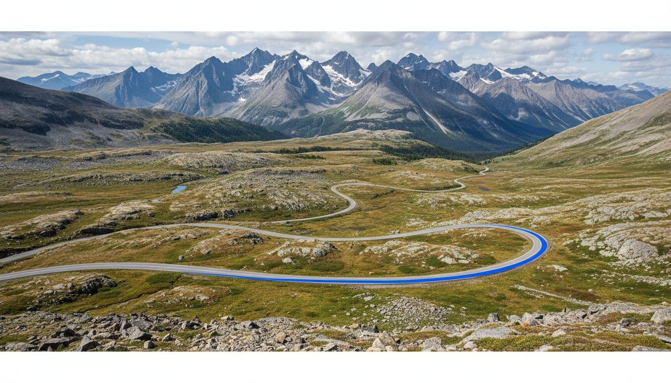
Day one is mostly a drive day with short walks. Leave Estes Park early, ideally on the road by 7 am, and head west on US 34 (the Trail Ridge Road approach). The full Trail Ridge Road runs 48 miles between Estes Park and Grand Lake, climbing 11 of those miles above tree line and crossing the Continental Divide at Milner Pass (10,758 ft).
Stops to make in driving order:
- Many Parks Curve — short pull-off with sweeping views of the lower park
- Rainbow Curve — broader panorama as you climb past tree line
- Forest Canyon Overlook — wide view down into Forest Canyon and across to Hayden Spire
- Rock Cut — Tundra Communities Trail, a short paved walk through alpine tundra (~0.5 mi RT)
- Alpine Visitor Center at 11,796 ft, the highest visitor center in the National Park Service. Short walk up Alpine Ridge Trail behind the center for more elevation and views
- Old Fall River Road (optional descent) — one-way downhill on a gravel road back to Horseshoe Park; typically open July to October, slow but scenic
Plan around afternoon storms. In summer, thunderstorms regularly build by 1 or 2 pm above tree line, and getting caught at 12,000 feet during a lightning storm is a serious safety issue. Keep rain layers handy and turn around if the sky looks dark to the west.
Optional add: Alluvial Fan and Horseshoe Park
The Alluvial Fan is in the Horseshoe Park area off Fall River Road (separate from Trail Ridge Road proper). It’s a short walk to a boulder field created by a 1982 dam-failure flood, and it’s an easy add on the way back to Estes Park. Horseshoe Park and Sheep Lakes nearby are reliable spots for bighorn sheep sightings, especially morning and evening.
Day two: Bear Lake Road and the alpine lakes
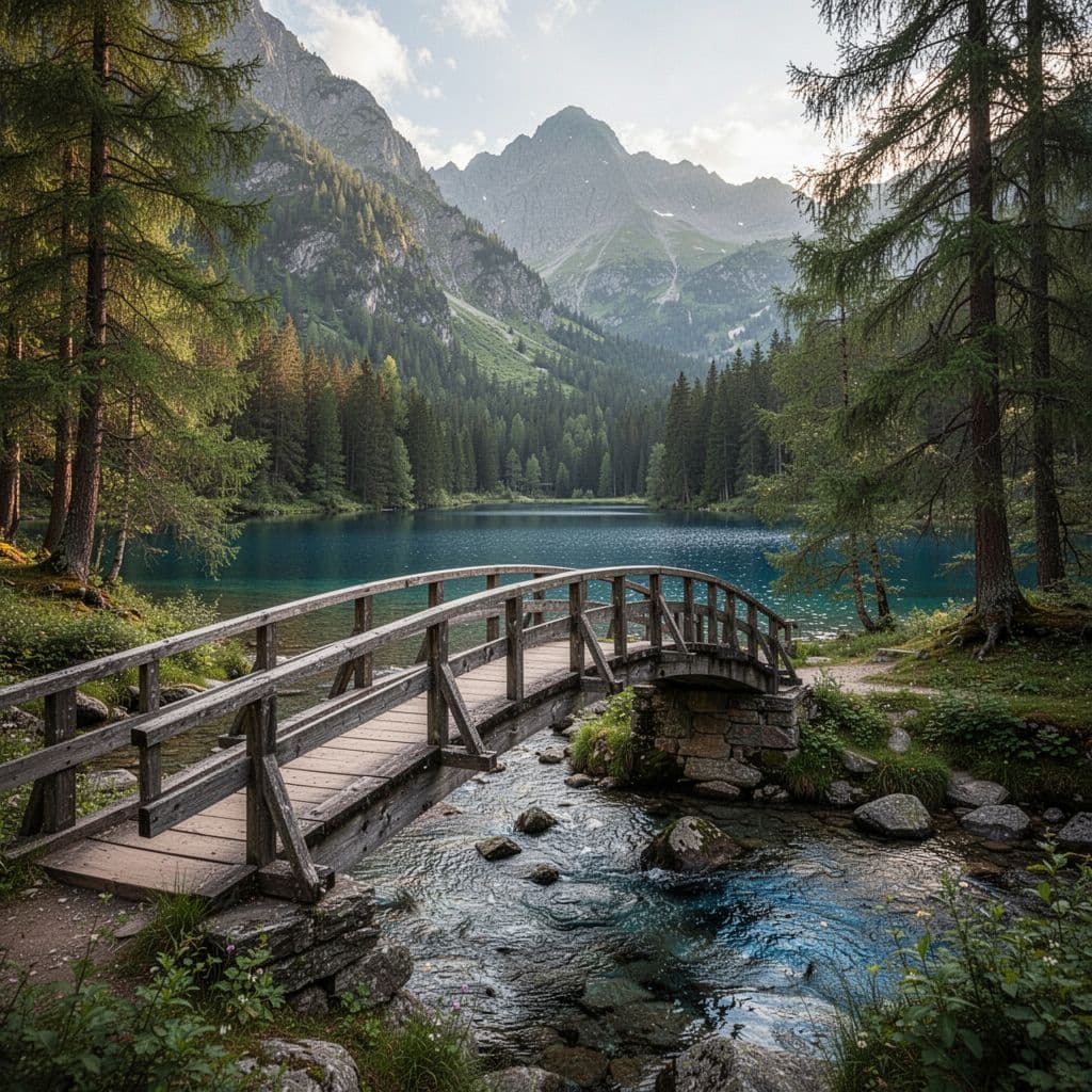
Bear Lake Road is the photogenic part of the park most first-timers picture: alpine lakes, granite peaks, and a string of trails that build from very easy to genuinely strenuous.
Shuttle vs drive
Bear Lake Road parking fills early. The park runs free shuttles to spread the load. The shuttle network has three relevant routes:
- Hiker Shuttle — runs from the Estes Park Visitor Center to the Park & Ride Transit Hub inside the park (separate reservation required)
- Bear Lake Shuttle — runs from the Park & Ride Transit Hub up to Bear Lake (no reservation needed, walk on)
- Moraine Park Shuttle — runs from the Park & Ride to Moraine Park area trailheads
The shuttles originate at the Park & Ride Transit Hub, not at Moraine Park. If you’re driving in, park at the Park & Ride and walk onto the shuttle. If you’re staying in Estes Park without a car, reserve the Hiker Shuttle in advance.
The hikes from Bear Lake
| Hike | Distance | Elevation gain | Difficulty |
|---|---|---|---|
| Bear Lake Loop | ~0.8 mi loop | Minimal | Easy, accessible in parts |
| Nymph Lake | 1 mi RT | ~225 ft | Easy |
| Dream Lake | 2.2 mi RT | ~425 ft | Easy-moderate |
| Emerald Lake | 3.6 mi RT | ~770 ft | Moderate |
| Alberta Falls (from Glacier Gorge TH) | 1.6 mi RT | ~160 ft | Easy |
| Sky Pond (from Glacier Gorge TH) | ~9 mi RT | ~1,700 ft | Strenuous |
Three good day-two picks based on energy level:
- Easy — Bear Lake Loop plus Nymph Lake (about 2 mi total). Good for kids, recovery days, or short visits
- Classic — Bear Lake to Emerald Lake (passing Nymph and Dream Lakes), 3.6 mi RT
- Big day — Glacier Gorge to Sky Pond via Alberta Falls and the Loch, 9 mi RT, all day
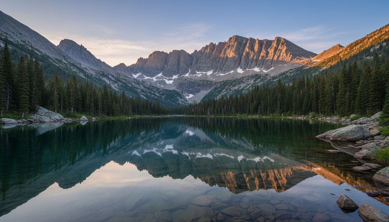
Sprague Lake is a quieter alternative if Bear Lake is crowded; it’s a short flat loop with one of the best mountain reflections in the park, and the parking lot is below the timed-entry corridor pressure.
Where to base yourself
- Estes Park (east side) — the standard base, with lodging, restaurants, and the closest access to Bear Lake Road and the Beaver Meadows entrance. Quintessential mountain-town vibe
- Grand Lake (west side) — quieter, less crowded, sits at the west end of Trail Ridge Road. A good base if you’re entering from I-70/Granby or want a calmer evening
If you’re building a longer Western mountains trip, this same structure (one drive day, one hike day) shows up in the Yosemite two-day itinerary as well.
Adding a third day
If you have a third day, the natural add is Wild Basin, a quieter southeast corner with a different feel and no timed-entry window. The hike to Ouzel Falls (5.4 mi RT, ~950 ft gain) is the standard recommendation. Horseshoe Park or Sheep Lakes (back near Fall River entrance) are also reliable for bighorn sheep viewing morning and evening.
Frequently asked questions
Do I need a timed-entry reservation for Rocky Mountain National Park in 2026?
Yes, during peak season. Two permit types: a general-park permit (9 am to 2 pm window, May 22 to October 12) and a Bear Lake Road permit (5 am to 6 pm window, May 22 to October 18). The Bear Lake permit covers the whole park; the general permit doesn’t include Bear Lake Road. Reserve on recreation.gov. The standard $30/$35 entrance fee still applies on top of the reservation.
Is two days enough for a first visit?
Yes, for the famous corners. Trail Ridge Road on day one and Bear Lake Road on day two covers most of the iconic experiences. A third day adds Wild Basin or wildlife viewing in Horseshoe Park.
Where does the park shuttle start?
The Bear Lake and Moraine Park shuttles start at the Park & Ride Transit Hub inside the park. From Estes Park, the Hiker Shuttle runs from the Estes Park Visitor Center to the Park & Ride (advance reservation required). All shuttles are free once you’re on them.
What’s the best single hike for a first visit?
Bear Lake to Emerald Lake (3.6 mi RT). It hits three named alpine lakes in one go and gives most people their first real Rocky Mountain alpine experience without being too long.
Are there quieter alternatives if Bear Lake is too crowded?
Yes. Wild Basin (southeast corner) and Sprague Lake (just off Bear Lake Road) are both quieter. Horseshoe Park and the Fall River area are quieter still. Grand Lake on the west side has its own set of less-visited trails.