For your first Adirondack High Peaks hike, I recommend the traditional Route 73 summit before committing to a longer day on Algonquin or Mount Marcy. Choose your route and trailhead together, then leave enough time and energy for the rocky descent.
These mountains offer breathtaking views, but short mileage doesn’t necessarily mean easy hiking. Steep slabs, crowded parking lots, and fast-changing weather can all complicate your day.
Start with a route that fits your group, then build the logistics around it.
Key Takeaways
- The traditional Route 73 summit is a manageable first High Peak for fit beginners, though its rocky climb still demands preparation.
- Access through Adirondack Mountain Reserve lands requires a reservation from May through October.
- Compare round-trip mileage and total elevation gain, and choose a lower-elevation backup before leaving cell service.
Compare Adirondack High Peaks Hikes Before Choosing
The 46 High Peaks were originally believed to exceed 4,000 feet. Later measurements put several below that threshold, including 3,820-foot Couchsachraga, but the traditional list remains unchanged. Climb all 46 and submit your completion record to the Adirondack Forty-Sixers to qualify for the 46er patch.
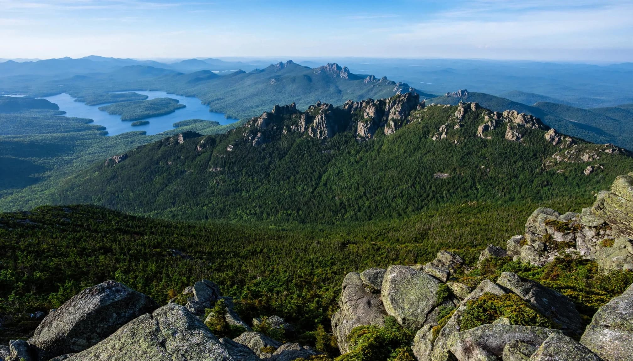
These approximate distances and gains describe specific out-and-back routes, not every approach to each summit.
| Route | Round trip | Elevation gain | Starting area |
|---|---|---|---|
| Traditional Route 73 approach | 4.8 miles | 1,900 feet | Route 73 |
| Cascade and Porter | 6.2 miles | 2,200 feet | Route 73 |
| Wright Peak | 7.6 miles | 2,400 feet | Adirondak Loj |
| Algonquin Peak | 8.6 miles | 3,000 feet | Adirondak Loj |
| Mount Marcy via Van Hoevenberg Trail | 14.8 miles | 3,200 feet | Adirondak Loj |
For beginners, the traditional Route 73 option offers the shortest commitment here. Every route requires descending on foot.
Cascade and Porter: Keep the Second Summit Optional
Its open summit delivers a generous payoff, but the upper trail includes steep rock and a short scramble. Add Porter only if your group still has comfortable energy and daylight reserves at the junction.
A nearby summit adds climbing, descending, and time. It isn’t a free addition.
Wright, Algonquin, and Marcy: Bigger Mountain Days
Wright is a shorter outing than neighboring Algonquin, the MacIntyre Range’s 5,114-foot summit and New York’s second-highest peak. Combining them makes a substantially harder day.
Mount Marcy is New York’s highest point at 5,344 feet. I’d save its long approach and substantial climbing for hikers who’ve already handled full days on rough terrain.
Match Your Hike to the Right Trailhead
Reservations aren’t required everywhere in the High Peaks. The important distinction is whether your route crosses Adirondack Mountain Reserve property or starts elsewhere.
AMR Access: Reserve Before You Arrive
From May 1 through October 31, access through Ausable Club and Adirondack Mountain Reserve lands requires a free reservation. That applies to trail access as well as parking, so arriving on foot doesn’t bypass the requirement.
The AMR access rules prohibit dogs, drones, and off-trail travel. Stay on designated roads and marked trails, and don’t treat private lakeshores as public recreation areas.
AMR access serves routes toward Indian Head and peaks including Colvin and Nippletop. A reservation there doesn’t provide parking for Marcy, Wright, or Algonquin.
Adirondak Loj and Route 73: Have a Parking Backup
Adirondack Loj at Heart Lake provides access to Wright, Algonquin, and the Van Hoevenberg route to Marcy. Parking is paid and limited. An early arrival improves your chances, but it doesn’t guarantee a space.
The traditional approach uses Route 73 parking near Keene. Use designated spaces, never a highway shoulder as overflow.
I recommend choosing a backup hike that starts at a different parking area. If your first lot is full, move on rather than squeezing into an unsafe spot.
Choose a Shorter Summit Near Lake Placid
You don’t need a 4,000-foot mountain to enjoy an excellent Adirondack view. These easy hikes in Adirondack Park are a good fit for families, uncertain forecasts, or a first day on rocky trails.
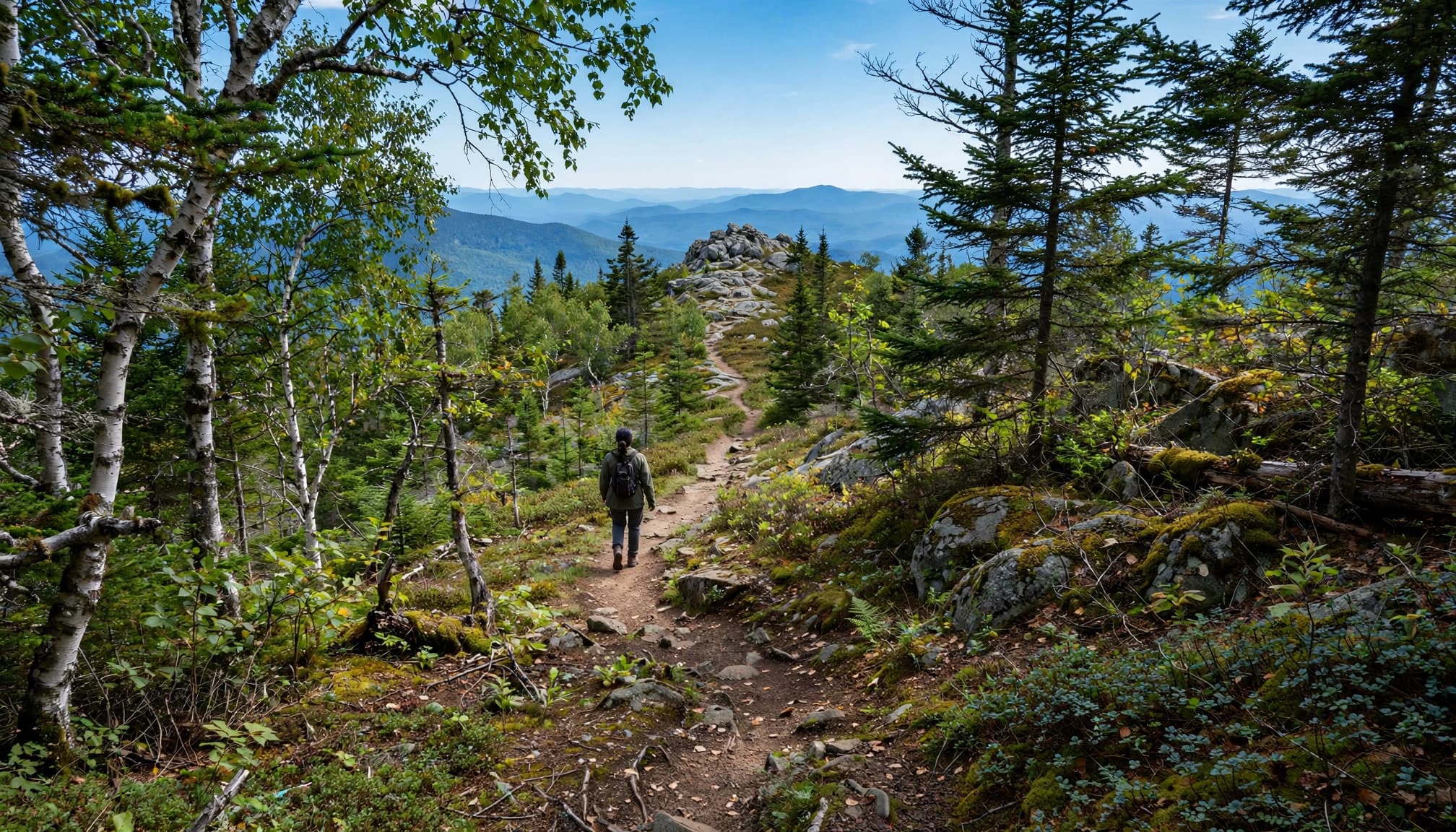
Mount Jo: My First Pick for a Shorter Mountain Day
Mount Jo rises above Heart Lake, with roughly 700 feet of climbing. Its Short Trail is about 1.1 miles one way, while the Long Trail is about 1.3 miles one way. Allow roughly 2.2 to 2.6 miles for an out-and-back.
The longer approach offers a gentler option, though you’ll still encounter roots and rocks. Mount Jo isn’t a High Peak, and that smaller commitment is part of its appeal.
Baxter, Big Crow, and Owl’s Head: Watch the Mileage
Baxter Mountain’s roughly 1.5-mile approach means about 3 miles round trip. Big Crow is around 0.7 miles each way, with nearly 600 feet of gain.
Owl’s Head is about 0.5 miles each way and gains 476 feet. It’s on private land, with weekend closures from Friday at 4 p.m. through Monday at 7 a.m.
Keep in mind that Haystack near Lake Placid isn’t the 46er Mount Haystack. Its Jackrabbit Trail approach includes an unofficial, unmarked herd path, so it isn’t my first recommendation for beginners.
For alternatives beyond this area, my New York hiking guide compares mountain and waterfall outings.
Plan Around Mud, Snow, and Summit Weather
Summer and early fall offer practical windows for snow-free hiking, but conditions at a trailhead don’t tell the whole story. Higher elevations can be colder, windier, and much wetter.
Mud Season: Give High-Elevation Trails a Break
Adirondack mud season generally runs from late March through mid-June, depending on snowmelt and rainfall. During that period, choose routes below 2,500 feet rather than pushing onto fragile, saturated high-elevation trails.
Walking around muddy sections widens the trail and damages vegetation. Where hiking is appropriate, stay on the established tread and walk through mud rather than creating a parallel path.
A lower-elevation forest walk is a better backup than another steep summit with the same conditions.
Snow and Ice: Bring the Right Equipment
In the High Peaks Wilderness, snowshoes or skis are required when snow depth reaches 8 inches or more. Microspikes don’t replace flotation in deep snow.
Ice can also require traction before snow reaches that depth. For beginners without winter travel experience, a lower, snow-free route is the better choice.
During warmer months, build your schedule around afternoon thunderstorms. If thunder develops near an exposed summit, descend promptly rather than waiting for a better view.
Build Your Schedule Around the Descent
Don’t estimate Adirondack High Peaks hikes using your walking pace on smooth trails. Wet slabs, large rock steps, and tired legs can slow the return on a rocky trail.
For a first Cascade outing, reserve much of the day rather than squeezing it between other plans. Marcy deserves a full-day commitment, an early start, and enough supplies for delays.
Before leaving, download your route for offline use and carry a paper map. Save the actual trailhead location, not simply the mountain’s name. Give someone your intended route and expected return time.
Set a turnaround time using your group’s pace, remaining daylight, and forecast. If you’re behind schedule at a junction, shorten the hike there; pushing on tired or after dark can raise the risk of a rescue.
Adding another summit usually means more descent as well as more climbing. Leave enough energy for the entire return, not just the next viewpoint.
Carry a headlamp, rain shell, warm layer, food, water, and a way to treat additional water. A phone flashlight isn’t a substitute for hands-free lighting on a rocky descent.
Know the Group and Overnight Rules
High Peaks Wilderness groups are limited to 15 people for day hikes and 8 for overnight trips, as outlined in DEC’s wilderness management amendment. For beginners, a smaller group makes matching pace and managing junctions easier.
If your day hike becomes a planned overnight, different equipment and rules apply. Bear-resistant canisters are required for overnight camping in the Eastern High Peaks Wilderness from April 1 through November 30.
Campfires are prohibited in the Eastern High Peaks, under the area’s wilderness management rules. Carry a camp stove if cooking is part of your overnight plan.
Adirondack High Peaks Planning FAQs
Which High Peak Is Easiest for Beginners?
Cascade is a common first choice because its traditional route is relatively short and has excellent views. It still gains about 1,900 feet. For children or hikers without climbing experience, I’d start with Mount Jo instead.
Can I Avoid Hiking Down a High Peak?
Whiteface is the only High Peak with a road reaching its summit area. The final visitor ascent includes stairs or an elevator inside the mountain. Its ski lifts aren’t a straightforward summit-descent service, and hiking parties shouldn’t assume a ride down. Road-based transportation requires its own arrangement.
Where Do I Make an AMR Reservation?
Use the AMR reservation system for access during the May-through-October reservation season. It covers AMR access, not every High Peaks trailhead.
Are the Northville-Placid Trail and TransADK Summit Routes?
The roughly 138-mile Northville-Placid Trail connects Northville and Lake Placid. Erik Schlimmer established the 236-mile TransADK route in 2013. Both are long-distance journeys rather than direct substitutes for a High Peaks summit hike.
Choose a Mountain Day You’ll Enjoy Finishing
A rewarding first High Peak matches your fitness, available daylight, and comfort on rough terrain. Cascade is a sensible starting point, while Mount Jo offers a smaller commitment without giving up the mountain views.
Choose your trailhead alongside your route, respect seasonal restrictions, and protect your descent budget. The right plan leaves you enjoying the walk back, with bigger peaks available for another trip.