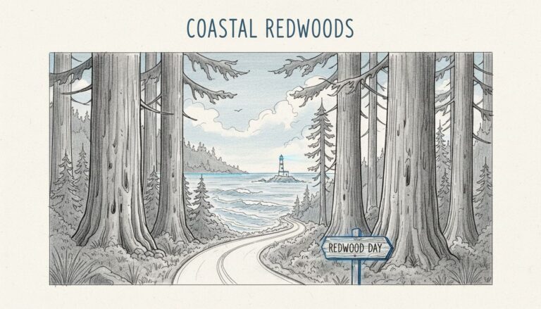
For your first coastal hiking and backpacking trip, I recommend a short overnight near Tillamook Head, with an established campsite and a manageable walk. Other routes, including Cape Falcon and Cape Lookout, make excellent practice outings before you add overnight gear.
The sweet spot is simple logistics, enough daylight, and scenery you don’t have to exhaust yourself to enjoy. Start with the routes below, then build your trip around legal camping, transportation, and the ocean’s schedule.
Key Takeaways
- Tillamook Head offers a short hike-in overnight, but you’ll need to carry drinking water.
- Cape Falcon, Elk Flats, and Cape Lookout are better treated as day hikes or loaded-pack practice.
- Waldport’s beach route depends on tides, with a necessary bridge crossing over the Alsea River.
- A short coastal hike can still involve mud, exposed cliffs, and dangerous surf.
Understand the Route Before Choosing Your Section
The Oregon Coast Trail follows 362 miles of Oregon coastline through old-growth rainforests, windswept headlands, sandy coves, and coastal towns. Having said that, 362 miles isn’t a reliable walking total. The Oregon Dunes are a separate coastal landscape of broad sand fields, distinct from the route’s headlands and forests.
The Oregon Coast Trail Foundation describes the complete route and its sections as approximately 425 miles when walked entirely, or 380 miles with recommended water crossings. River mouths, road connections, and your chosen route account for the difference.
For a first trip, choose one short section instead of connecting several famous viewpoints. A beautiful day hike doesn’t automatically have a legal campsite at its far end.
If you’re still building trail confidence, my beginner-friendly hikes in Oregon offer more opportunities to practice before carrying overnight equipment. Comfortable footing and an easy turnaround matter more than collecting miles.
Cape Falcon and Elk Flats: Practice With Your Pack
These neighboring options in Oswald West State Park offer a useful introduction to coastal footing without an overnight commitment.
Both are day hikes that return to their starting access points, and neither has a designated campsite at the endpoint. Check current parking rules and nearby lodging or campground options before planning.
Cape Falcon: Forest First, Ocean Views Later
Cape Falcon is a moderate 4.6-mile round trip hiking trail through dense Sitka spruce forest to an ocean viewpoint. Start from the signed Cape Falcon trailhead along Highway 101.
Expect roots, mud, and rolling terrain rather than a smooth woodland stroll. Wet footing can slow your pace considerably, especially with a backpack.
I recommend this as a loaded-pack practice hike. You’ll learn whether your shoes, pack adjustments, and rain protection work without having to finish at a distant campsite. Stay back from exposed headland edges.
Elk Flats: Shorter Mileage, Exposed Viewpoints
Elk Flats hiking trail outings run roughly 2.9 to 3.5 miles, depending on the route and side trips. Forest, open meadows, and scenic viewpoints over the Pacific provide plenty of variety.
Use the designated roadside trailhead and remain on established paths. Keep extra distance from cliffs, especially when wind and slick ground arrive together.
This is the shorter choice if Cape Falcon sounds ambitious. Keep in mind, though, exposed edges make it less forgiving than its mileage suggests.
Ecola and Tillamook Head: A Manageable First Overnight
This is the suggested overnight if sleeping along the trail is your priority.
Choose the Short Camp Approach
Ecola Park refers to Ecola State Park, near Cannon Beach, where several hike names are easy to mix up. A roughly 6-mile one-way traverse connects Indian Beach with the Tillamook Head trailhead near Seaside. This separate point-to-point hike needs its own transportation plan, and it’s different from the shorter Ecola Point-to-Indian Beach outing.
For a first overnight, take the inland side of the Clatsop Loop from Indian Beach toward Tillamook Head’s backpacker camp. The short hiking trail is about 1.5 miles each way, climbing through coastal forest.
The short distance leaves room to adjust your pack, move carefully through mud, and reach camp without rushing. For the Indian Beach approach at Ecola Park, arrange a drop-off and pickup rather than assuming day-use parking permits overnight storage.
Build the Trip Around Camp Practice
Tillamook Head’s primitive backpacker camp has shelters and designated camping space, but no potable water. Carry enough for drinking, dinner, breakfast, and the return hike.
On the first afternoon, walk directly to camp and get your shelter organized before exploring nearby established trails. Keep food and scented items secured against wildlife.
The following morning, pack up and return to Indian Beach. That gives you a genuine overnight without a long second day or highway connection.
For a beginner, learning how to stay warm, prepare food, and repack a damp tent is plenty of accomplishment.
Cape Lookout and Cape Meares: Separate Coastal Stops
Both belong on a northern coast itinerary, but they aren’t neighboring trailheads. Treat them as separate day hikes or sightseeing stops, not a linked overnight section. Each outing returns to its starting access point.
Cape Lookout: A Longer Headland Walk
Cape Lookout Trail is often rounded to a 4-mile out-and-back, but allow closer to 5 miles for the full headland outing. Moderate terrain, roots, mud, and open cliff views over the Pacific make this more demanding than the distance alone suggests. The Cape Lookout Trail returns to the Cape Trailhead.
Use the Cape Trailhead parking area, rather than assuming the campground is your starting point. Oregon State Parks’ trail guides and park maps distinguish the Cape, North, and South trails.
As of November 2026, construction has closed the campground, day-use area, and part of the North Trail, with work expected through spring 2027. The Cape Trailhead remains open for the Cape and South trails.
Cape Meares: An Easier Lighthouse Visit
Cape Meares Lighthouse has its own parking area well north of Cape Lookout. It isn’t beside Cape Lookout’s trailhead.
Short paved paths lead toward the lighthouse and viewpoints, so this is an easier outing between bigger hiking days. Return to the same parking area after your visit. Beach access is a separate excursion; don’t assume there’s a maintained descent directly below the lighthouse.
For beginners, Cape Meares works best as a scenic stop rather than a backpacking destination. Verify current parking, campground, and trail closures before choosing a nearby place to stay.
Waldport: Let the Tide Shape Your Beach Walk
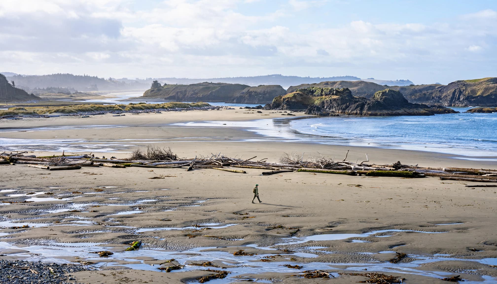
The beach near Waldport offers straightforward walking, though soft sand and uneven shoreline can slow your pace. The Alsea River mouth interrupts the route, so use the bridge, even when exposed sand makes the mouth look passable.
A practical northbound plan looks like this:
- Start at Governor Patterson Memorial State Recreation Site, or farther south at Beachside State Recreation Site.
- Walk north on the beach during a suitable low-tide window, then use established access toward town streets and the visitor-center area.
- Reach the south end of the Alsea River Bridge and cross using its pedestrian facilities.
- North of the river, use public beach access near Bayshore Beach Club, then continue north toward Driftwood State Recreation Site.
Bayshore Beach Club is a useful landmark, but it doesn’t give you permission to cross private grounds.
The exact mileage depends on your starting access and exit point, so check a current map before setting your distance goal. High tide can force highway connections or make your intended shoreline passage unsuitable. With the right window, the bridge can be your only substantial Highway 101 walk, although town streets and access paths remain part of the connection.
Before treating this as a backpacking section, verify legal overnight lodging or designated camping separately. Beach access doesn’t establish permission to camp.
The foundation’s detailed coastal route maps show mileage, tide information, and protected areas. Treat the south and north beach stretches as separate hikes if you’re still learning coastal timing.
Samuel Boardman: Enjoy the Bridges Without Scrambling
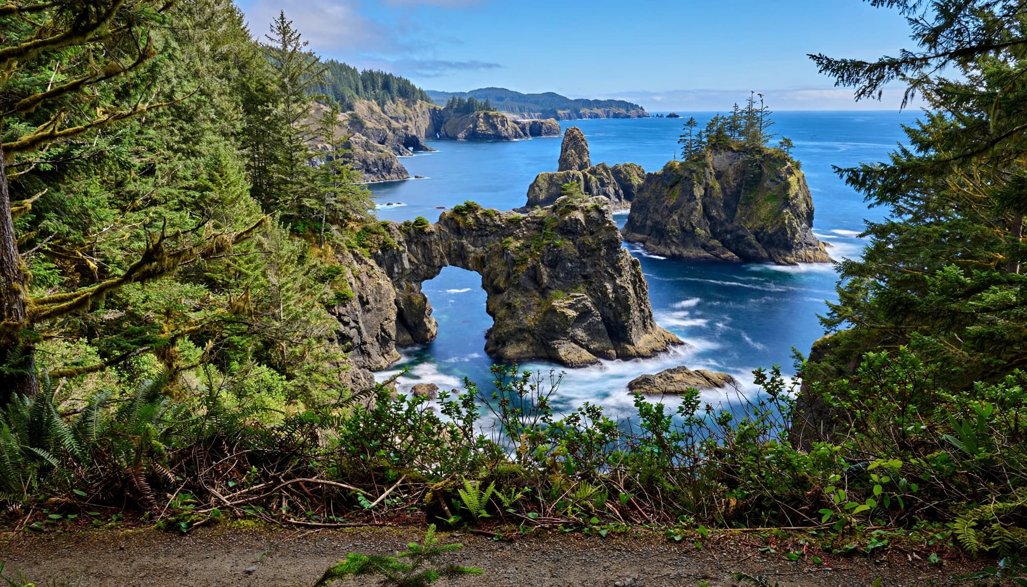
Samuel H. Boardman State Scenic Corridor, also known as the Samuel Boardman Scenic Corridor, follows the southern coastal highway. This scenic drive connects roadside access points with coves, cliffs, and scenic viewpoints. The Natural Bridges viewing area takes roughly a quarter-mile walk from the established viewpoint, depending on your starting point.
For your first visit, stick to maintained viewpoints. Scrambling toward the arches for Instagram photos damages fragile ground, conflicts with Leave No Trace principles, and creates serious fall and rescue risks.
Closures can reflect erosion and unstable terrain, so don’t assume a closed path is safe because someone else used it. Check current access and parking rules before you go.
These are day-use stops reached from established trailheads or viewpoints, not overnight backpacking routes. Short mileage doesn’t make the cliff edges suitable for exploring with an overnight pack.
Tides, Camping, and Transportation Come Before Mileage
For beginner Oregon Coast Trail hikes, a dry summer or early-fall weather window is usually easier than a winter outing. Coastal wind and fog still deserve warm layers and rain protection.
Use NOAA tide predictions for a station near your route and your actual dates. Read the entire walking window, including whether water will rise before you reach your exit.
A predicted low tide doesn’t guarantee safe passage. Large surf can reach narrow beaches even while the tide is falling.
Never turn your back on the ocean, climb wet driftwood near the surf, or attempt river-mouth crossings.
For overnight trips, use designated camping rather than assuming an empty beach is available. Beach camping is prohibited in many city areas, beside state parks, and in protected habitat. State park day-use areas and waysides don’t allow overnight parking.
Day-use parking fees, camping charges, and trail permits are separate matters. A parking pass doesn’t authorize camping.
Carry offline maps, a headlamp, rain protection, an insulating layer, blister supplies, and a water-treatment method. Filters don’t remove salt, so identify freshwater sources or carry your supply.
For point-to-point sections, arrange transportation before starting. The coast’s trail connections and town access require more planning than simply following the sand.
Oregon Coast Trail Hiking FAQs
Can You Walk the Beach Between Yachats and Newport?
You can walk substantial beach sections, but you can’t treat the entire distance as uninterrupted shoreline. River crossings, access points, tides, and rocky stretches require inland connections. Waldport’s Alsea River Bridge is one necessary crossing.
What’s the Best Time of Day for Beach Hiking?
Choose your start around a suitable tide window, enough daylight, and manageable surf. Early morning isn’t automatically safer. A receding tide generally gives you more room, but your route and exit determine the useful window.
Is Thor’s Well Worth Adding to a First Trip?
Thors Well, often styled Thor’s Well, near Cape Perpetua is a worthwhile separate coastal stop, with dramatic surf moving through basalt formations. Watch from a safe distance. Wet rock and surging water make approaching the opening dangerous, especially during rough conditions.
Keep Your First Coastal Overnight Simple
A short approach to a designated camp gives you room to enjoy the coast and learn your overnight routine. Manageable logistics matter more than finishing a long section.
I’d start with a simple Tillamook Head overnight, then try Cape Falcon or Cape Lookout on a longer outing. Oregon Dunes is a separate sandy-coast trip, not an extension of that first overnight. Save ambitious beach connections until tide planning and carrying your gear feel familiar.