A Grand Canyon South Rim map can look overwhelming at first, with overlooks, trailheads, shuttle routes, and a scenic drive all crowded onto one page. The good news is you do not need to study every overlook. A few zones give you the biggest payoff fast, and that is where first-timers should spend their time.
Most first-timers lose time zigzagging across the rim. It works better to lock in the best views, the best walking area, and one smart hiking corridor, then add extras only if the day still has room. That simple approach makes the map feel smaller and far more useful.
Key takeaways
- Focus first on the Village core, Mather Point, Yavapai Point, and one trail corridor.
- Bright Angel Trail is the better pick for a first below-rim hike than South Kaibab.
- The South Rim is open year-round, 24 hours a day, and entry is $35 per vehicle for 7 days.
- Desert View Drive is the best bonus area when you have a car and extra time.
- Trail closures and water status change often, so check the official NPS conditions page before you go.
How to break the South Rim map into useful zones
On paper, the South Rim looks spread out. In practice, it splits into four simple zones, and that is enough for most visitors. Grand Canyon Village sits at the center, Desert View Drive runs about 23 miles east to the Desert View Watchtower, and the two corridor trails drop into the canyon from near the Village.
This quick breakdown is a good way to decide where to spend time:
| Area | Best for | Why it earns the time |
|---|---|---|
| Village core | First stop | Easiest logistics |
| Mather and Yavapai Points | Classic overlooks | Best fast payoff |
| Bright Angel corridor | First hike below the rim | Most beginner-friendly setup |
| Desert View Drive | Extra half-day | Quieter scenic reward |
If it is your first visit, do not try to “do it all.” Leave the farther stops for a return trip, because the central rim already gives you the famous views, easy walking, free shuttles, food, and trail access. That is a lot of value in one compact area. For a full day-by-day plan that builds on these zones, see this Grand Canyon South Rim itinerary.
Before any trip, check the official South Rim maps and alerts. The park layout is simple once you see it, but closures, water status, and shuttle details can change your plan fast.
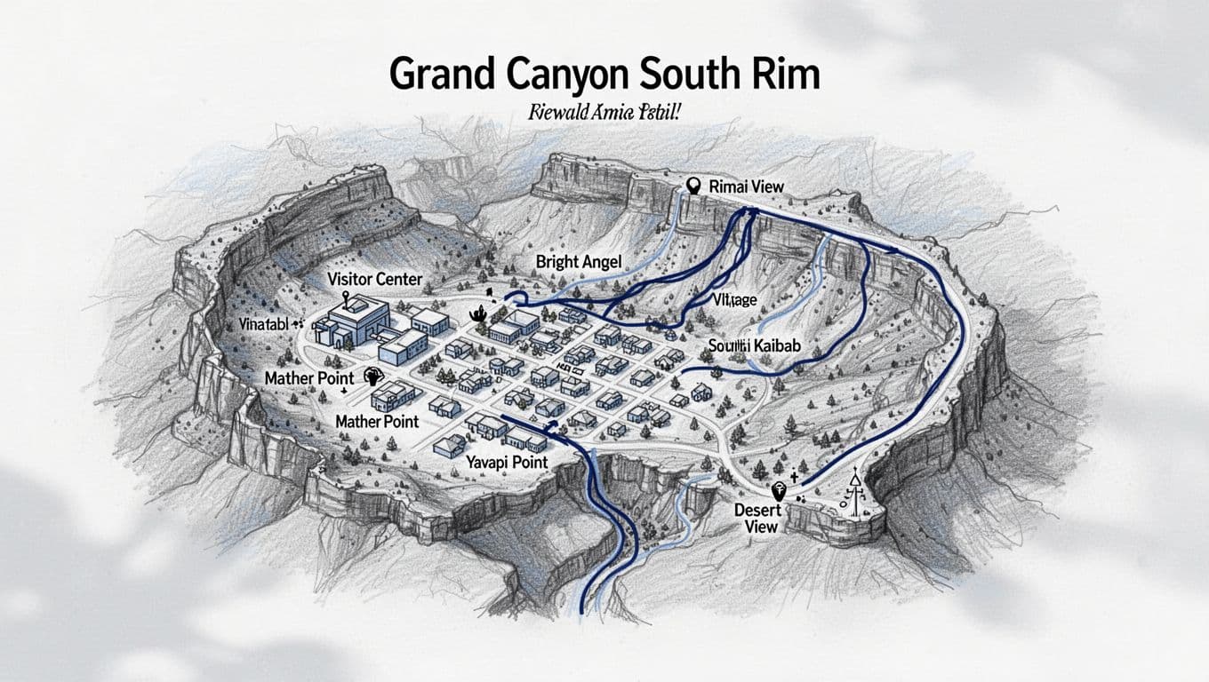
Focus first on the Village core, Mather Point, and Yavapai
If you had to pick one slice of the map for a first-timer, it would be the visitor center to Yavapai Point area. That is the sweet spot, and it is anchored by the Grand Canyon Visitor Center, the Yavapai Geology Museum, and two of the most famous overlooks on the rim.
Mather Point gets the hype, and it is worth it. The view hits hard the second you walk up. Yavapai Point is often the better place to linger, because the angle feels wider and the crowds tend to spread out a bit more. The paved Rim Trail between them ties everything together, so you can keep walking without overthinking the route.
The simple rule: get your big view first, then decide if you want miles.
This zone also works well if you are not hiking below the rim. You can park, walk, ride the free Village (blue) and Kaibab Rim (orange) shuttles, and stack great overlooks without burning half the day in transit. That makes it ideal for families, casual walkers, and anyone arriving late in the day.
If you want help comparing more overlooks before you go, this South Rim viewpoints guide is a solid shortcut. For pure efficiency, though, Mather plus Yavapai is the strongest starting combo.
Use the trail corridors with a plan, not on impulse
This is where the map stops being scenic and starts being serious. The South Rim has two corridor trails into the canyon, Bright Angel Trail and South Kaibab Trail, and below the rim the wrong choice can cost you energy, water, and time.
For beginners, Bright Angel is usually the better first hike. The trailhead is easy to find near Grand Canyon Village, it has shade and seasonal water stops along the way, and the descent feels controlled. South Kaibab is spectacular, with open ridgeline views the whole way down, but it is more exposed, it has no water on the trail itself, and you can only reach the trailhead by shuttle or bike since private vehicles are not allowed at Yaki Point. In short, South Kaibab makes a better second hike than first hike for many people.
If you want realistic planning help, pair your map with these Grand Canyon South Rim day hike turnaround times. Turnaround times matter more than destination goals here, because the climb out is the real test.
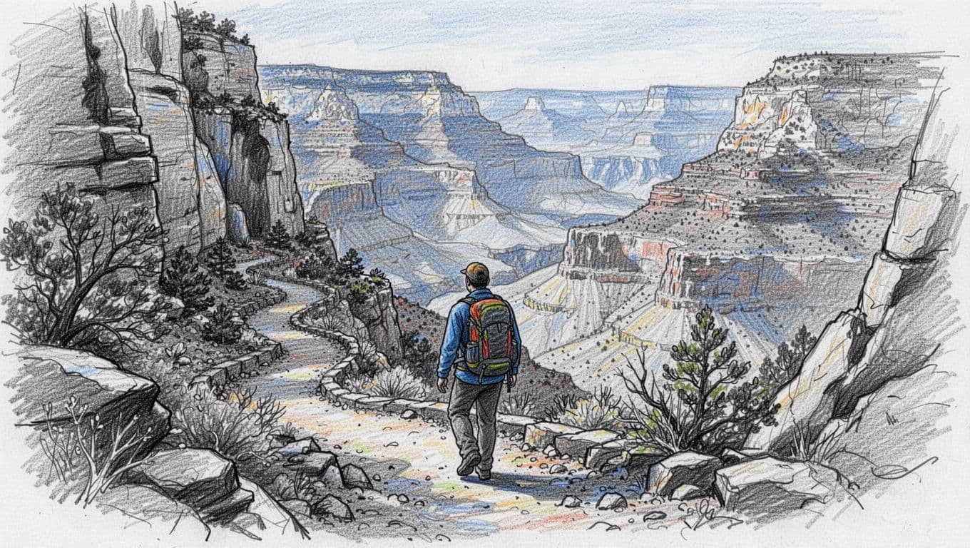
Current conditions matter too. Trail closures and inner-canyon water status shift through the year, and recent waterline breaks have turned taps on and off with little notice. Always carry enough water to treat your own, and confirm what is open on the official Grand Canyon conditions and alerts page right before you hike rather than trusting any single snapshot.
Save Desert View for your extra half-day
Desert View is the area to add once you have already covered the central rim, or when you want a quieter drive with repeated canyon pullouts. Desert View Drive runs about 23 miles east of the Village, past overlooks like Grandview Point and Lipan Point, and ends at the Desert View Watchtower. If the Village core is the headline act, Desert View is the slow-burn encore.
This section of the map spreads out the experience. Instead of one big overlook and a crowd, you get a chain of stops, changing angles, and a longer feel for the canyon’s scale. The Watchtower is the anchor, but the drive itself is part of the reward.
That said, do not force it into a rushed visit. If you only have a couple of hours, stay central. Desert View is best when you have a car, steady daylight, and room to move at an unhurried pace.
Before you go
A little planning keeps the map working in your favor. Here is the short list worth handling before you arrive:
- Entry and hours. The South Rim is open 24 hours a day, year-round. A private vehicle pass is $35 and covers everyone in the car for 7 days. The park is cashless, so bring a card.
- Getting there. The South Rim is about 1.5 hours from Flagstaff, 3.5 hours from Phoenix, and 4.5 hours from Las Vegas. The gateway town of Tusayan sits about 7 miles south.
- Shuttles. Free shuttles cover the Village (blue), Hermit Road (red), and Kaibab Rim (orange) routes, plus a seasonal Tusayan (purple) route in summer. Hermit Road is closed to private vehicles from March 1 through November 30, so plan to ride the shuttle out to Hermits Rest in that window.
- Conditions. Check the NPS conditions page for trail closures, water availability, and weather, and pack your own water and a treatment method either way.
Arizona has plenty more to explore once the canyon has you hooked. If you are building a longer trip, these best hikes in Arizona and this Sedona hiking itinerary pair well with a South Rim visit.
FAQs about the Grand Canyon South Rim map
Do you need a printed map?
It helps to have one, even if you mostly use your phone. Cell service can be spotty, and a paper map makes the main zones easier to grasp at a glance. You can pick one up free at the entrance station or visitor center.
What area should you focus on with only two hours?
Stay in the Village core and walk the Rim Trail between Mather Point and Yavapai Point. That gives you the classic view, easy access, and the least wasted time.
Which trail corridor is better for a first below-rim hike?
Bright Angel Trail. It is easier to access from the Village, has shade and seasonal water along the route, and is a more forgiving introduction than the exposed South Kaibab Trail.
A huge canyon gets easier the moment you stop treating the map like a checklist. Focus on the areas that match the day you actually have, not the fantasy version of it.
Before you go, mark your first stop, your backup stop, and your turnaround point. That kind of focus is what turns the South Rim from overwhelming to unforgettable.