A Grand Teton National Park map can tempt you to cover every corner in one trip. The smarter first visit is smaller, because the park rewards focused time far more than frantic driving.
Most first-timers don’t need every trailhead on day one. Concentrate on the central corridor first, then add one northern zone if time allows. That simple filter saves time, cuts stress, and gets you to the views that feel like the Tetons.
Key takeaways
- The Moose to Jenny Lake corridor gives first-timers the biggest scenery payoff with the least driving.
- Jenny Lake, String Lake, and Taggart Lake deliver the fastest reward for the effort.
- Colter Bay to the north is the next pick for easier logistics, calmer crowds, and reliable services.
- Long canyon hikes and far-out map pins are better saved for a return trip.
Before you go
A few logistics make the map easier to read before you ever reach a trailhead:
- Entrance fee: A private vehicle pass is $35 and covers seven days. The park is cashless, so bring a card. An America the Beautiful pass also works, and it’s worth it if you’re pairing Grand Teton with Yellowstone, which charges its own separate $35 fee.
- No timed entry: Unlike some parks, Grand Teton has no timed-entry reservation. You can drive in any time, though lodging and campgrounds book up months ahead.
- Best season: Late May through September is the sweet spot for open roads and full services. The inner Teton Park Road closes to cars in winter, and snow is possible in any month.
- Getting there: Jackson Hole Airport (JAC) sits inside the park itself, the only commercial airport in any US national park. The town of Jackson is about 20 to 30 minutes south, and Yellowstone’s south entrance is roughly an hour north.
- Wildlife: This is bear country, both black and grizzly, plus moose, bison, and elk. Carry bear spray, keep at least 100 yards from bears and 25 yards from other wildlife, and never approach an animal for a photo.
How to read the Grand Teton National Park map
The park looks long and simple on paper, but it gets easier once you group it into zones. Two roads run north to south: the Teton Park Road is the inner scenic route that hugs the range and passes Jenny Lake, while the outer highway (US-26/89/191) moves faster along the valley floor. Most of the best first stops sit along the inner road. The west side puts you closer to lakes and trailheads. The east side, out along the Snake River and Antelope Flats, trades trail access for wide valley views, wildlife, and quicker repositioning by car.
For road updates, closures, and downloadable layers, start with the official park maps from the National Park Service. Season matters too, because spring openings and summer traffic can change how practical a zone feels.
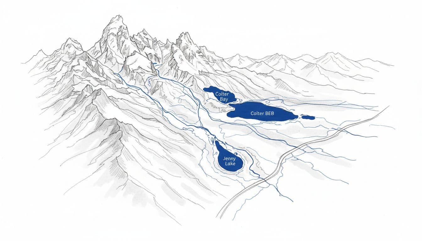
This is a quick way to sort the map before planning a day:
| Area | Why it earns first focus | Best fit |
|---|---|---|
| Moose to Jenny Lake | Biggest scenery payoff, iconic stops, short hikes | First-timers |
| String Lake to Leigh Lake | Easy walking, water access, relaxed pace | Beginners, families |
| Colter Bay | Services, lake views, simple navigation | Short stays |
| Interior and tougher trailheads | Higher effort, more planning, longer days | Return visits |
The pattern is clear. The central map gives the best scenery-to-effort ratio, so there’s no need to spread yourself thin early.
Start with Moose, Taggart, String, and Jenny Lake
This stretch is the heart of a first visit. On the map, it’s where the range feels close, trail options stack up fast, and short walks still feel memorable. Stop by the Craig Thomas Discovery & Visitor Center at Moose for maps and current trail conditions, then head to Taggart Lake, cool off near String Lake, or turn Jenny Lake into the anchor for most of your day.
One note on access: the Moose-Wilson Road and Death Canyon trailhead on the southern edge are subject to construction closures, so check current conditions before routing through that corner. The main Teton Park Road stops above are unaffected.
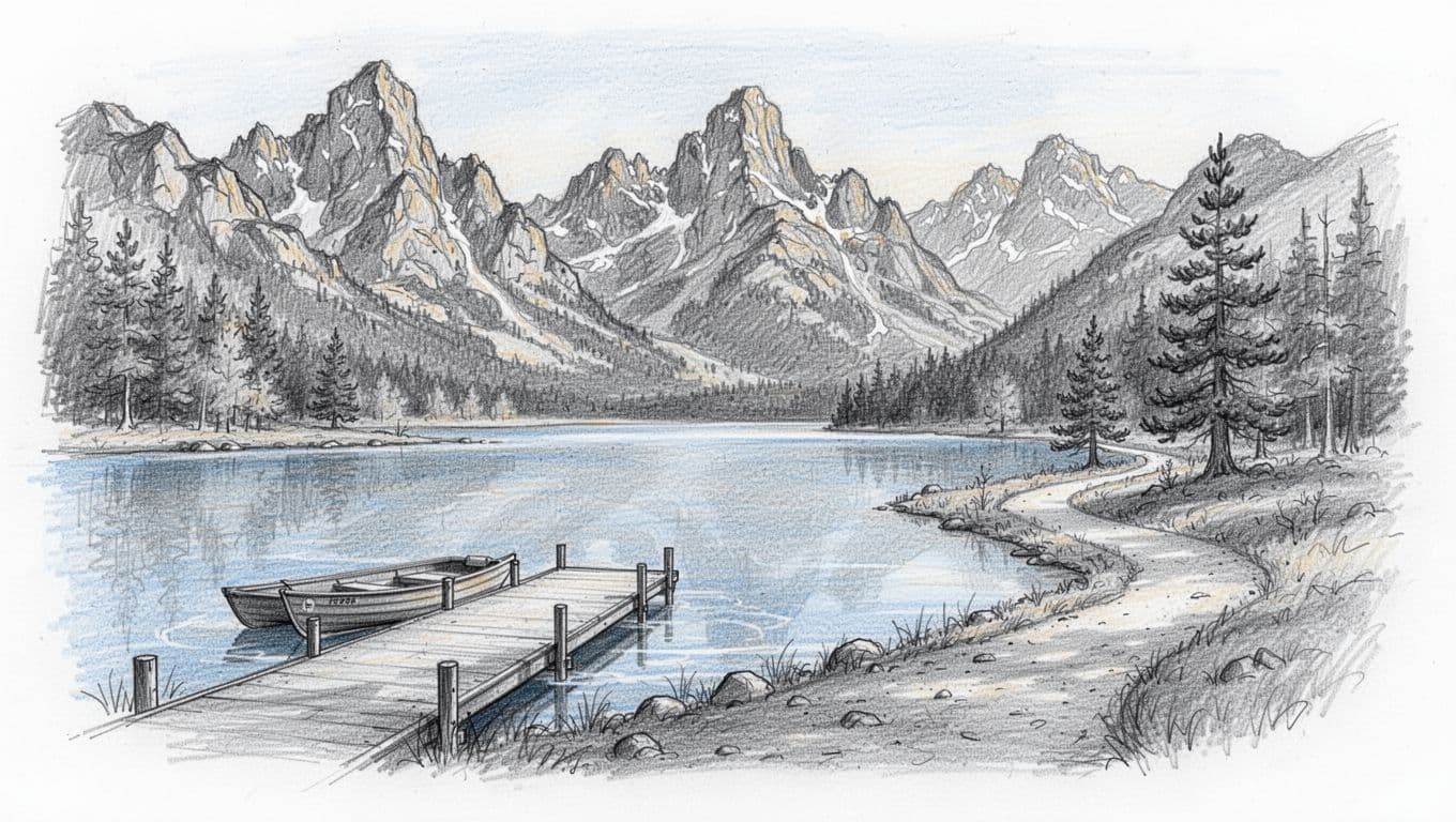
This zone gives beginners room to adjust. If energy is low, the day can stay scenic and short. If everyone feels good, you can stretch the plan to Hidden Falls or Inspiration Point. The Jenny Lake Boating shuttle (fee charged) cuts the walk dramatically: Hidden Falls is about 1 mile round trip and Inspiration Point about 2 miles round trip from the west boat dock, versus roughly 5 and 6 miles on foot from the visitor center. Cascade Canyon opens up beyond Inspiration Point for anyone who wants more. That flexibility matters more than people think.
For trail status and seasonal safety, check the NPS hiking page before you go. For one hike that explains why this zone is so popular, see this guide to the Jenny Lake to Cascade Canyon day hike. It connects the map to a real plan.
The catch is parking. This corridor gets busy early, especially in summer, when the Jenny Lake lot fills and you may end up parking along the road. To build a smooth day around Jenny Lake, lean on this Grand Teton hike timing guide and protect the morning.
Add Colter Bay for easier logistics
After the central corridor, head north along the John D. Rockefeller, Jr. Memorial Parkway. Colter Bay stands out on a Grand Teton National Park map because it bundles lake access, food, restrooms, a visitor center, and short walks in one easy area. That makes it a strong second focus, not an afterthought.
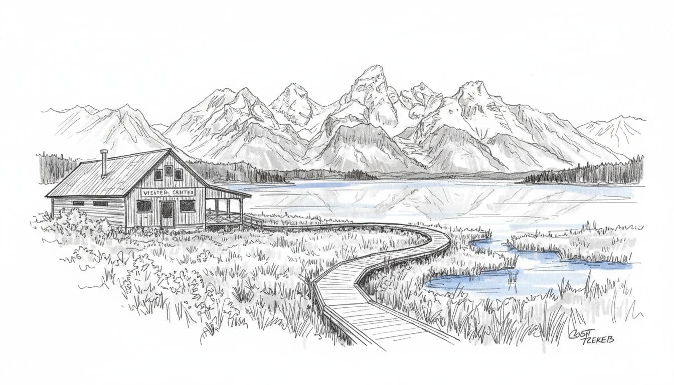
This part of the park feels friendlier for a lighter half-day. Jackson Lake is huge, the shoreline views of Mount Moran are wide open, and the pace is calmer than Jenny Lake. The nearby Signal Mountain Summit Road adds a quick drive-up viewpoint over the valley, and the visitor center is handy for orientation. Colter Bay also works as a backup when the central lots fill up faster than expected.
For more easy-route ideas nearby, this list of beginner hikes in Grand Teton pairs well with a map-based plan, because it helps match effort to the zone you’re already visiting.
What to save for later
Not every pin deserves attention on a first trip. The park’s tougher canyon climbs in areas like Paintbrush Canyon and Death Canyon, along with bigger mileage days, are worth saving for later, because they demand more time, stronger legs, and tighter planning. These are the spots where backcountry permits and careful map reading come into play.
The southern and eastern edges are also worth a lighter touch on day one unless wildlife viewing is the main goal. They’re beautiful, but they rarely give beginners the same fast payoff as String Lake. For wildlife, the classic spots are along the Snake River at Oxbow Bend and Schwabacher Landing, and at the historic Mormon Row barns out on Antelope Flats, where the T.A. Moulton Barn frames the Teton skyline. Double-check spring road openings and seasonal services before locking in a route.
For most first trips, the rule is simple: the Teton Range and its lakeside trails first, everything else later. That approach turns a busy park into one that actually feels spacious. For trails beyond Grand Teton, see the best hikes in Wyoming for picks across the state. If Yellowstone is on the same trip, this two-day Yellowstone itinerary covers the park an hour north.
FAQs
What part of the map is best for first-time visitors?
Start between Moose and Jenny Lake. That zone showcases the dramatic Teton Range, the park’s best-known scenery, easy visitor-center stops, and flexible hikes for any energy level.
Do you need a paper map if you have a phone?
Both are smart. Cell service is patchy across the park’s terrain, so a downloaded trail map or a printed park map makes reliable backup when your signal drops.
Is Colter Bay better than Jenny Lake for beginners?
For the biggest first impression, choose Jenny Lake. For easier logistics and a calmer pace on Jackson Lake, choose Colter Bay. Many first trips fit in both.
How many areas should you focus on in one day?
Usually two at most. One central zone and one northern stop keeps the day enjoyable and cuts down on windshield time.
How much does it cost to enter Grand Teton National Park?
A private vehicle pass is $35 and is good for seven days. The park is cashless, so bring a card, or use an America the Beautiful pass if you have one.