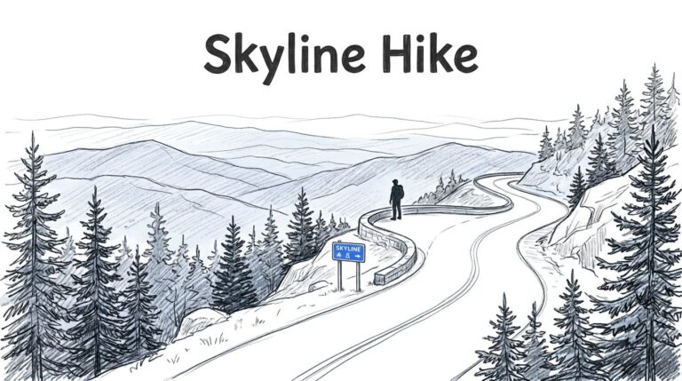
For your first Black Elk Peak hike, I recommend Trail 9 from Sylvan Lake, with 4 to 5 hours set aside for the round trip. It’s the most direct approach, and the historic summit tower delivers the big Black Hills views you’re coming for.
Having said that, this deserves more preparation than a casual lakeside walk. Parking, rocky footing, and exposed summit weather matter, so choose your route before filling the rest of your day.
Key Takeaways
- The direct route is the shortest, most traveled summit route, at roughly 6.4 to 6.6 miles round trip.
- The scenic loop is approximately 7.1 to 7.2 miles, before optional side trips.
- Aim to park around 7am to 8am during busy summer periods, and carry water, layers, and a downloaded map.
Black Elk Peak Hike: Distance, Time, and Difficulty
Black Elk Peak reaches 7,242 feet, making it South Dakota’s highest point. The summit is in Black Elk Wilderness, beyond the state-park portion of the approach.
Use these figures to choose the shape of your day.
| Route | Approximate distance | Planning time | Best fit |
|---|---|---|---|
| Direct out-and-back | 6.4 to 6.6 miles | 4 to 5 hours | A straightforward first summit |
| Scenic loop | 7.1 to 7.2 miles | 5 to 6 hours | More varied scenery |
The loop deserves extra time even when its mileage looks only slightly longer.
Trail Addict lists this approach as 6.4 miles round trip, or 3.2 miles each way, with 1,518 feet of elevation gain and a Difficult rating. South Dakota’s 2026 Custer State Park guide lists Trail 9 as 3.3 miles one way and strenuous.
Those small differences aren’t a reason to overthink your choice. Experienced hikers may find the difficulty moderate, but published ratings call the hike difficult or strenuous. Plan for a sustained uphill hike with uneven surfaces, rather than an easy walk because the route is popular.
Choose Trail 9 or the Scenic Loop
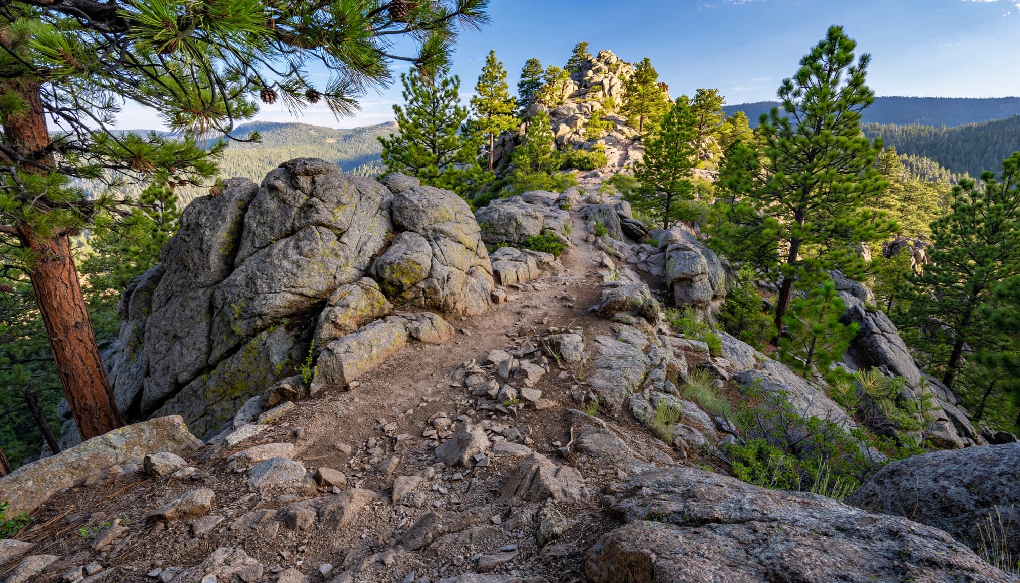
Trail 9 keeps the day straightforward
The route is the shortest and most direct summit approach. Trail Addict also describes it as the most popular and well-traveled route.
Begin at the lake and follow the signed trail through pine forest and granite formations. You’ll gain and lose some elevation along the way, so the return isn’t entirely downhill.
For beginners comfortable walking several miles, this is my pick. An out-and-back keeps the decisions simple, and you can turn around whenever your energy, daylight, or weather window calls for it.
Trail 4 adds variety, with optional detours
The loop is commonly estimated at 7.1 to 7.2 miles. Take Trail 4 uphill and the direct route downhill for different scenery on each leg.
The loop passes the Little Devil’s Tower spur and the Cathedral Spires junction, but those side trips aren’t automatically included in the mileage estimate. Little Devil’s Tower also involves scrambling near its top.
The other trailhead is on Highway 87, south of the main lake access point. Your access point and connecting walk affect the total. Download the complete loop, rather than following a single trail number.
Expect Rocky Footing and an Exposed Summit
The final climb needs your attention
The rocky terrain includes dirt, exposed roots, rock, and sandy sections. Trail Addict describes fine, potentially slippery footing over the final three-quarters of a mile, followed by stone steps near the historic fire tower.
Take your time on the descent, particularly if your legs are tired. Shoes with reliable traction help more here than casual sneakers with smooth soles.
Trekking poles can also help on loose surfaces, although you’ll want your hands free where steps or railings require them. Give other hikers room instead of trying to pass on narrow sections.
The tower is the payoff
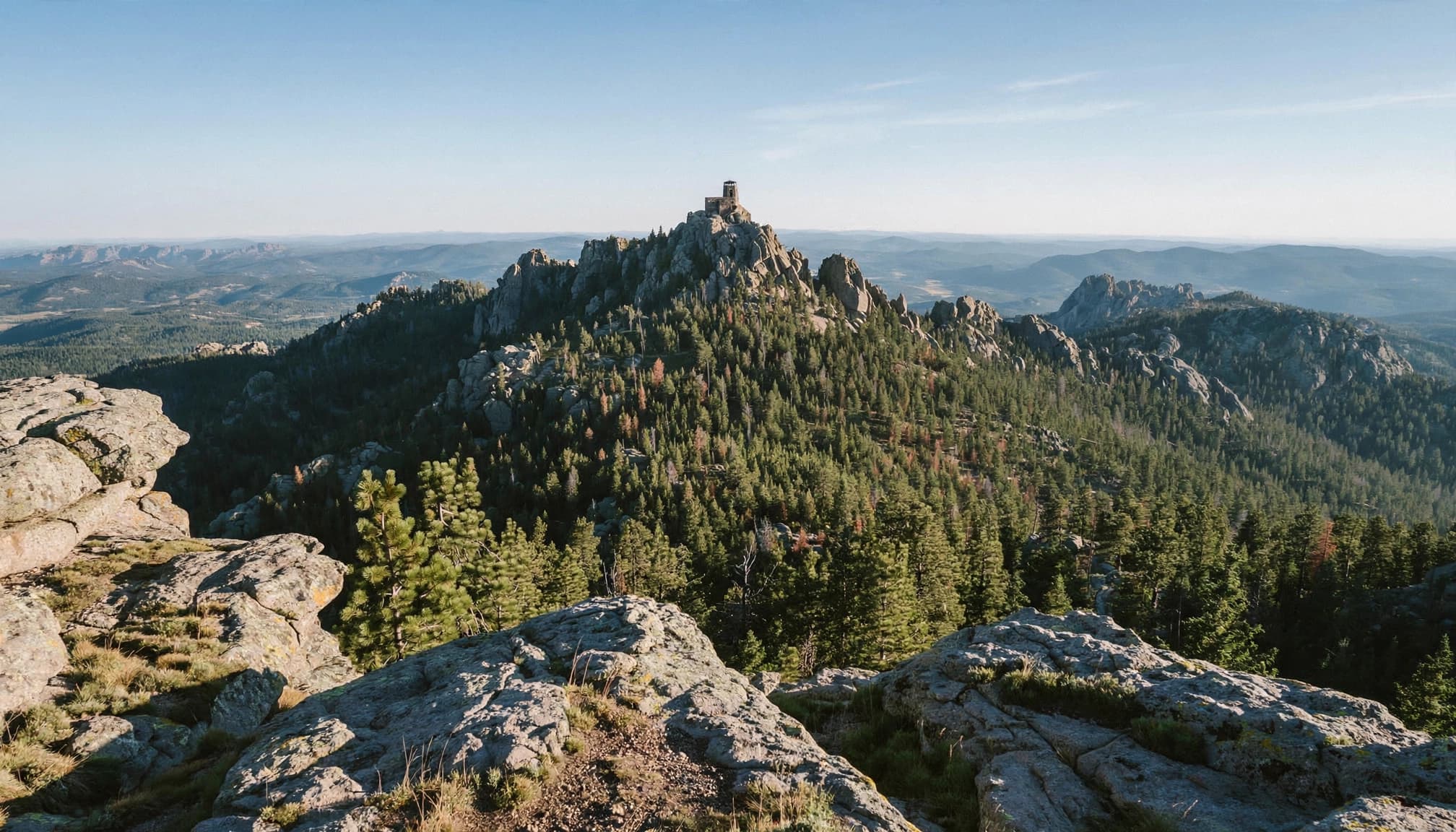
The summit’s stone lookout rises above granite outcrops, with panoramic views across forested ridges and rocky spires. This is the reason to leave breathing room in your schedule.
Allow about 20 to 30 minutes for a snack, photos, and a comfortable break if conditions cooperate. Keep children and dogs close around exposed edges, and leave any prayer ties or other cultural offerings undisturbed.
Wind can make the summit feel much colder than conditions at the lakeshore. Put your layer on before you settle in.
Parking, Fees, and Staying Near Sylvan Lake
Go straight to the day-use parking area
For the direct route, use the designated day-use area, reached from Highway 87. Walk toward the swimming beach and cross the footbridge to reach the signed approach.
One trail reviewer reported the lot filling by 10am. That isn’t a daily cutoff, but it’s a good reason to plan an early morning arrival, between 7am and 8am on busy summer days.
No lot capacity or dependable overflow plan appears in the official information available. If the lot is full, don’t create a roadside space or block access. A separate trailhead only works if you’ve planned its route and mileage.
An overnight stay buys you flexibility
As of November 2026, the Custer State Park entrance license costs $25 per vehicle for 1 to 7 days. That’s separate from campground charges.
Sylvan Lake Campground is a nearby overnight option for hikers who want an early start without a longer morning drive. I recommend staying nearby if your road-trip schedule would otherwise put you at the trailhead around lunchtime.
Keep the rest of summit day light. My park hiking plan offers shorter alternatives if your group decides the summit requires more time or effort than they’d enjoy.
Pick Your Season and Weather Window
Summer mornings offer the simplest plan
For a typical snow-free hiking trip, summer through early fall is the easiest planning window. Early starts help with parking, heat, and time on the exposed upper trail.
A midday Black Elk Peak hike can be manageable in mild weather, but I wouldn’t make it your default summer plan. Forest shade disappears near the summit, and thunderstorms can bring lightning, hail, strong wind, and rain.
A cool morning at the lakeshore doesn’t tell you what the summit will feel like several hours later.
If thunder develops, abandon the summit objective. Don’t wait on exposed granite or treat the lookout as dependable lightning shelter.
Spring and fall need more flexibility
Spring and fall trail conditions can include mud after rain or snowmelt and lingering snow. Shaded stretches may hold winter conditions after sunny areas have dried.
Walk through muddy sections on the established trail rather than widening it around the edges. If ice makes footing insecure, turning around is the sensible choice.
In fall, shorter daylight reduces your margin for a slow descent. Winter turns this into a different outing, with snow, ice, and more demanding access and equipment considerations. For a first visit, choose a day with dry footing.
What to Bring, Plus Trail Rules
Pack for several hours away from the car, including a weather delay. My recommendation is 2 to 3 liters of water per person for a typical warm-weather outing, with more capacity for heat or slower travel.
Bring lunch or substantial snacks, a warm layer, rain protection, sun protection, a small first-aid kit, and a headlamp. Trail shoes or hiking boots should have dependable tread and already feel comfortable on your feet.
Download your route before leaving reliable service. The Black Hills National Forest recreation resources include information about offline maps and recreation alerts.
Dogs are allowed, but Custer State Park requires a leash no longer than 10 feet. Keeping your dog leashed throughout the hike is the simplest approach across land-management boundaries. Pets aren’t allowed on designated swimming beaches.
Trail Addict lists both dogs and horses as permitted, but its horse information conflicts with state guidance: stock is prohibited on the Harney Range trails there. Don’t plan a horseback trip on the approach from the lake.
Complete the free wilderness registration at the portal where required, pack out all waste, and yield calmly when sharing narrow trail sections.
Frequently Asked Questions
How long does the hike take round trip?
Allow 4 to 5 hours on the direct route, including breaks. One Reddit hiker reported roughly four hours at a slower pace; another started around 8am and reached the summit at 9:18am. That faster ascent isn’t a useful beginner benchmark. Another trip report recorded 8 miles and about 1,500 feet of gain, which shows why your exact route matters.
Is Black Elk Peak a mountain, and is it worth hiking?
Yes, it’s a mountain summit in the Black Hills, and the granite scenery and historic lookout make it a rewarding destination. Trail Addict calls it the highest point in the United States east of the Rocky Mountains. That broader wording depends on regional boundaries; South Dakota’s highest point is the clearer designation.
Can you swim afterward, or choose an easier hike?
The lake is a convenient post-hike swimming option, and Reddit hikers recommend it on warm days. Commenters also mention cliff jumping at Hippie Hole, but I wouldn’t recommend that add-on for beginners because depth, submerged hazards, and access conditions affect safety.
If the summit feels too ambitious, choose the easy 1-mile shoreline loop instead. The park’s shoreline-trail description lists it as an easy loop.
Give the Summit a Full Morning
For a first visit, the direct approach is my recommendation. It offers manageable planning and summit views without optional detours stretching your day.
Choose the Trail 4 loop when you want more variety and have extra time. Either way, leave enough room to enjoy the top and descend comfortably.