For the full Catskills Devil’s Path, I’d plan three days and two nights, with roughly 25 miles and 8,000 to 9,000-plus feet of climbing. Two days suits experienced backpackers, but this isn’t a forgiving first overnight hike.
The challenge comes from repeated steep climbs, rocky descents, and few dependable refills between mountain gaps. A manageable daily distance can still take most of your daylight.
Start by choosing your pace, then build your camps, source carries, and transportation around it.
Key Takeaways
- Use 25.2 miles as your full-route planning baseline, with additional mileage for campsite or source detours.
- Three days gives experienced hikers more breathing room; two days means long, demanding stages.
- Arrange your return transportation before hiking, and make Route 214 at Devil’s Tombstone your main bailout.
- Carry a treatment method and your own shelter, even when planning lean-to stops.
Understand the Distance, Peaks, and Difficulty
Why the mileage figures differ
NYSDEC describes the complete Prediger Road to Spruceton Road route as 25.2 miles. Other descriptions fall around 22 to 25 miles, while individual hikers have reported 27.
AllTrails lists its Spruceton Road to Prediger Road track at 22.6 miles with 8,412 feet of elevation gain. Different tracks, mapping methods, and endpoints shouldn’t be treated as interchangeable.
For planning, I’d use 25.2 miles plus detours. The Fastest Known Time route description gives 24.2 miles and 8,000 to 9,000 feet of climbing, which captures the overall workload.
The peaks keep coming
These are the principal peaks you’ll cross traveling east to west.
| Summit | Approximate elevation | What to expect |
|---|---|---|
| Indian Head mountain | 3,573 feet | Steep ledges and scrambling |
| Twin | 3,640 feet | Repeated climbing and broad views |
| Sugarloaf | 3,800 feet | Rough footing and demanding descents |
| Plateau | 3,840 feet | A steep approach and long ridge |
| West Kill | 3,880 feet | The highest peak directly on the route |
West Kill is the highest peak you actually reach on the route. Hunter Mountain is higher, but its summit requires a side trip.
Follow NYSDEC’s red plastic discs and red blazes, while keeping an offline map available.
Choose Three Days, Two Days, or a Single Push
Three days is my recommendation
I recommend 3 days for most people. This schedule spreads the climbing across shorter stages and leaves time to collect from sources before reaching camp. Eight miles here can feel considerably harder than eight miles on a smoother trail.
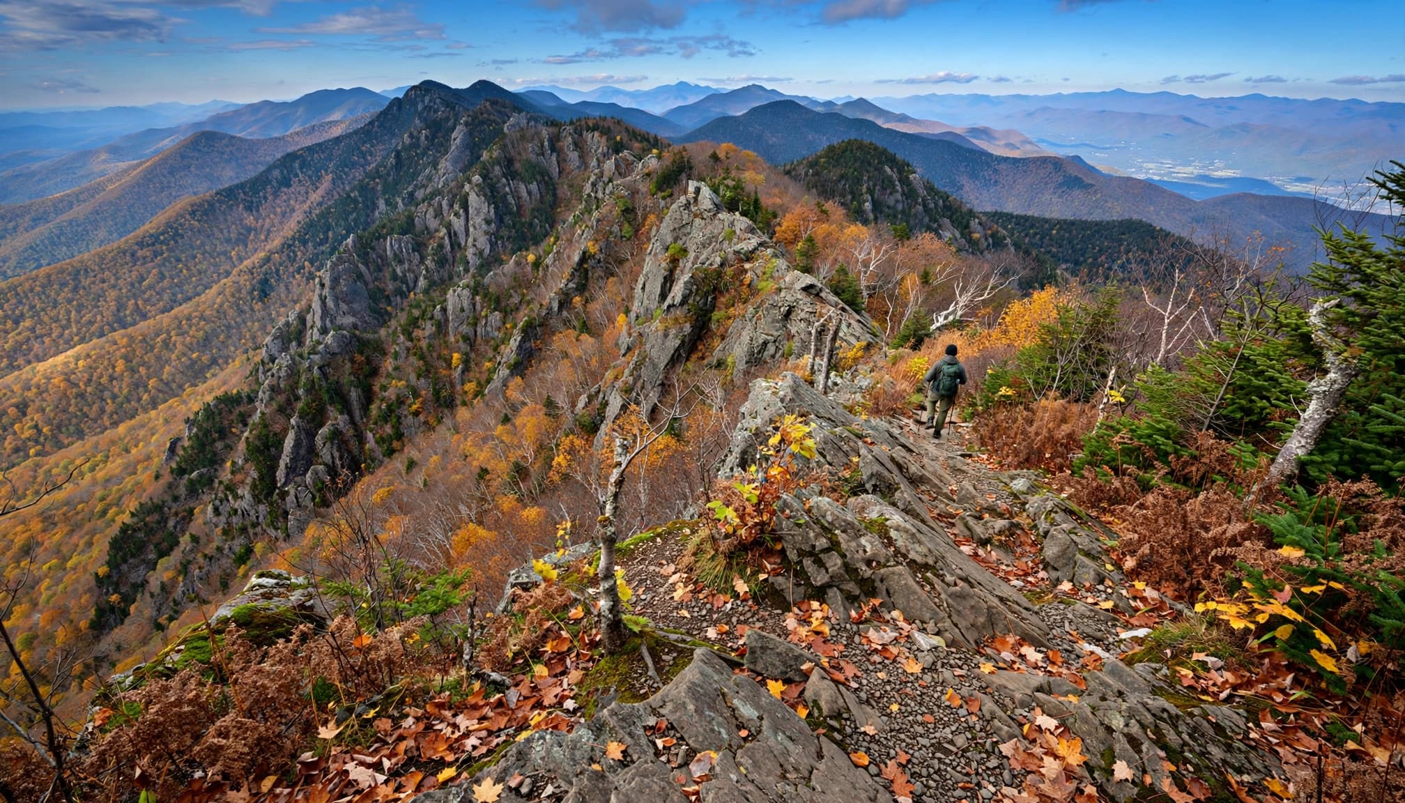
The eastern half, covering Indian Head, Twin, Sugarloaf, and Plateau, has the most concentrated scrambling and repeated steep climbs. The western half has fewer major summits, but the Hunter shoulder and West Kill still demand plenty of effort.
Explore-share’s advertised three-day guided hike covers about 40 kilometers and 4,500 meters of gain. It also requires good physical condition and previous trail experience. Treat that elevation figure as provider-specific, not as the baseline for this route.
Two days and one-day attempts need more experience
Two days means roughly 12 to 13 miles daily with a loaded pack. I’d reserve that schedule for people already comfortable with long mountain days and rocky descents.
Fast groups often finish in approximately 11 to 15 hours without overnight gear. A capable endurance athlete can complete it in one day, but fitness alone doesn’t establish readiness.
Figures around 4 to 7 hours describe FKT-level running efforts. They aren’t useful targets for a walking itinerary.
Your pace on steep, rocky descents matters as much as your uphill fitness. Plan around the slowest member of your group.
Build Your Itinerary Around Legal Overnight Stops
A practical three-day split
For an east-to-west trip, Mink Hollow and Devil’s Acre make useful overnight anchors. These are approximate stages, with campsite approaches and source detours adding mileage.
| Day | Route | Approximate mileage |
|---|---|---|
| 1 | Prediger Road over Indian Head, Twin, and Sugarloaf to Mink Hollow | 8 to 9 |
| 2 | Mink Hollow over Plateau, through Stony Clove, then up to Devil’s Acre | 8 to 9 |
| 3 | Devil’s Acre through Diamond Notch and over West Kill to western Spruceton Road | 8 to 9 |
The middle day includes a substantial descent followed by another major climb. Don’t mistake the road crossing for the end of the hard work.
Keep Hunter Mountain’s summit spur out of your baseline mileage unless you’ve deliberately budgeted for it.
A two-day split needs a different camp plan
For two days, the Route 214 crossing near Devil’s Tombstone Campground provides a roughly central overnight option when the campground operates and you’ve reserved a site.
Its listed 2026 season was May 15 through September 7. Campground operations and hiking access are separate matters.
Outside the operating season, you can’t assume that a roadside clearing or closed campground becomes a legal campsite.
Plan Water and Camps Together
Water is scarce where the climbing is hardest
The eastern ridges don’t offer dependable, frequent refills. Start with full containers, and carry enough to cross several summits without a refill.
Mink Hollow spring, streams around Stony Clove, Devil’s Acre spring, and the stream at Diamond Notch are useful planning points. Springs can weaken or disappear during dry weather, and some require leaving the main trail.
I’d bring 3 to 4 liters of carrying capacity, then adjust the actual carry for heat, source reports, and your pace. A long dry stage may demand more. Treat all natural water.
A spring symbol doesn’t guarantee a flowing source. Recent source reports matter more than a permanent map icon.
Lean-tos are useful, but bring a shelter
Mink Hollow has a lean-to and three designated tent sites near the trail junction. Devil’s Acre lean-to sits near the Hunter Mountain Trail junction. Diamond Notch offers another overnight option, with approach mileage to account for.
These are primitive shelters, not reserved bunks. Carry a tent or another suitable shelter in case they’re occupied.
Under DEC’s state-land camping rules, undesignated camps must be at least 150 feet from roads, trails, and shorelines. Catskill camping above 3,500 feet is prohibited March 22 through December 20, except in emergencies.
A ranger permit is required for groups of 10 or more, or stays longer than three nights in one location.
I recommend a bear-resistant canister for food and scented items. Catskill backcountry use doesn’t carry the same mandatory canister rule as the Adirondacks’ Eastern High Peaks.
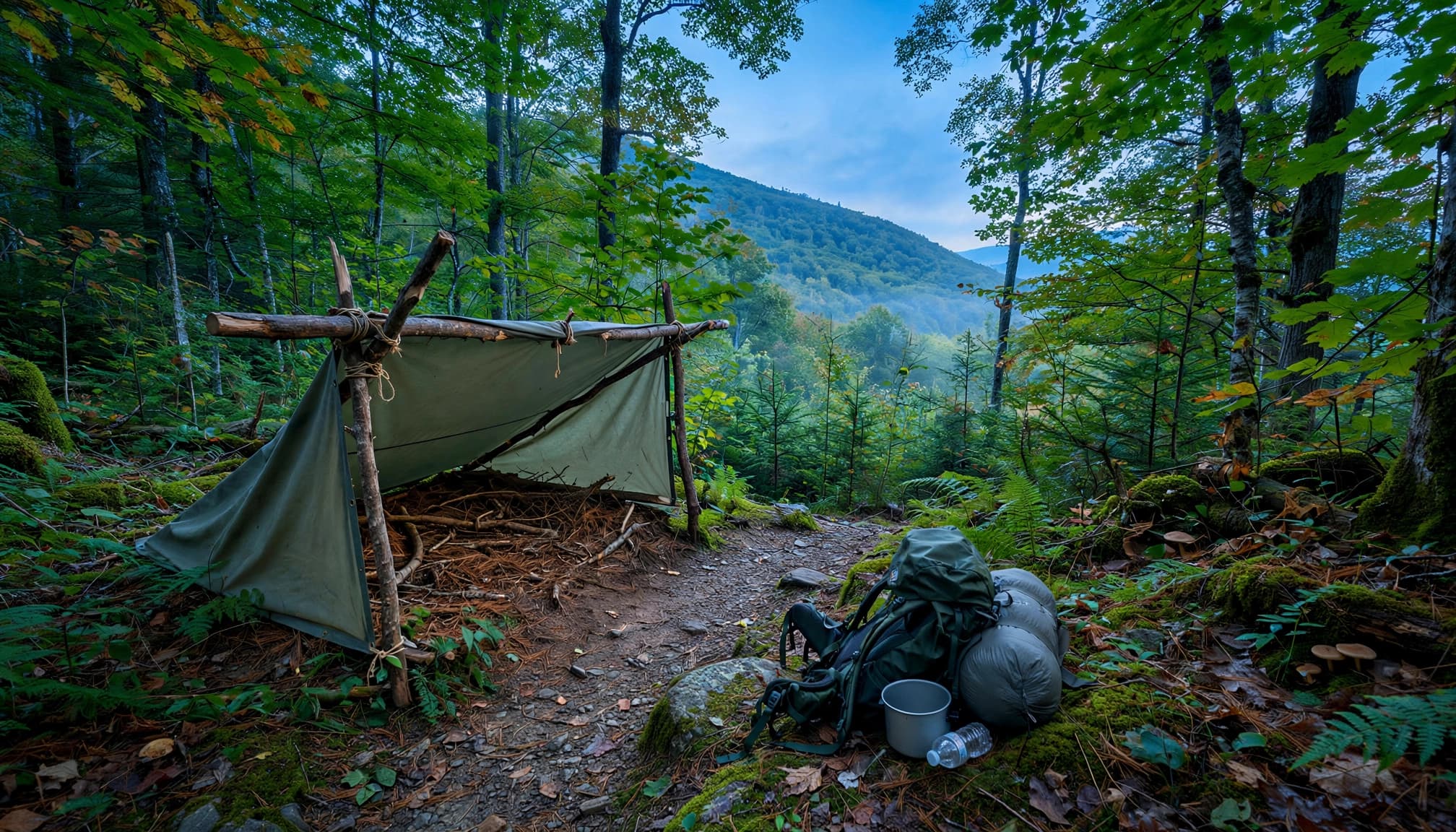
Carry your own shelter even when a lean-to is part of your plan.
Sort Out Transportation and Bailouts First
Leave your finish vehicle before starting
The eastern endpoint is Prediger Road. The western endpoint is the Devil’s Path parking area on Spruceton Road, 3.8 miles east of Route 42.
The western lot isn’t the farther-east Spruceton trailhead commonly used for Hunter Mountain approaches.
For this point to point hike, leave one vehicle at the finish, then drive everyone to the start. Keep keys with the hiking party, and distribute essential gear before separating the vehicles.
With one car, arrange a pickup or private transfer before hiking. I’d favor transportation to the start so your car is waiting at the finish. Don’t depend on finding a rideshare after an unpredictable mountain day.
Save exit locations offline
Stony Clove at Route 214, beside Notch Lake and Devil’s Tombstone, is the clearest mid-route road bailout.
Earlier exits include Jimmy Dolan Notch Trail toward Prediger Road and Pecoy Notch Trail toward Roaring Kill parking. On the western section, Diamond Notch Trail reaches a different Spruceton Road access point.
Every exit still involves walking, and some involve steep descents. Save the actual pickup locations offline, and leave them with your emergency contact.
A bailout that reaches a road several miles from your car still needs a transportation plan.
Pick Your Season and Pack for Wet Rock
April through November covers the commonly listed hiking window, but those months aren’t equally suitable for beginners. April can bring lingering ice and mud; November brings short days and freezing conditions.
For a first attempt, I’d choose a dry summer or early-fall forecast. Summer offers more daylight, while early fall can provide cooler climbing temperatures. Wet leaves, thunderstorms, and slippery ledges still deserve your attention.
Pack familiar footwear with dependable traction, rain protection, insulation, a headlamp, first aid, dry sleeping clothes, and spare phone power. A satellite messenger adds a useful safety margin. Wear blaze orange during hunting season.
DEC’s hiking preparation guidance emphasizes matching your plan to the terrain and forecast. Leave extra time for descents rather than spending every available hour on planned mileage.
Dogs must remain under control, with leashing when others approach. DEC day-use areas prohibit pets, which complicates a Devil’s Tombstone stop. Given the scrambling, I’d leave a dog home for this traverse.
Devil’s Path Planning FAQs
Is this a good first backpacking trip?
I’d build experience elsewhere first. Practice with your loaded pack on a shorter overnight, then try a demanding Catskill day hike before linking the entire trail.
My New York hiking guide includes shorter mountain and waterfall options. Overlook Mountain is a more approachable introduction than a full Devil’s Path traverse.
Which direction should I hike?
East to west puts the concentrated eastern scrambling earlier in your trip, when your legs are fresher. West to east remains a valid choice if it better fits your transportation.
Either direction includes steep descents. Choose around your camp plan, source plans, and pickup arrangements rather than expecting an easy direction.
Give Yourself Room to Enjoy the Trail
For the Catskills Devil’s Path, three days is a sensible starting point for hikers with mountain and overnight experience. The mileage becomes more manageable when camps, source plans, and transportation are settled before you start.
Build your schedule around rough terrain rather than your usual walking speed. Reaching camp with daylight and energy left is a much better finish than squeezing another summit into an already tired day.