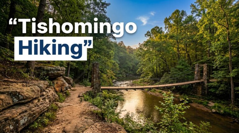
Connecticut makes you work a little for its best scenery, but never too hard. In Litchfield County, a short forest walk near the Housatonic River can end at a roaring cascade, a mossy gorge, or a rock ledge with striking geological features and miles of ridgeline ahead.
The best waterfall routes suit beginners because many offer a big payoff with modest elevation gain, not an all-day climb. Options span western Connecticut and Hartford County, but wet roots, crowded access, and low water in late summer can change the experience fast.
Key takeaways:
- Kent Falls is the state’s tallest waterfall and a top first stop for a Litchfield County itinerary.
- Spring and the day after steady rain usually bring the strongest water flow.
- Pair a waterfall with Talcott Mountain or Sleeping Giant for a proper ledge view with modest elevation gain.
- Wear shoes with real tread. Slick rocks are the one thing you should take seriously.
The Best Connecticut Waterfall Hikes for a First Visit
The sweet spot is a trail that feels scenic from the first few minutes, has simple access, and doesn’t leave you guessing where to park. For a first outing, I’d focus on Litchfield County or Hartford County. These are the routes I’d put at the top of the list.
Spruce Brook Falls is another option for hikers who want a less-developed setting, but check current access before visiting.
Kent Falls State Park: the classic cascading waterfall
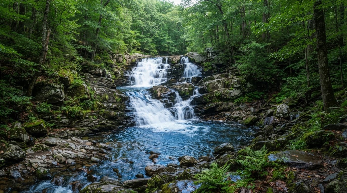
Kent Falls is the one I recommend when you only have time for one waterfall. The cascade drops roughly 250 feet in a series of steps through a steep, wooded ravine. At that size, the waterfall drop makes it the tallest waterfall in Connecticut and stands out among the state’s waterfall heights.
Kent Falls sits in Litchfield County near the Housatonic River corridor. When visiting Litchfield County, start at the trailhead by the broad lower falls near the covered bridge. Follow the uphill path beside Kent Falls Brook.
The walk to the upper falls is only about a quarter-mile, but don’t mistake short for flat. The trail uses stairs, has noticeable elevation gain, and gets slippery after rain, so take your time on the way down.
The reward is constant. Every bend reveals another pool, smaller fall, or view back through the trees. The parking lot can fill by late morning on weekends, especially during peak foliage, so I’d arrive close to opening if possible.
Kent Falls State Park is free for Connecticut-registered vehicles through the Passport to the Parks program. Visitors with out-of-state plates should expect a seasonal parking fee, usually collected from April through October.
Don’t plan a swimming stop here. There’s no swimming access at the falls, and entering the water is prohibited; the rocks around it are slick even when they look dry.
Chapman Falls at Devil’s Hopyard: a waterfall with room to wander
Chapman Falls is a better pick when you want more than a quick photo stop. The waterfall drops over layered, pothole-marked rock beside the main area of Devils Hopyard State Park in Middlesex County. The exposed rock creates interesting geological features, not just scenery.
Park in the signed main parking area on Hopyard Road, close to the falls. The lower viewing area is only a short walk away, making this a good choice for families or anyone arriving later in the day.
If you have energy left, follow the marked hiking trails beyond the first overlook instead of turning around. The trail loop runs through hemlock forest and along the Eightmile River. It has rolling terrain and modest elevation gain, enough to make it feel like a hike rather than a roadside attraction.
Bring lunch, take the longer loop, and give yourself time to explore. The park is especially good in spring, when the falls have some real volume behind them.
Enders Falls: five waterfalls in one compact outing
Enders Falls in Granby, Hartford County, is the right call if you like variety. This short out-and-back route follows a stream through a series of five distinct falls, including a taller final drop with deep pools below. It involves minimal walking and little elevation gain.
You can reach the upper falls after a brief walk from the roadside trailhead, but continue downstream for the full experience. The complete route is about a mile round trip, and a helpful Enders Falls trail overview confirms the easy distance and quick hiking time.
So, how long does it take to reach the base of Enders Falls? The answer depends on which fall you mean. The upper waterfalls are close to the trailhead, while reaching the larger lower falls takes a little more careful walking over roots, mud, and uneven rock.
This isn’t the place for sandals or casual slip-ons. Supportive trail runners are fine in dry weather. After rain, I’d wear hiking shoes or lightweight hiking boots with dependable grip.
Wadsworth Falls and Campbell Falls: easy beauty, different settings
Wadsworth Falls State Park near Middletown is one of the easiest waterfall stops in the state. The main waterfall is broad, powerful after rain, and reached by a mostly gentle walk from the parking area. It is a strong, family friendly option for beginners, younger hikers, and anyone who wants scenery without a steep climb. The walk has minimal elevation gain and stays gentle from the parking area.
The nearby trails can also take you toward smaller falls and quieter woods. Wadsworth gets busy on warm weekends, so the parking lot can fill quickly. Early morning is your best parking plan. There is a main entrance and a smaller Cherry Hill Road access area, but neither is a plan you want to test at noon.
Campbell Falls, near the Massachusetts border in Litchfield County, feels more tucked away. The waterfall sits near the Connecticut-Massachusetts line. This quieter Litchfield County option has a short but rough approach over rocky terrain. Expect some elevation gain, and slow down on wet, uneven ground.
Go for the waterfall when you want a calmer forest setting and don’t mind slowing down on wet ground. Across Litchfield County, Kent Falls delivers the bigger first-visit spectacle, while this waterfall offers a calmer outing.
Add a Ledge View to Your Waterfall Day
Most waterfall routes stay down in shaded ravines. For a wide-open view, add a second stop with more elevation gain.
Talcott Mountain gives you the easiest big panorama
Talcott Mountain State Park is one of the best choices for a waterfall-and-ledge day. The climb to Heublein Tower is steady but manageable for most beginners who pace themselves, with moderate elevation gain.
At Talcott Mountain, check the elevation gain before you start if you’re new to longer climbs. The ridge opens to huge views across the Farmington Valley.
From Litchfield County or central Connecticut, visit Kent Falls in the morning, then drive to Talcott Mountain in Hartford County later. That Hartford County location makes the contrast easy, with cool rushing water early and a sunny rock ledge later.
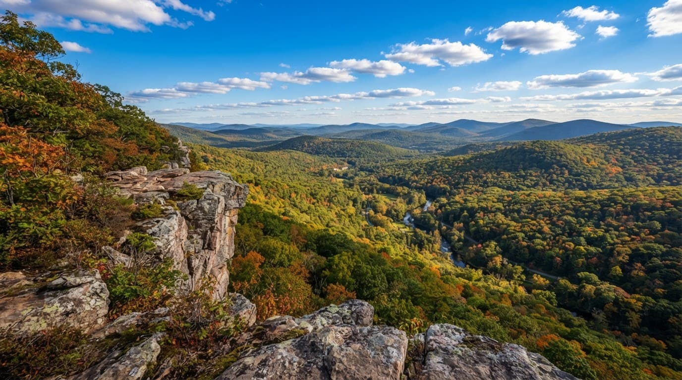
The exposed rock can get hot in summer. Bring more water than you think you need, wear sunscreen, and don’t drift too close to ledge edges for a photo.
Sleeping Giant is the better pick for a bigger hike
For a longer outing, Sleeping Giant State Park in Hamden is hard to beat. The route to the stone tower has more elevation gain than most short waterfall stops. It finishes with a sweeping view over New Haven County.
It doesn’t have a headline waterfall, which is exactly why it works best as an add-on. Hike Chapman Falls or Wadsworth Falls first, then use Sleeping Giant’s hiking trails for a trail loop on a cooler afternoon or clear fall morning.
If you enjoy building weekends around this mix of water and overlooks, the Maryland waterfall hikes with ridge views, the New Jersey waterfall hikes with ridge views, and the best hikes in Massachusetts for coastal views and waterfalls are all great next-trip ideas.
Plan Around Water Flow, Parking, and Slippery Rock
Spring is often best for Connecticut waterfall routes in Litchfield County, with water flow strengthened by rain and spring snowmelt. April and May usually bring full streams, cool hiking weather, and muddy trail edges. Mud can make short routes feel harder than their mileage and elevation gain suggest. The day after a soaking rain can also be fantastic, as long as there are no flood warnings or trail closures.
Summer is more complicated, because green woods can hide smaller falls that shrink after dry stretches. Fall brings better hiking temperatures and beautiful color. Around Granby and elsewhere in Hartford County, choose routes by recent conditions and elevation gain, not mileage alone. Winter is peaceful, but ice can turn short waterfall trails into sketchy outings. Icy approaches may require hiking boots with traction, and mileage alone won’t reveal the route’s elevation gain.
Parking is the other part people underestimate, especially on busy Litchfield County weekends. Arrive early at Kent Falls, Wadsworth Falls, or Devil’s Hopyard, and treat the covered bridge near Kent Falls as a landmark, not a roadside parking option. If the parking lot is full, don’t create your own space on a roadside shoulder or block an entrance. Choose a backup hike instead.
Check the trailhead sign, verify current hiking trails, and confirm the intended trail loop is open before setting out. A recent Connecticut waterfall trail discussion can flag Hartford County crowds, but park notices and posted closures have the final word.
Dogs are allowed in many Connecticut parks, usually on a leash, but rules can differ by park, season, and signed area. Don’t assume a route is dog friendly; check current leash and seasonal rules before leaving. Bring water, keep dogs back from steep drops, and don’t let them scramble around a waterfall’s base.
Pick the Trail That Fits Your Day
Kent Falls is the first choice for a classic cascade, limited elevation gain, and a western Litchfield County anchor. Wadsworth Falls suits short stops, while Chapman Falls offers a half-day forest walk with more elevation gain. Enders offers the most variety, while Talcott Mountain and Sleeping Giant bring the biggest ledge views and the most elevation gain.
Pair Kent Falls with the Housatonic River corridor in western Litchfield County, or add Talcott Mountain to a Hartford County itinerary. Start early, wear shoes with grip, and respect wet rock. Connecticut waterfall hikes are at their best when you slow down to enjoy each bend on a waterfall-to-ledge itinerary.
Frequently Asked Questions
Which Connecticut waterfall is the tallest?
Kent Falls, in Litchfield County, is considered Connecticut’s tallest waterfall, with a total height of about 250 feet. The water falls across several tiers, so the hike feels like a sequence of falls rather than one single plunge.
Are dogs allowed on Connecticut waterfall trails?
Dogs are welcome at many Connecticut parks when leashed and under control. Check the current park rules before driving over, since swimming areas, buildings, trails, and seasonal areas may have different restrictions.
Can you swim at Kent Falls State Park?
No. Swimming and entering the water aren’t allowed at Kent Falls. The current is stronger than it looks, and algae-covered rock around the falls becomes dangerously slick.
What footwear is best for waterfall hikes in Connecticut?
Wear trail runners or hiking shoes with solid tread. Supportive sneakers are fine for dry, easy routes. Lightweight hiking boots make more sense at Enders or wherever elevation gain and wet rock add difficulty.