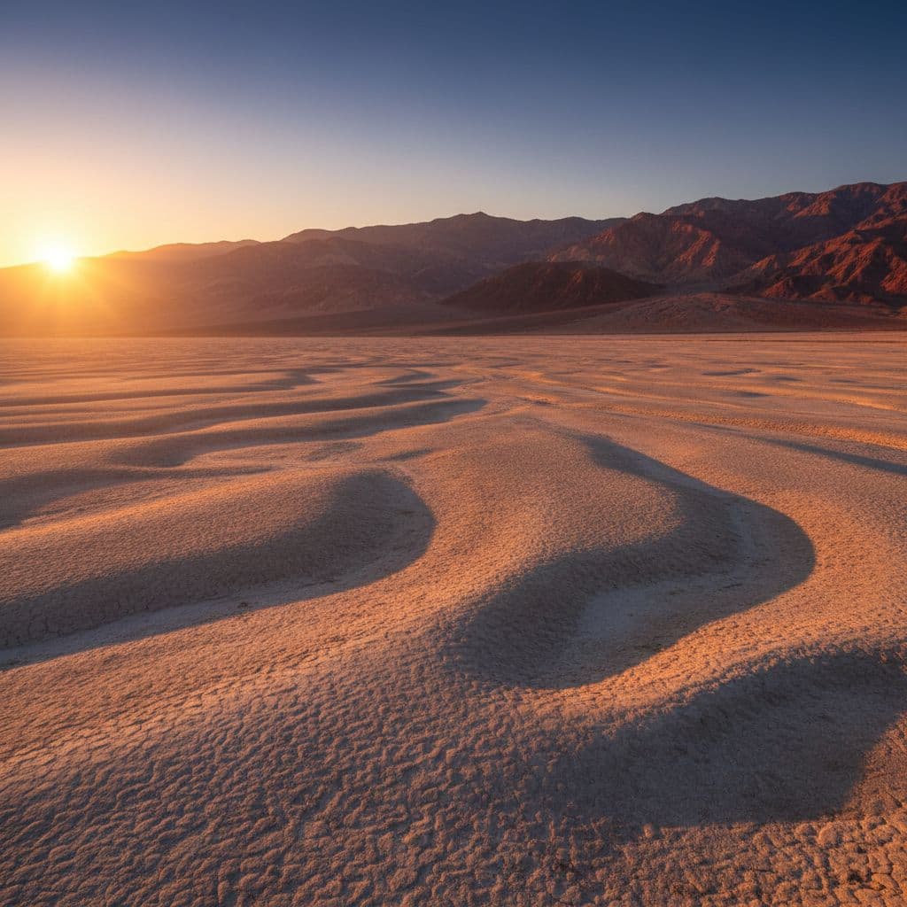
Death Valley is the largest national park in the lower 48, at 3.4 million acres, and the map shows it. A stop that looks close on paper can be a 30-to-45-minute drive. The trick to a first visit isn’t seeing everything; it’s picking one or two corners of the park to know well.
This guide lays out which areas to start with, which to save for a second trip, and which famous-name stops are currently inaccessible. The closures matter: Death Valley has had major flood events in recent years, and several big-ticket sites are still closed to the public.
Before you go
- Entrance fee: $30 per vehicle, valid for 7 days. The park is cashless
- Park size: 3.4 million acres, the largest national park in the contiguous United States
- Lowest point in North America: Badwater Basin at 282 feet below sea level
- Hottest temperature ever recorded on earth: 134°F at Furnace Creek in 1913 (some sources dispute the reading, but it’s the official NOAA record)
- Best season: October through April. Mid-summer regularly exceeds 120°F and is genuinely dangerous, not just uncomfortable
- Furnace Creek is the main visitor center and lodging hub. Stovepipe Wells is the secondary hub
- Cell service is unreliable to nonexistent in most of the park. Download maps before you go
Current closures (as of 2026)
A few famous-name sites you’ll see on older maps and guides are not currently accessible. Check the NPS conditions page before your trip, but as of mid-2026:
- Scotty’s Castle — closed indefinitely since the 2015 flood. No pedestrian access allowed. No reopening date
- Darwin Falls — the access road has been completely washed out in places and is closed, likely until at least summer 2027
- Titus Canyon Road — partially open in 2026 but closed October 1, 2026 through September 30, 2027 for phase-2 repairs
- Lower Wildrose Road — closed through summer 2027 from storm damage
- Emigrant Campground — closed indefinitely
This is why a first-trip plan that sticks to the Furnace Creek-to-Stovepipe-Wells corridor (Highway 190 and Badwater Road) is the safest, most rewarding way to see the park right now.
The best beginner areas on the map
These stops are clustered along the central park corridor, accessible to passenger cars, and short on driving relative to payoff.
| Area | What it is | Best for |
|---|---|---|
| Furnace Creek Visitor Center | Central hub with lodging, gas, food, real-time road updates | First stop on day one |
| Zabriskie Point | 5-minute walk from the parking lot to one of the iconic park overlooks | Sunrise or sunset light |
| Badwater Basin | The 282-ft-below-sea-level salt flats; level boardwalk and salt-polygon walking | Quick stop, salt flats experience |
| Artists Drive | 9-mile one-way scenic loop with colorful mineral hills; stop at Artists Palette | Drivers more than walkers |
| Mesquite Flat Sand Dunes | Drive-up access; walk as much or as little as you want | Sunrise, sunset, photos |
| Dantes View | Drive to 5,475 ft for a panoramic look at the valley below | Orientation, cooler air |
| Mosaic Canyon | Roughly 4-mile round-trip canyon walk near Stovepipe Wells | A first real hike |
Furnace Creek is the obvious base. Lodging (the Inn at Death Valley and the Ranch at Death Valley), gas, food, the visitor center, and a centrally located position near the biggest sights along Badwater Road. From there, the rest of the park works outward in lanes.
How to read the park map before you go
Death Valley is a road-trip park first, a hiking park second. The map gets easier when you stop thinking about individual attractions and start thinking in road corridors.
- Highway 190 — the east-west spine that connects Beatty/Death Valley Junction in the east through Furnace Creek and Stovepipe Wells to Panamint Springs in the west
- Badwater Road — heads south from Furnace Creek to Badwater Basin and Ashford Mill, with Artists Drive as a side loop
- Daylight Pass Road / Beatty Cutoff — connects Stovepipe Wells north to Beatty, Nevada
- Scotty’s Castle Road / North Highway — heads to Ubehebe Crater (Scotty’s Castle itself closed)
Similar Posts
- Hiking Guides | Lists | Travel
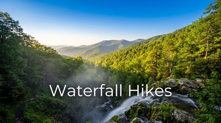
Best Hikes in Virginia for Waterfalls and Blue Views
If you are hunting for the best hikes virginia has to offer, the answer depends on what you want…
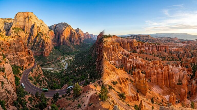
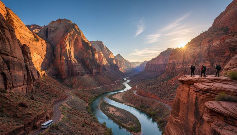
4-Day Zion and Bryce Itinerary I’d Give Any First-Timer (Low Stress, Big Views)
If you’ve got four days for a road trip and you want the best of southern Utah’s national parks,…
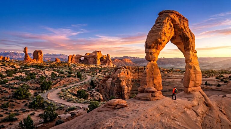
Arches National Park One-Day Hiking Plan for First-Timers (My Doable, No-Regrets Itinerary)
Only have one day for Arches National Park hiking near Moab Utah, one of Utah’s Mighty 5, and don’t…
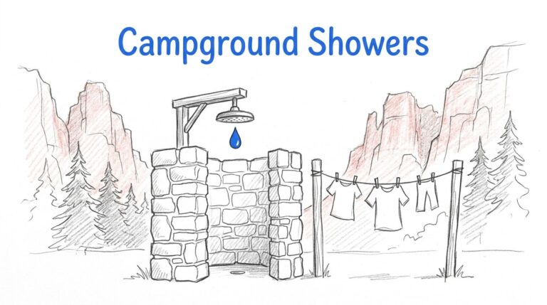
Zion Campground Showers and Laundry: What to Expect (and How I Plan Around It)
If you’re picturing a hot shower after a dusty hike in Zion National Park, I’ve got the quick reality…
- Hiking Guides | Lists | Travel
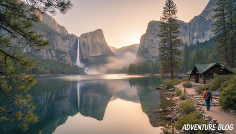
Hetch Hetchy Hiking Guide, Trail Options, Waterfall Timing, and What Surprises First-Time Visitors
If you want Yosemite National Park scenery without Yosemite Valley chaos, Hetch Hetchy hiking is my go-to move. You…
2-Day Zion National Park Itinerary (2026): My Best Plan for First-Timers
Only have two days in Zion and don’t want to waste a single hour circling for parking or standing…