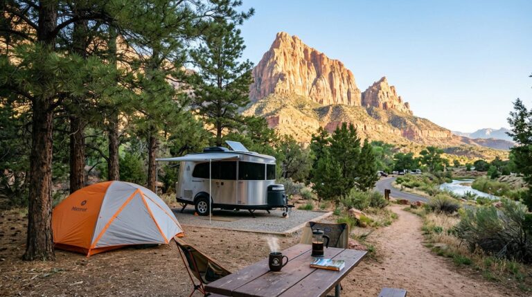
North Cascades is one of the most under-visited national parks in the country, and the geography is the main reason. The North Cascades Highway (State Route 20) is the only paved road across the park, and it closes for snow from late fall through mid-spring. Cell service is unreliable. Trailheads are scattered. A first visit goes much better with the map figured out before you leave.
The good news: there’s no entrance fee at North Cascades. The park is one of the few NPS units that’s free to enter year-round, which makes a turn-around-and-come-back-tomorrow decision a lot less painful.
Before you go
- Entrance fee: free. The park has no entrance station and no fee
- The “park” is actually three managed units under one complex: North Cascades National Park (the wilderness core), Ross Lake National Recreation Area (the SR-20 corridor most visitors see), and Lake Chelan National Recreation Area (the south end, including Stehekin)
- SR-20 closes seasonally to snow, typically mid-November through mid-April. WSDOT manages the closure and posts opening dates
- Park headquarters and the Wilderness Information Center are in Sedro-Woolley and Marblemount respectively. Visitor info also at the Skagit Information Center in Newhalem
- Cell service is spotty to nonexistent. Download maps before you leave Burlington or Marblemount
- Drive times from Seattle: about 2 to 2.5 hours to Marblemount, 3 to 3.5 hours to the Diablo Lake Overlook, longer to the east side
The two sides of the park
SR-20 runs east-west across the park complex and is the spine of any first visit. The road has two distinct sides with different vibes.
West side (Sedro-Woolley to Diablo)
This is the easier side for a first visit. Approach is from I-5 through Burlington and Sedro-Woolley, then east on SR-20. The major stops in driving order:
- Marblemount — last gas, food, and the Wilderness Information Center for permits
- Newhalem — small company town along the Skagit River; Skagit Information Center, a few short interpretive trails, and the Trail of the Cedars footbridge
- Gorge Creek Falls / Gorge Overlook — pull-off views of the Skagit River gorge and Gorge Dam
- Diablo Lake Overlook — the famous turquoise-water shot; the color is from glacial rock flour suspended in meltwater. It’s a parking-lot view; no hiking required
- Ross Lake Overlook — slightly farther east, less-visited counterpart to Diablo
East side (Washington Pass to Winthrop)
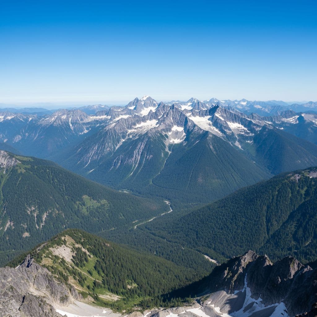
The east side is higher, drier, and more exposed than the west. Approach from the east (via Winthrop) means a 4-to-5-hour drive from Seattle. Major stops:
- Rainy Pass — easy access trailheads for Rainy Lake (1-mile paved walk, accessible) and Lake Ann/Maple Pass Loop (a 7-mile loop hike that is one of the best day hikes in the state)
- Washington Pass Overlook — short paved walk to a panorama of Liberty Bell and the Early Winters Spires
- Winthrop — small western-themed town that makes a good east-side base
The best stops by what they’re best for
| Stop | What it is | Effort |
|---|---|---|
| Diablo Lake Overlook | Iconic turquoise-water viewpoint from SR-20 | Park and walk a few steps |
| Trail of the Cedars (Newhalem) | Short interpretive loop through old growth | 0.3 mi loop |
| Rainy Lake | Paved, accessible trail to an alpine lake | 1 mi RT |
| Maple Pass Loop | One of the best day hikes in WA: alpine meadows, larches, ridge views | 7 mi loop, ~2,000 ft gain |
| Thunder Knob | Family-friendly viewpoint above Diablo Lake | 3.6 mi RT, ~635 ft gain |
| Cascade Pass | Classic high-country hike (gravel road in, can be rough) | 7.4 mi RT, ~1,800 ft gain |
| Sahale Arm (from Cascade Pass) | Continuing past Cascade Pass to a glacier overlook | ~12 mi RT, ~4,000 ft gain |
| Thornton Lakes | Subalpine lake basin off Thornton Creek Road | ~10.6 mi RT, ~2,500 ft gain |
Stehekin and Lake Chelan NRA
Stehekin is a small community at the upper end of Lake Chelan inside Lake Chelan National Recreation Area. There’s no road in. Access is by:
- Lake Chelan ferry (the Lady of the Lake) from Chelan, about 4 hours one-way
- Floatplane from Chelan
- On foot from the Cascade Pass area (multi-day backpacking trip)
If you’re planning a day trip into the park, skip Stehekin and stay on SR-20. If you want a quieter and stranger experience and have at least an overnight to commit, Stehekin is worth the ferry ride.
SR-20 closure: what to know
The North Cascades Highway closes for the winter every year. Typical pattern:
- Closure usually happens in mid-November to early December, depending on snow
- Reopening is typically mid-April to mid-May, depending on plow progress
- WSDOT maintains the gates; the closed section runs roughly from Ross Lake Trailhead (MP 134) east to Mazama (MP 178)
- Check the WSDOT SR-20 status page before any spring or fall trip
If SR-20 is closed when you’re visiting, the park’s west side (up to about Diablo) is still accessible from the I-5 side, but you can’t drive through to Winthrop.
A simple first-visit plan
Pick a side. For most first-timers coming from Seattle, the west side is the easier choice:
- Leave Seattle early to beat traffic out of the city
- Fill the tank in Burlington or Sedro-Woolley
- Stop at the Skagit Information Center in Newhalem for maps and current conditions
- Trail of the Cedars or a Newhalem area walk
- Drive to the Diablo Lake Overlook
- Optional add: Thunder Knob hike (3.6 mi RT) from the Colonial Creek area
- Return to Seattle, or continue east through Washington Pass and Rainy Pass if SR-20 is open
A longer trip lives in the North Cascades day-trip itinerary.
Map sources worth having
- The NPS brochure map (free PDF or paper at any visitor center) is the best overall park map
- An offline trail map app for turn-by-turn within the park (Gaia GPS, CalTopo, or AllTrails Plus all work)
- The WSDOT mountain pass report for SR-20 status
- A paper Washington state map or Benchmark atlas if you’re driving through to Winthrop, since gas-station spacing is thin between Marblemount and Mazama
Frequently asked questions
Is there an entrance fee for North Cascades National Park?
No. North Cascades is one of the few US national parks with no entrance fee. There’s no fee station, no day-use pass, no fee for visiting the SR-20 corridor stops. (You do need a Northwest Forest Pass or America the Beautiful pass for some adjacent USFS trailheads like Maple Pass.)
Is the North Cascades Highway open year-round?
No. SR-20 closes for winter, typically mid-November through mid-April, due to avalanche danger. WSDOT manages the gates and posts opening and closing dates. The west side of the park up to Diablo stays accessible from I-5 even when the high pass is closed.
What’s the best starting point for a first visit?
The west side, via Sedro-Woolley and Newhalem, then to the Diablo Lake Overlook. It’s about 2 to 3.5 hours from Seattle depending on traffic, and you can do it as a day trip if you leave early. The east side and Maple Pass area are worth the longer drive if you have an overnight.
Can I rely on my phone in the park?
Not really. Cell service is unreliable to nonexistent in most of the park. Download offline maps and turn-by-turn directions before you leave Marblemount.
How do I get to Stehekin?
By boat (the Lady of the Lake ferry from Chelan, about 4 hours), by floatplane, or by foot from the Cascade Pass area on a multi-day backpacking trip. There’s no road in.
What’s the most scenic short stop?
Diablo Lake Overlook is the famous one: a parking-lot view of glacier-melt turquoise water below jagged peaks, no hiking required. Washington Pass Overlook on the east side is the runner-up for short-effort scenery.