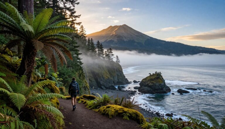
Planning Ice Age Trail day hikes is an excellent way to experience the diverse beauty of Wisconsin. This 1,200-mile Ice Age National Scenic Trail is not a path you simply knock out in a single weekend. Instead, it offers a vast network of trail segments that can keep you busy exploring for years, with the scenery changing constantly along the way.
One day might put you below quartzite bluffs at Devil’s Lake. Another might take you through the rolling kettles of Kettle Moraine or into a mature northern forest where the loudest thing around is a chickadee. The trick is picking the right segment for the kind of experience you want.
If you’re after hiking ideas beyond this one trail, my guide to the best hikes in Wisconsin covers waterfalls, lakes, and bluffs across the whole state.
Start with the Ice Age Trail Alliance’s trail resources, then use the options below to build a hike that fits your time, physical ability, and tolerance for crowds.
Key Takeaways
- Devil’s Lake State Park is the top pick for dramatic bluffs, scenic lake views, and a busier hiking trail experience in Wisconsin.
- Kettle Moraine State Forest offers the clearest look at glacial kettles, moraines, and rolling forested terrain throughout the region.
- Table Bluff and Whitewater are excellent options for shorter day hikes if you want to avoid the crowds found at more famous parks.
- Taylor County is the best destination for quiet forests, long views between the trees, and a slower, more peaceful day of hiking.
- Most segments are moderate, but keep in mind that steep climbs, exposed rock, mud, and poor cell service can increase the difficulty of your hike unexpectedly.
Start With the Kind of Scenery You Want
The Ice Age Trail follows the terminal moraine left by the Wisconsin Glaciation. That sounds like geology class material, but you can see the results under your boots.
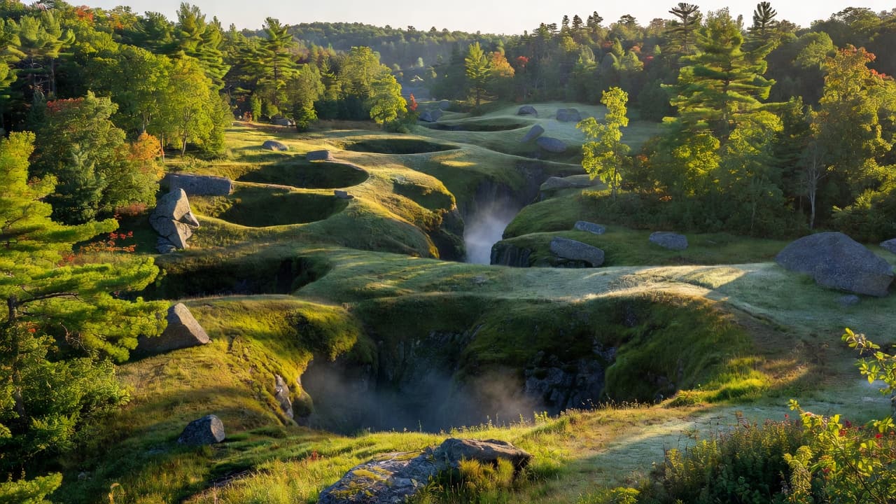
Glaciers pushed and dropped huge amounts of rock, sand, and soil across Wisconsin. When the ice retreated, it left behind hills, depressions, ridges, lakes, eskers, and oddly shaped valleys. These glacial features are the reason one segment feels nothing like the next.
For the biggest visual payoff, choose bluffs. For unusual terrain without a major climb, choose kettles and kames. If you are after peace and space, head north into the forest.
The trail is marked with yellow blazes, but not every day hike follows a simple loop. Many sections are linear, and some involve connecting routes, shared park trails, or occasional road walks between segments. That matters more than the mileage on the page. A five-mile out-and-back is easy to plan. A five-mile point-to-point hike can become a transportation problem.
Best Ice Age Trail Hikes for Bluffs
Devil’s Lake State Park
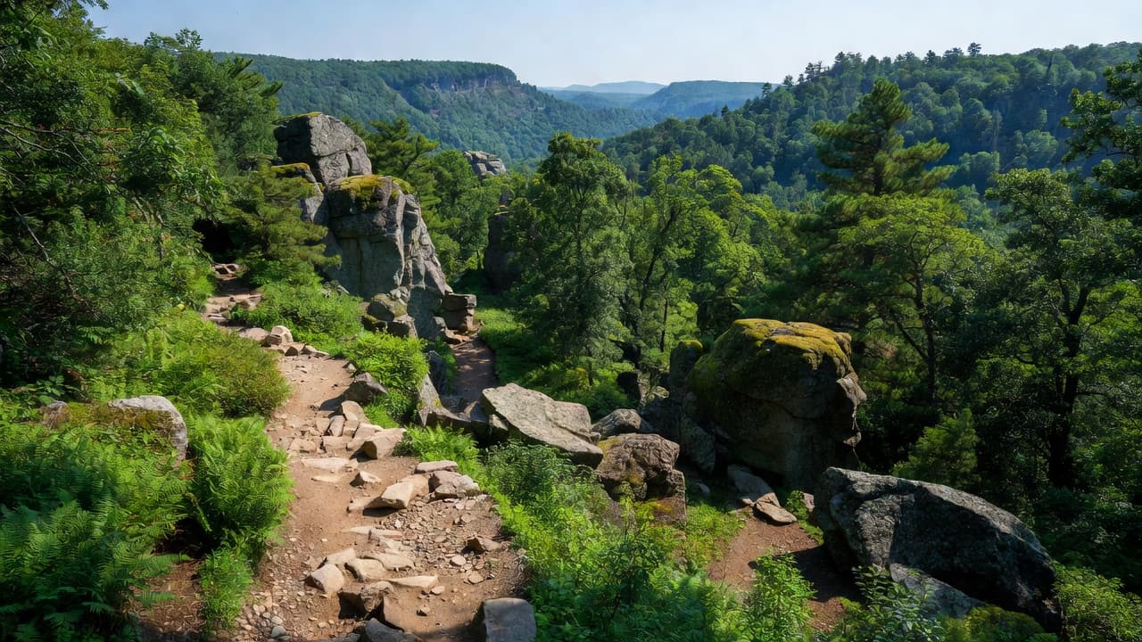
If you want the hike that looks most like a postcard, start at Devil’s Lake State Park. The Ice Age Trail passes through the Baraboo Range, where quartzite bluffs rise above the lake and create some of the most dramatic scenery on the entire route.
This isn’t a flat lakeside stroll. Expect stone steps, rocky footing, elevation changes, and sections where you will work for the view. The effort stays reasonable for most hikers who pace themselves, but the climbs can feel sharp if you are used to paved city trails. Among the various state parks in the region, this location provides perhaps the most iconic experience.
The payoff is excellent. You get high views over Devil’s Lake, long ridgelines, exposed rock, and forested sections that cool things down between climbs. On a clear day, the contrast between blue water, pale rock, and green forest is hard to beat.
Devil’s Lake is also one of the busiest places connected to the Ice Age Trail. Parking fills early on summer weekends, and popular overlooks can feel crowded by late morning. I recommend arriving early, especially if you want to park near your chosen trailhead and hike before the heat builds.
Keep in mind that the park has its own network of trails, and some of the best combinations use both Ice Age Trail sections and connecting park paths. Check the current park map before you start so you know which bluffs, overlooks, and lake access points belong in your route.
Table Bluff Segment
For a smaller bluff hike with a quieter feel, look at the Table Bluff Segment west of Madison. If you are looking for outdoor Madison day trips that get you out of the city and into nature, this is a fantastic option. The segment is about 2.5 miles one way, making it roughly a five-mile out-and-back if you hike the full section.
That distance is a sweet spot. You get a real half-day hike without committing to a full weekend effort, and the linear layout makes the turnaround simple. The trail moves through woodland and bluff country, with enough elevation change to feel like a hike rather than a casual walk. As one of the most scenic trail segments in the area, it offers a nice escape from the busier paths found elsewhere.
The Table Bluff segment field notes are useful when you are checking the route before driving out. Read the access details carefully, since point-to-point trail sections do not always have obvious parking at both ends.
Table Bluff won’t deliver the towering lake views of Devil’s Lake. That is not a criticism. If your ideal day includes a peaceful trail, moderate mileage, and fewer people competing for the same overlook, it may be the better choice.
The best bluff hike isn’t always the tallest one. Sometimes it’s the segment you can reach early, hike comfortably, and enjoy without rushing.
Explore the Kettles of Kettle Moraine
Kettle Moraine State Forest is the premier destination to see the Ice Age Trail’s glacial landforms up close. As one of the most prominent state forests in Wisconsin, this region features retreating ice that left behind rounded hills, deep depressions, gravelly ridges, and scattered lakes. The result is a landscape that feels constantly folded and rearranged.
The Southern Unit includes about 30 miles of Ice Age Trail, making it one of the easiest places to build a day hike around several route options. The Southern Unit hiking page from Wisconsin’s DNR has current information on trails, access, and park conditions.
Blackhawk Segment
The Blackhawk Segment is one of my favorite choices when the goal is forest and glacial scenery rather than a single famous viewpoint. The trail rolls through woods, climbs and drops over glacial hills, and gives you the satisfying feeling of moving through real terrain without needing a huge mileage goal.
This is a good option for beginners who want to try a moderate hiking trail on the Ice Age Trail system. The climbs are noticeable, but you can control the day by choosing an out-and-back distance instead of forcing a long route.
The terrain can be rooty, muddy, or slippery after rain. Wear shoes with real grip, even if the weather looks harmless at the trailhead. Wisconsin’s wooded trails often hold moisture longer than expected.
Lapham Peak
Near Delafield, the Lapham Peak area offers a manageable loop with views, forest, and a little extra elevation. A route through Kettle View is about five kilometers and takes roughly an hour and 20 minutes for many hikers, though photo stops and steep sections can stretch that time.
Lapham Peak works well when you want a short hike before lunch, a quick outing near Milwaukee, or a route that does not require an all-day commitment. It also makes a practical introduction to the rolling terrain found throughout Kettle Moraine State Forest.
Do not expect a mountain summit. The charm is in the steady change of grade, the layered forest, and the way glacial terrain keeps the trail from feeling flat.
Whitewater Segment
The Whitewater area adds another interesting landform, an esker. An esker is a winding ridge of sand and gravel formed by a river flowing beneath glacial ice. You do not need to memorize that definition to appreciate the hike, though. You will notice the trail feels higher, narrower, and more naturally ridged than a typical woodland path.
The Whitewater and Blue Spring Lake area gives you several ways to build a day around the trail. Use an out-and-back if you do not have a second vehicle, and download your map before leaving home. Cell service can be inconsistent around forest roads and trailheads.
Quiet Forest Day Hikes in Northern Wisconsin
The southern segments of the Ice Age Trail often receive more attention because they sit closer to Madison and Milwaukee. If you prefer fewer crowds and a slower pace, head north toward Taylor County and the Chequamegon-Nicolet National Forest to experience the serene Northwoods.
The Ice Age Trail passes through mature forest in this part of Wisconsin, with long stretches that feel far removed from busy roads and crowded overlooks. While the scenery is less dramatic than the cliffs of Devil’s Lake, the profound quiet of the Northwoods becomes the main attraction.
Timm’s Hill and the surrounding Taylor County sections are excellent choices for hikers who enjoy forest texture, rolling grades, and long stretches without a major destination every mile. You may see pristine lakes, wetlands, diverse wildlife, and changing forest types, though the trail does not provide a scenic overlook at every turn.
That can be a significant benefit. You walk, settle into a comfortable rhythm, and stop checking your progress toward the next photo spot. Because this region offers a more rugged experience, these segments are perfect for those interested in multi-day backpacking trips or finding spots for dispersed camping in the deep woods.
There are several access points near Medford, including the Highway 64 trailhead, Jerry Lake trailhead, and Highway E trailhead. These are not typical city-park locations with every convenience nearby. Roads can be slow, parking may be limited, and carrying a paper map or a reliable offline digital map is a smart safety precaution.
Plan a shorter out-and-back route if you are new to the area. Northern trail sections can take longer than expected when the footing is wet, the route is remote, or you simply choose to stop and study the quiet beauty of the surrounding Northwoods.
How to Plan Your Ice Age Trail Day Hike
Most beginners should start with a three to six mile out and back route. That gives you enough distance to experience the landscape without creating a complicated shuttle or an exhausting first outing. To ensure your trip goes smoothly, use the Ice Age Trail Atlas and the Ice Age Trail Guidebook as your primary resources. You should also download the latest segment maps directly from the Ice Age Trail Alliance website to keep on your phone.
Check these details before you leave:
- Confirm the trailhead and parking area, not only the segment name. Always check local Wisconsin state forest rules regarding parking permits and site-specific regulations.
- Save your digital segment maps for offline use and keep a copy of your driving directions handy.
- Check state forest, state park, and trail alerts for seasonal closures or maintenance updates.
- Bring water, snacks, sunscreen, a light rain shell, and a small first aid kit.
- Wear shoes with reliable traction. Sneakers work on dry and easy sections, but muddy hills and loose rock call for something sturdier.
- Tell someone where you are hiking, especially when exploring remote northern forest sections.
Spring can bring mud and swollen streams. Summer offers the longest days, but exposed bluff hikes can become quite hot. Fall is excellent for foliage and cooler temperatures, while winter adds snow and ice that may require traction devices for your boots.
Do not treat a moderate rating as a promise that the trail will feel easy. A short route with steep grades and wet roots can be significantly more challenging than a longer, gently rolling hike.
Ice Age Trail Day Hikes FAQs
How long is the Ice Age Trail?
The Ice Age National Scenic Trail runs for roughly 1,200 miles across Wisconsin. It stretches between Interstate State Park near St. Croix Falls and Potawatomi State Park near Sturgeon Bay.
You do not need to think about the whole distance when planning a day hike. The route is divided into segments, so you can choose a short out and back path or connect several sections with a shuttle.
Are Ice Age Trail hikes good for beginners?
Yes, as long as you choose the right segment. Lapham Peak, Table Bluff, and shorter sections in the Kettle Moraine area are approachable starting points for those new to the trail. Keep in mind that multi-day backpacking trips are a significant step up from day hiking, so it is best to build your stamina on shorter stretches first.
Devil’s Lake is also manageable for beginners, but its rocky climbs and stairs require more effort. Start early, take breaks, and turn around before tired legs make the descent difficult. As you explore, remember that the trail is maintained by dedicated volunteers and trail angels, so please practice Leave No Trace principles to help them keep the path in great shape.
What is the best Ice Age Trail hike for glacial features?
Kettle Moraine is the strongest choice for kettles, moraines, rolling hills, and other glacial landforms. Devil’s Lake is better for bluffs and dramatic views.
If you want to see both styles during one trip, build a weekend around the Southern Unit and Devil’s Lake, but do not try to cram both into one rushed day.
Do I need a permit or reservation?
Requirements depend on the land manager and trailhead. Some state parks and forests may charge vehicle admission or require a daily pass, while access rules can vary by location.
Check the current information for the specific park or forest before you drive. Trail conditions and parking rules can change with the season, and checking local updates is a great way to respect the work of the volunteers who manage these spaces.
Conclusion
The best Ice Age Trail day hikes in Wisconsin offer something for everyone, whether you are seeking the towering bluffs at Devil’s Lake, the rugged kettles of the Kettle Moraine, or the serene, quiet forests of Taylor County. Start by identifying the landscape you want to explore, then select a route that aligns with your available time and experience level.
A moderate out-and-back trek, comfortable footwear, reliable offline maps, and an early start are all you need for a successful outing. You do not need to tackle the longest segments to have an incredible experience. If you are looking for extra motivation to discover new sections of the trail, consider joining the Mammoth Challenge. As you enjoy these paths, remember that every mile is maintained by the hard work of dedicated volunteers who focus on essential trail building and preservation. On this beautiful trail, even a shorter hike through a unique glacial landscape can easily become the highlight of your year.