An Acadia National Park map shows the park looking compact, but first-timers can still waste hours zigzagging between the wrong areas. The better move is to skip the “see it all” plan and pick the few zones that give the biggest return for the least driving, parking stress, and trail confusion.
That approach matters even more for beginners, because Acadia has easy postcard wins and a few spots that look simple on paper but eat up time fast. Focus on the right clusters first, and the park starts to feel friendly instead of scattered. For a full day-by-day plan once you know the layout, the Acadia National Park itinerary picks up where this map guide leaves off.
Key takeaways
- Start with Mount Desert Island, where the best-known stops sit close together.
- The strongest first pins are Cadillac Mountain, Sand Beach with Ocean Path, and Jordan Pond.
- Save Schoodic Peninsula for a second day, or for when you want fewer crowds.
- Check seasonal road and shuttle dates before you go, because access changes the plan.
Start with Mount Desert Island, then zoom in
An Acadia National Park map breaks into three main buckets: Mount Desert Island, Schoodic Peninsula, and Isle au Haut. For a first trip, Mount Desert Island wins easily because the best-known views sit close together. You can stack coast, pond, and summit scenery without turning the day into a driving tour.
A good starting point is the official park maps, then the Acadia hiking page for trail ideas. That gives you the big picture first, then the hiking detail.
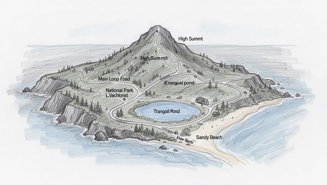
Most of the highlights connect through the 27-mile Park Loop Road, which is largely one-way and threads past the coast, the ponds, and the turnoff up Cadillac Mountain. Learn that road first, and the rest of the island falls into place around it.
The simple rule: learn the main island first, then branch out.
The three areas to circle first on the map
Cadillac Mountain for the quickest big-picture view
Cadillac Mountain is a strong first pin because it helps the whole park make sense fast. At 1,530 feet, it is the highest point on the U.S. East Coast, and from up high the islands, coves, and road layout finally click. It is the easiest way to read the map in three dimensions before you start driving it.
The catch is access. To drive the 3.5-mile Cadillac Summit Road from May 20 through October 25, 2026, you need a timed-entry vehicle reservation booked in advance through Recreation.gov, which costs $6 on top of your park entrance pass. When the summit road is open and you have a reservation, this is one of the easiest high-payoff stops in Acadia. Outside that window, or without a reservation, treat it as a bonus rather than the backbone of the trip.
Sand Beach and Ocean Path for easy coastal payoff
For beginners, this is the most reliable area on the whole map. Sand Beach is easy to find, and Ocean Path delivers fast views without much route-finding. You get cliffs, crashing surf, and famous stops like Thunder Hole and Otter Cliff, all on a flexible walk along Ocean Drive.
That is why this corridor beats gambling on a harder summit trail for a first outing. On a tight schedule, the Acadia two-day hiking itinerary leans on the same stretch, because it gives a lot of scenery per mile.
Timing matters, though. In peak season, parking gets ugly by mid-morning. Go early, then move inland before the busiest hours.
Jordan Pond for the calm-water classic
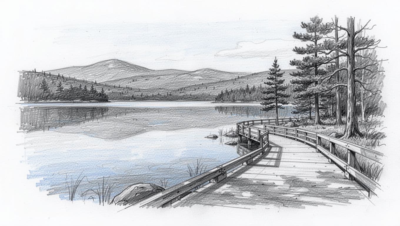
Jordan Pond is the opposite of the coast, and that contrast is the appeal. After the surf and cliffs, the pond feels calm, polished, and almost too pretty to be real. On the map, it also sits in a sweet central zone that connects well with other classic stops.
The shoreline loop is one of the best beginner options in the park. For the full breakdown, the guide to the Jordan Pond Path loop trail covers the footing, direction, and the South Bubble add-on.
If you want one more easy landmark, Bass Harbor Head Light sits at the quiet southwest tip of the island. It is a short stop rather than a hike, and it pairs well with a slower afternoon on that side of Mount Desert Island.
What to save for later
Schoodic Peninsula is beautiful, quieter, and absolutely worth seeing. Even so, it works better as a second-day trip unless you have a special reason to go there first. It sits apart from the main Mount Desert Island cluster on the mainland, so it pays off most once you have already hit the core highlights.
Isle au Haut is better suited to a longer trip. It is a separate island unit reached by ferry, and that timing reshapes the whole day, which is not the kind of complexity worth taking on during a first visit.
The same goes for cliff routes like Precipice or Beehive. They look tempting on the map, but for beginners they are not the smart first move. Low-stress wins come first, then harder trails once the park feels familiar. If that sounds like your style, this roundup of easy national park hikes for beginners follows the same logic. The map approach also carries over to other parks, including this Shenandoah National Park map guide.
Before you go
A few logistics make the map plan easier to pull off:
- A standard private-vehicle entrance pass is $35 and is valid for seven days. Acadia is a cashless park, so bring a card or buy your pass online ahead of time.
- The 27-mile Park Loop Road is the spine of Mount Desert Island and runs mostly one-way, so plan your stops in the direction of travel.
- Driving Cadillac Summit Road needs a separate $6 timed-entry vehicle reservation from May 20 through October 25, 2026, booked in advance on Recreation.gov. It is not sold at the gate.
- The fare-free Island Explorer shuttle runs from late June through mid-October and connects Bar Harbor with many trailheads, which helps you skip the worst parking. It does not serve the Cadillac summit.
- Bar Harbor is the gateway town for food, lodging, and the Hulls Cove Visitor Center. Driving from Boston takes roughly five hours.
- Always check current conditions before you go, since road work and seasonal closures can change which areas are open.
A good Acadia plan is not about covering the whole map. It is about grouping the right places and letting the park come into focus one zone at a time. Put Mount Desert Island first, build around Cadillac, Ocean Path, and Jordan Pond when access is open, start earlier than feels necessary, and keep your map simple.
Acadia National Park map FAQs
What part of Acadia should I visit first?
Start with Mount Desert Island. It holds the park’s best-known highlights, and the stops connect well for beginners along the Park Loop Road.
Is Schoodic Peninsula better than Park Loop Road for a first trip?
Not for most people. Schoodic is great, but the Park Loop Road and the main island give you more classic Acadia scenery faster on a first visit.
Is Jordan Pond a good first stop?
Yes. It is one of the easiest scenic areas to enjoy, especially if you want a beginner-friendly walk, and it sits centrally on the map near other top stops.
Do I need a reservation to drive up Cadillac Mountain?
Yes, during the busy season. A $6 timed-entry vehicle reservation is required to drive Cadillac Summit Road from May 20 through October 25, 2026, and it must be booked in advance on Recreation.gov. You still need a park entrance pass on top of it.