For your first visit, I’d pair Lost Valley with Steel Creek, then add a trail in the central river area if you have another day. These hikes in the Buffalo National River area give you waterfalls, dramatic bluffs, and time beside the water without committing to a punishing climb.
The important distinction is river views versus river access. A trail above the Buffalo doesn’t necessarily reach a gravel bar, and a short overlook can still have dangerous drop-offs.
Start by choosing your base area, then build your hiking days around it.
Key Takeaways
- Choose Ponca and Steel Creek for upper-river bluffs, Lost Valley, and nearby Whitaker Point.
- Pick Tyler Bend and Gilbert for shorter walks and simpler mixed-age outings.
- Treat river crossings, exposed ledges, and return climbs as separate challenges from mileage.
- Visit in spring for waterfalls or during leaf-off months for clearer bluff views.
Choose Your Base Before Choosing Your Trails
Buffalo National River follows a long, winding river corridor. Driving between hiking areas takes time, so I recommend staying near your main objective.
For Lost Valley, Steel Creek, and the Ponca Wilderness, look for lodging around Ponca or Jasper. For Tyler Bend and Gilbert, base yourself nearer those central-river communities. If you’re combining hiking with floating, keep your overnight base near your river departure area.
The wilderness names matter, too. Ponca Wilderness covers 11,300 acres, including Hemmed-In-Hollow Falls, the Goat Trail to Big Bluff, and Granny Henderson’s Cabin.
Upper Buffalo Wilderness is a different area in the Ozark National Forest region. It covers 13,294 acres, with about 81 percent managed within Ozark-St. Francis National Forest. Whitaker Point belongs to this broader upper-river outing, rather than being a Buffalo National River park trail.
For a first weekend, one upper-river day and one central-river day is plenty. You’ll spend more time walking and less time moving the car.
Buffalo River Trail Hikes With Bluff Views
Ponca to Steel Creek
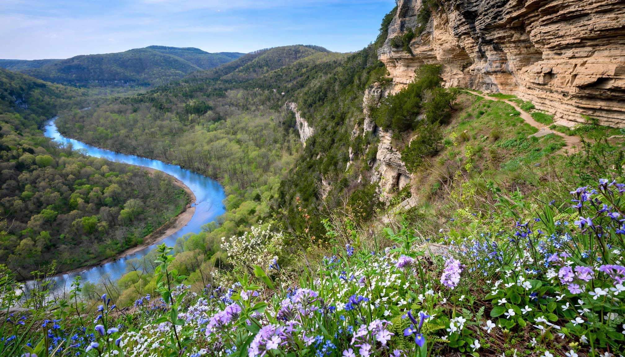
Komoot’s mapped outing is 4.1 miles (6.7 km), moderate difficulty, with 695 feet of elevation gain and about two hours of walking. It starts at the Ponca low water bridge.
Expect wooded slopes, bluff scenery, spring wildflowers, and seasonal water features. Steel Creek adds the impressive Roark Bluff backdrop and a riverside destination.
Keep in mind that shorter listings describe different segments or endpoints. The 4.1-mile figure isn’t a universal one-way distance. With children, allow extra time and keep your turnaround conservative.
Dillard’s Ferry to Spring Creek
The Dillards Ferry to Spring Creek section is a moderate 5.7 miles (9.2 km), with 1,054 feet of elevation gain. Komoot estimates two hours and 46 minutes.
Start at Dillard’s Ferry near AR-14 for the route toward Spring Creek. It’s a longer woodland-and-river outing, better suited to hikers comfortable with sustained climbs.
The NPS river access directory identifies these endpoints. A point-to-point trip needs transportation at both ends; walking back adds substantial mileage.
Woolum to Highway 65
At 15 miles, this strenuous section takes about nine to 10 hours. It starts at Woolum, includes a river ford, and connects with the Ozark Highlands Trail.
I’d leave this one for experienced hikers with transportation arranged and enough daylight. The crossing makes it a poor beginner choice, even when the mileage sounds manageable.
Families should choose a shorter trail without a required ford.
Shorter Buffalo National River Hikes for Mixed-Age Groups
These four family-friendly hikes keep the commitment lower. Their surfaces still deserve attention, especially after rain.
River View Trail at Tyler Bend
Starting at the visitor center, River View Trail is 1.4 miles, easy to moderate, with one to two hours allowed.
This is my first recommendation for a relaxed central-river outing. You get river views without a full-day commitment.
For older hikers, the distance is appealing, but roots and uneven footing still matter. It’s a walking trail, not an automatic wheelchair-friendly option.
Overlook Trail Loop
Komoot’s Buffalo Point-area Overlook Trail Loop is an easy loop trail, 1.3 miles (2.2 km), with 221 feet of elevation gain. Its estimated walking time is 38 minutes.
Use the Buffalo Point overlook trail access for this mapped outing. Allow closer to an hour for a relaxed visit.
It’s a useful short-loop choice for families, provided children stay well away from exposed edges.
Gilbert Railroad Trail
Gilbert Railroad Trail is 3.4 miles, usually taking two to three hours. Begin at the trail access in Gilbert.
The mostly flat former railroad corridor includes remnants of old railroad pilings. It offers gentler walking than the bluff-climbing routes.
Summer vegetation can become overgrown, so long pants and tick protection help. For beginners or older hikers, an out-and-back turnaround keeps the distance flexible.
Buck Ridge/Rock Wall Trail
This 2.6-mile, moderate outing starts at Tyler Bend Amphitheater and takes about two hours.
Choose it when your group wants more woodland walking than a quick overlook provides. Historic rock walls add interest along the way.
It’s a reasonable step up for families already comfortable hiking a couple of miles. I’d choose River View first for anyone uncertain about stamina.
Lost Valley and Whitaker Point: Two Different Payoffs
Lost Valley Trail for Waterfalls and Cliffs
Lost Valley is roughly 2.3 miles round trip, with moderate terrain farther along. Allow about two hours from the Lost Valley trailhead near Ponca.
The beginning is comparatively flat and follows the creek. Farther in, cliff walls, caves, and Eden Falls give the walk plenty of variety.
This is the hike I’d recommend when your group wants several scenic features without an all-day outing. However, the upper sections become rockier and steeper. Families carrying toddlers can enjoy the lower trail and turn around before footing becomes awkward.
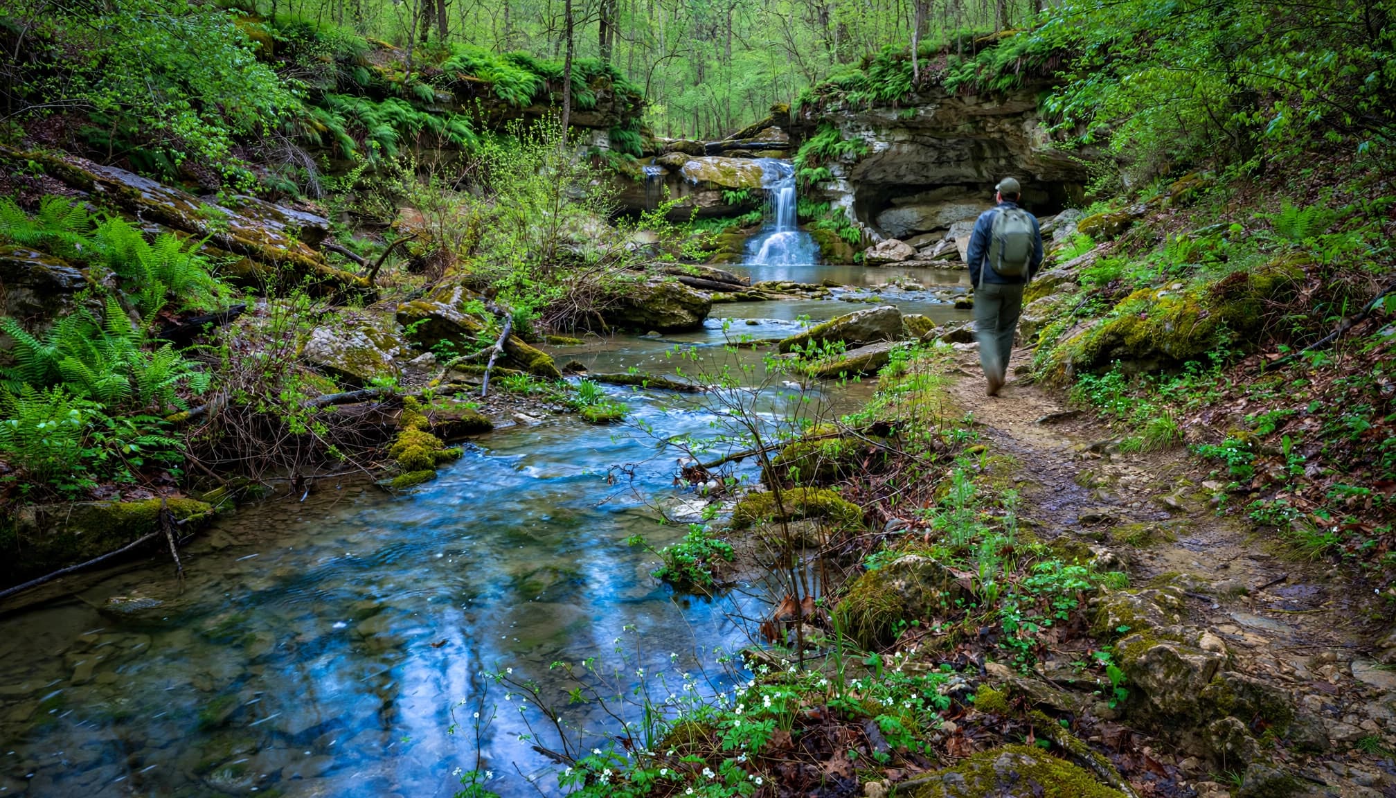
Wet rock and mud can be slick. For more waterfall-focused options nearby, my Arkansas waterfall hiking guide compares the different scenery and effort levels.
Whitaker Point for the Classic Bluff View
Whitaker Point, also called Hawksbill Crag, is a 3-mile round trip from the Hawksbill Crag trailhead in Upper Buffalo Wilderness. Allow roughly two to three hours for this moderate hike.
The payoff is an exposed rock overlook above a wooded valley. This is a bluff-view excursion, not a river-access hike.
Go early for a calmer outing, especially on weekends. Leaf-off conditions open up more of the surrounding terrain.
I wouldn’t choose the projecting crag for toddlers or anyone uncomfortable with heights. You can appreciate the scenery without stepping onto the exposed tip.
Maps, Seasons, and River Safety
Carry a Map That Matches Your Route
Among Tim Ernst hiking books, Buffalo River Hiking Trails is a useful trail-by-trail companion. Ken Smith’s Buffalo River Handbook is the deeper reference for river history and trip planning. Trails Illustrated map #232 covers the upper-river area.
The Buffalo River Trail’s first completed section runs about 36.5 miles between Boxley and Pruitt. A separate downriver corridor covers roughly 43 miles between Richland Valley and AR-14 at Dillard’s Ferry, but shouldn’t be treated as a continuous finished route.
Save your route offline and carry a paper trail map. Cell service is unreliable, and the NPS hiking safety guidance recommends leaving your itinerary with someone responsible.
Match the Season to Your Scenery
For waterfalls, I’d favor March through May. For clearer bluff views, choose leaf-off conditions in late fall or winter, as long as ice isn’t an issue.
Summer brings humidity, ticks, and heavier vegetation. Start early and carry water rather than relying on untreated creeks.
Old River Trail crosses the Buffalo repeatedly. Rising water can make those crossings dangerous, and paddling gauge categories aren’t permission to wade. The NPS river-level guidance explains how flow affects river travel.
A trail can be easy on dry ground and unsuitable when its required river crossing is running high.
Wear shoes with reliable grip, bring a headlamp, and leave room for delays. At busy trailheads, arrive early and use designated parking without blocking access.
Frequently Asked Questions
Which Hikes Are Best With a Toddler?
I’d start with the lower portion of Lost Valley or a shortened Gilbert Railroad Trail walk. Both let you turn around before the outing becomes too demanding.
A carrier adds weight and changes your balance. Avoid exposed bluff ledges, narrow routes such as the Goat Trail, and required river crossings. Easy mileage doesn’t cancel those hazards.
Which Trails Suit Older Hikers or Limited Mobility?
River View Trail and a short Gilbert Railroad Trail outing are sensible starting points for hikers who want manageable distances.
Neither should be assumed wheelchair-accessible. Roots, uneven ground, grades, and seasonal vegetation affect the experience. Choose based on footing and balance as well as total mileage.
Should Beginners Add Big Bluff or Hemmed-In-Hollow?
I’d save them for a later visit. The Goat Trail to Big Bluff has exposed terrain, while Hemmed-In-Hollow is about 5.2 miles round trip from Compton with a demanding return climb.
Both deserve more preparation than a casual first-day hike. Hemmed-In-Hollow’s waterfall is impressive, but the climb out is the deciding factor.
Where Can Families See Wildlife?
Boxley Valley near Ponca is the main area associated with the reintroduced elk herd. Sightings are possible rather than guaranteed.
Watch from a safe distance, use designated pullouts, and don’t approach elk for photographs. On trails, birds and smaller woodland animals can provide plenty of interest, too.
Build Your Trip Around One Good Hiking Area
The most rewarding Buffalo National River hikes don’t require filling every hour. Pair a manageable trail with a riverside stop, and you’ll experience both the bluffs and the water.
I’d begin with Lost Valley and Steel Creek, then add one of the central-river trails covered in this guide if your group wants more. Keep crossings and exposed ledges out of a beginner itinerary, and leave yourself time to enjoy where you are.