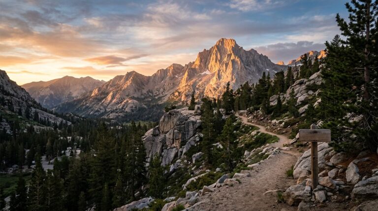
Open a Bryce Canyon map and try to do the whole park at once, and you’ll burn time fast. The simpler approach is to start with the Bryce Amphitheater, because that’s where the park gives you the biggest payoff with the least driving.
That matters even more for beginners. Bryce looks small on paper, but elevation and weather can change your day in a hurry. The rim sits between 8,000 and 9,100 feet, so it runs cooler than Zion, and snow and ice can linger on trails well into spring.
Key takeaways
- Focus on the Bryce Amphitheater before anything else, since it holds the park’s most famous viewpoints.
- Pick one below-the-rim hike, usually Queen’s Garden first.
- Save the southern scenic drive for extra time, not your first priority.
- Check same-day trail conditions before committing to steep descents.
Start with the Bryce Amphitheater for the best first look
On a Bryce Canyon map, the cluster around Sunrise Point, Sunset Point, Inspiration Point, and Bryce Point is the park’s sweet spot. That section gives you the famous hoodoo views, short rim walks, and easy trail access without bouncing all over the road system. Bryce holds the largest concentration of hoodoos found anywhere on Earth, and almost all of them sit right here in the amphitheater.
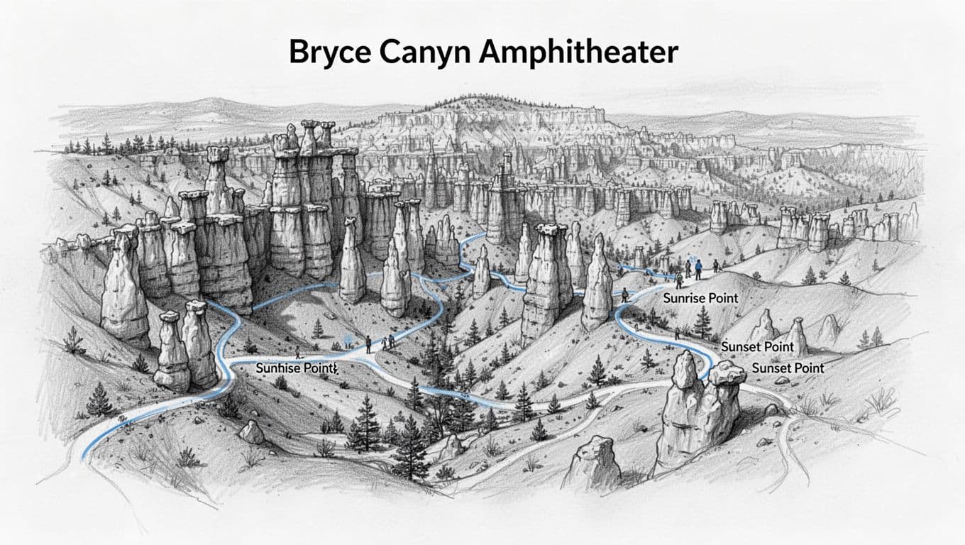
With only half a day, there’s no reason to leave this zone. It’s the part of the map where Bryce feels most like Bryce. The viewpoints are close together, the Rim Trail is easy to follow between Sunrise and Sunset Points, and the views change quickly enough that short walks still feel worth it.
This area also gives beginners options. You can stay high on the rim if the weather turns, or drop below the rim if the trail looks safe. That flexibility matters in spring, when trails can still hold snow, ice, and mud while the main amphitheater viewpoints stay the most reliable.
The NPS day hike page is the official resource to match trail options to current conditions. For a tight visit, the one-day Bryce Canyon sunrise hike works as a simple pacing guide.
The map can tempt you into chasing every named viewpoint, but for a first visit, time in the amphitheater beats time in the car.
Use the Bryce Canyon map to pick one below-the-rim hike
Most first-timers don’t need three trails. They need one good one.
Queen’s Garden is the usual first pick. On a Bryce Canyon map it stands out because it’s central, straightforward, and connected to the core viewpoints. The trail runs about 1.8 miles from Sunrise Point, and the NPS calls it the least difficult route that descends from the rim into the amphitheater. It gives you that walk-among-the-hoodoos feeling without forcing a long or confusing route.
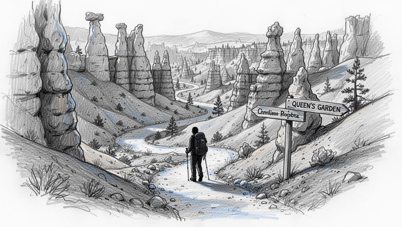
The 1.3-mile Navajo Loop from Sunset Point is the more dramatic partner, with switchbacks past Thor’s Hammer and the towering walls of Wall Street. It’s steeper, though, and in spring it can be icy, muddy, or partly closed. The Wall Street side shuts down in winter, leaving Two Bridges as the open option. The map may show a neat little loop, but the climb out feels longer than it looks at this elevation.
Linking the two creates the Queen’s/Navajo Combination Loop, a roughly 2.9-mile route that the park names as its most popular hike and the one it most recommends to first-time visitors. The standard direction is to descend Queen’s Garden at Sunrise Point, climb the Navajo Loop to Sunset Point, then close the loop along the Rim Trail.
For beginners, the smarter call is to choose based on trail surface first, not trail fame. If Queen’s Garden is in better shape, hike that. If the Navajo connection is open and safe, link them. If steep switchbacks look slick, stay on the rim and call it a win. Bryce is not the place to force a sketchy descent for bragging rights.
For a trail breakdown before you go, the official Queen’s Garden trail page covers route length and what to expect. Same-day park conditions still matter more than any static map, but a little prep helps.
Save the southern scenic drive for later, not first
The southern half of the park looks tempting on the map. The main road runs 18 miles one-way from the entrance to Rainbow Point, with stops like Natural Bridge, Agua Canyon, and Yovimpa Point lined up neatly along the way. It’s easy to think you’ll do those first, then circle back. Most first-timers shouldn’t.
For a first visit, those stops work better as a bonus round. They’re scenic, quieter, and worth seeing with time to spare. A common approach is to drive straight to the end at Rainbow Point, which tops out around 9,115 feet, then work back north and pull off at the overlooks on the return. Even so, they don’t beat the amphitheater for classic Bryce views, they add real driving, and in early spring the higher southern areas can hold more snow than the visitor center.
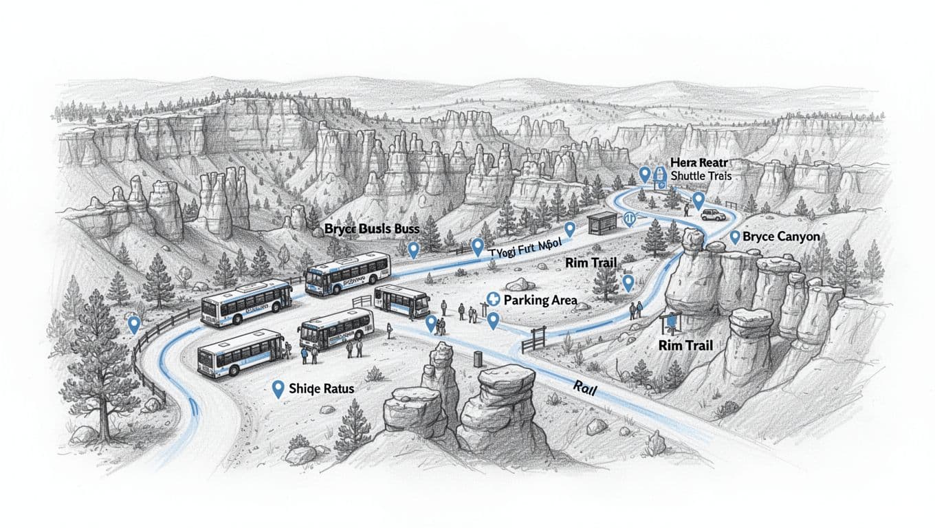
The park runs a free shuttle from Bryce Canyon City into the amphitheater, and the 2026 season runs from April 3 through October 18. Using it skips the hunt for parking at the busiest viewpoints, though you can still drive your own vehicle if you’d rather. The southern scenic drive is not on the main shuttle route, so plan to drive that stretch yourself or check on a separate Rainbow Point tour. Roads are usually open, but brief weather closures can follow spring storms, so confirm conditions on arrival.
One day at Bryce comes together like this: sunrise or early morning in the amphitheater, one trail before lunch, then southern viewpoints only if your legs, the weather, and road conditions still look good. That order keeps the best part of the park protected.
If Bryce is part of a bigger Utah trip, the 4-day Zion and Bryce road trip itinerary follows the same idea: hit the high-payoff core first, then widen the map later. The same logic carries over to the rest of the Mighty 5, including the Arches National Park map, the Canyonlands National Park map, and the Capitol Reef National Park map. First-timers building a southern Utah loop can also lean on this beginner Zion itinerary, since Zion sits about 90 minutes away.
Before you go
A few park basics make the day smoother:
- Plan for elevation. The rim sits between 8,000 and 9,100 feet, so it stays cooler than Zion and other low-desert parks. Trails start with a descent, which means every return is uphill, and altitude can sap energy faster than expected. Bring layers and water.
- Expect shoulder-season snow. Late spring through fall is the easiest window. Winter stays open and beautiful, but snow, ice, and traction devices come into play, and parts of the Navajo Loop close.
- The hoodoos are the whole point. They sit below the rim in the amphitheater, so even one short descent like Queen’s Garden gets you down among them.
- Use the free shuttle in season. It runs from Bryce Canyon City into the amphitheater roughly April through October and takes the parking stress out of the busiest viewpoints.
- The park is cashless. Entrance fees run $35 per private vehicle for seven days, and stations take credit or debit only, no cash, unless you’re using an annual or America the Beautiful pass.
- Bryce is a dark sky park. If you can stay into the evening, the night skies here are some of the darkest in the country.
FAQs
Which part of the Bryce Canyon map should I look at first?
Start with the Bryce Amphitheater, between Sunrise Point and Bryce Point. That zone packs in the best viewpoints, easy rim walking, and the most beginner-friendly trail access.
Is Queen’s Garden the best first hike at Bryce?
For most beginners, yes. At about 1.8 miles, it’s the least difficult trail that drops below the rim, the scenery starts fast, and the day stays manageable. Linking it with the Navajo Loop forms the park’s most popular hike if conditions allow.
Do I need the shuttle to visit Bryce Canyon?
No. The free shuttle runs from Bryce Canyon City roughly April through October and helps you skip parking hassles in the amphitheater, but driving your own vehicle is always an option. The southern scenic drive is not on the main shuttle route.
Can I do the amphitheater and southern viewpoints in one day?
Yes, but only with an early start and cooperative conditions. If time is tight, skip the long scenic drive and stay focused on the core amphitheater.
Bryce rewards focus more than ambition. The smartest Bryce Canyon map strategy is to circle the amphitheater first, choose one solid hike, and treat the rest as optional. For trails beyond Bryce, the best hikes in Utah rounds up picks across the state.