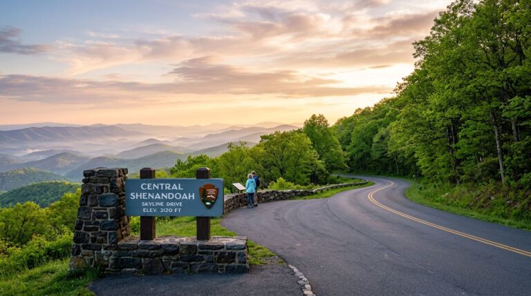
This Big Bend National Park map guide covers the three main zones you need for a first visit: Chisos Basin for cooler-air hikes, Ross Maxwell Scenic Drive for big views, and Santa Elena Canyon for the headline view. The park spans more than 800,000 acres of West Texas, and most famous viewpoints are an hour’s drive apart, so picking the right zone to start in saves the whole trip.
For a first visit, the simplest plan is Chisos Basin in the morning, Ross Maxwell Scenic Drive in the afternoon, and Santa Elena Canyon for the headline view. Skip the long Cathedral Valley or East River Road drives until a return trip.
Before you go
- Entrance fee: $30 per vehicle, valid 7 days
- Park size: about 801,000 acres, the 15th-largest national park in the US
- Best season: November through April. Summer is brutally hot (frequently above 100°F at lower elevations); avoid May through September unless prepared
- Chisos Mountains Lodge is the only in-park lodging. 72 rooms and 4 cottages. Book months ahead
- Three visitor centers: Panther Junction (main, year-round), Chisos Basin, and Persimmon Gap. Hours vary seasonally; check current status
- Cell service: extremely limited. Download maps and don’t count on a signal
- Drive times: El Paso ~5 hours, Midland ~3.5 hours, Austin ~7 hours
- International Dark Sky Park. Some of the darkest night skies in the lower 48
How to read the park map
Big Bend is shaped roughly like a triangle, with three main zones first-time visitors should know:
| Zone | What it offers | Best for |
|---|---|---|
| Chisos Basin | Cooler air at ~5,400 ft elevation; lodge, campground, trailheads | First hikes, lodging, sunrise/sunset |
| Ross Maxwell Scenic Drive | 30-mile scenic drive ending at Santa Elena Canyon | Big views with low effort |
| Rio Grande Village | Eastern side; hot springs, riverside campground, Boquillas border crossing | Birds, hot springs, riverside walks |
Panther Junction sits roughly in the center and is the main visitor center. It’s a useful stop on arrival for current trail and road conditions, especially since cell service drops fast once you’re in the park.
Chisos Basin: where most first-time visits start
Chisos Basin sits at 5,401 feet inside the only mountain range entirely contained in a US national park. It’s the cool spot in the park (literally; expect 15-20°F cooler than the desert floor on most days), and it’s home to:
- Chisos Mountains Lodge (only in-park lodging)
- Chisos Basin Campground
- Chisos Basin Visitor Center (seasonal hours)
- Several of the park’s best hiking trailheads
The standout hikes from Chisos Basin:
- Window Trail — 5.6 mi RT, moderate, descends to a “window” pour-off with sweeping desert views. The Window Trail deep dive covers the trail in detail
- Lost Mine Trail — 4.8 mi RT, moderate, ~1,100 ft gain to a ridge view of Juniper Canyon and Pine Canyon
- Emory Peak — 10.5 mi RT, ~2,400 ft gain, strenuous; the highest point in the park at 7,832 ft
- Window View Trail — 0.3 mi paved loop near the lodge; easy first look at the “window”
For a first-time visitor, the Window Trail and Lost Mine Trail are the two go-to picks. Both can be done in a morning if you start early.
Ross Maxwell Scenic Drive
The Ross Maxwell Scenic Drive runs about 30 miles from the Highway 118 turnoff (near Panther Junction) southwest to Santa Elena Canyon. It’s paved the whole way and suitable for any passenger car.
Key stops in driving order:
- Sotol Vista — sweeping overlook of the Castolon area
- Mule Ears Viewpoint — two parallel volcanic plugs in the distance
- Tuff Canyon — quick stop at a small canyon overlook
- Castolon Historic District — early 20th-century settlement, with a contact station and exhibits
- Santa Elena Canyon Trail — 1.7 mi RT, easy; walks into a 1,500-foot-deep limestone canyon along the Rio Grande
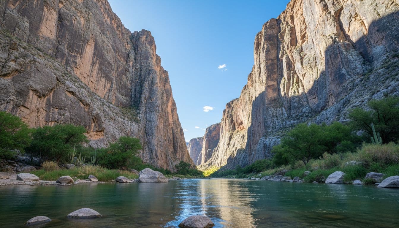
The Santa Elena Canyon Trail requires crossing Terlingua Creek at the trailhead. The creek bed alternates between dry sand, mud, and flowing water depending on recent rain. Check with a ranger at Panther Junction or Castolon if you’re unsure; people get stuck in the mud regularly.
For a longer Big Bend hiking plan that uses both Chisos and the scenic drive area, the Big Bend hiking itinerary walks through a two-day route.
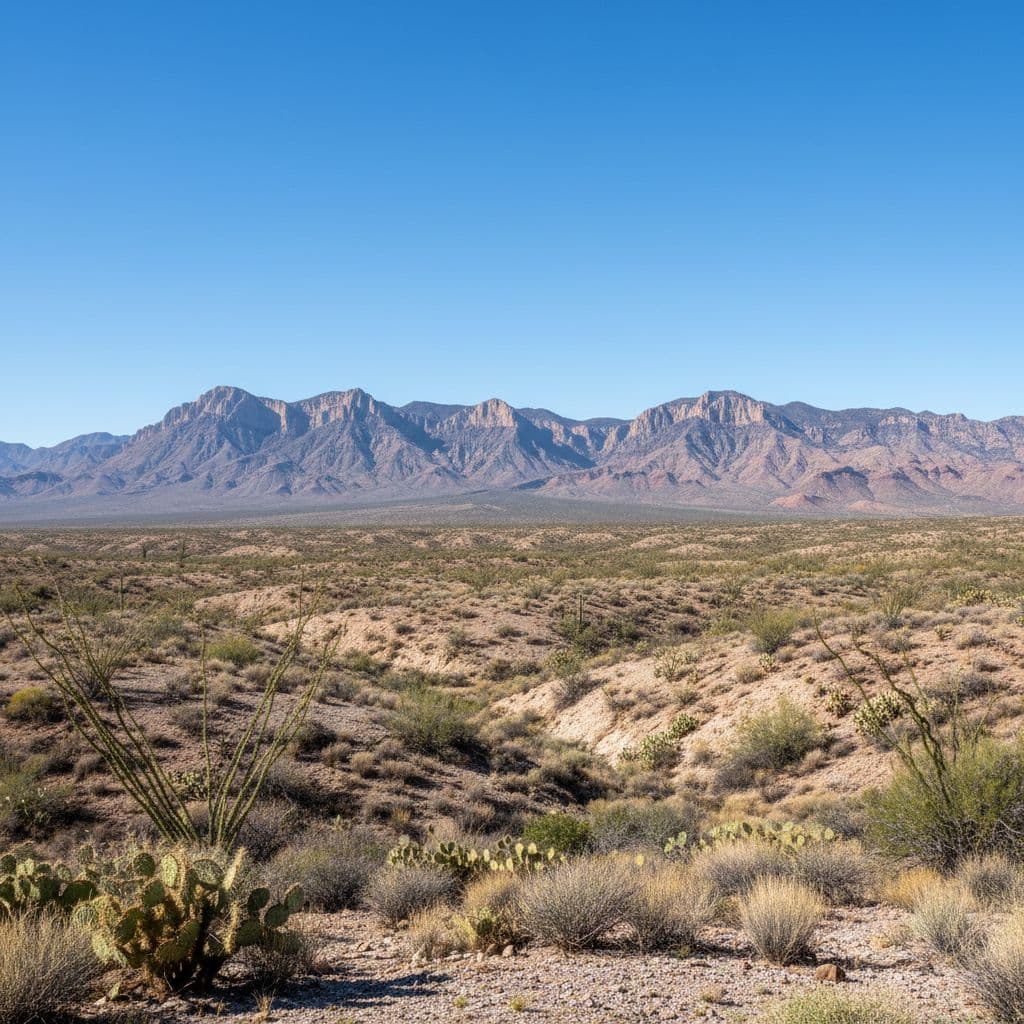
Rio Grande Village (east side)
Rio Grande Village sits at 1,850 feet on the eastern side of the park, about 20 miles from Panther Junction. It’s the hottest part of the park in summer and the warmest in winter. Highlights include:
- Hot Springs Historic District — early 20th-century resort ruins with a riverside hot spring still soakable
- Rio Grande Village Nature Trail — 0.75 mi loop, good for birds
- Boquillas Crossing — pedestrian border crossing to the small Mexican town of Boquillas del Carmen. Open Wed-Sun, requires passport. Currently operating but verify hours before going
- Boquillas Canyon Trail — 1.4 mi RT, easy; walks into a smaller canyon than Santa Elena
For a first visit, Rio Grande Village is a secondary stop. Most first-timers fit it in only if they have a full third day.
What to skip on a first visit
A few areas of Big Bend are popular in travel content but eat enormous amounts of driving time. Save them for return trips:
- Old Ore Road, River Road, Glenn Spring Road — backcountry dirt roads requiring high-clearance/4WD and a full day each
- The Marathon basin and Persimmon Gap entrance — only useful if approaching from the north
- Big Bend Ranch State Park — separate park west of the national park, worth a trip but not a substitute
Pairing with other Texas national parks
Texas has two national parks that pair naturally on a road trip. The Guadalupe Mountains itinerary covers the West Texas option, about 4-5 hours northwest of Big Bend. For another remote southwestern park, the Capitol Reef map covers Utah’s quietest Mighty 5 park.
Frequently asked questions
How much does Big Bend cost to enter?
$30 per vehicle for a 7-day pass. Motorcycles $25, per-person $15. America the Beautiful annual pass works.
When is the best time to visit Big Bend?
November through April. Days are pleasant (60s-80s°F), nights are cool (30s-50s°F), and trails are open. May through September runs hot to dangerous: daytime highs along the Rio Grande frequently exceed 100°F. If you visit in summer, plan everything for early morning and head to Chisos Basin for the cooler air.
Is one day enough for Big Bend?
Possible but tight. A one-day plan: arrive early, hike one Chisos Basin trail (Window or Lost Mine), drive Ross Maxwell, hike Santa Elena Canyon, leave at sunset. Two days is much better. Three days unlocks Rio Grande Village and a longer Emory Peak hike.
Where should I stay?
Inside the park, Chisos Mountains Lodge or one of the three campgrounds (Chisos Basin, Rio Grande Village, Cottonwood). Both lodge and campgrounds fill months ahead in peak season. Outside the park, Terlingua and Study Butte are the closest gateway towns with motels, hostels, and Airbnbs.
Do I need a 4WD vehicle?
Not for the standard first visit. The main park road, the Chisos Basin road, Ross Maxwell Scenic Drive, and the road to Rio Grande Village are all paved. Backcountry dirt roads (Old Ore Road, River Road, Glenn Spring) require high-clearance 4WD with good tires.
Can I cross into Mexico from the park?
Yes, at Boquillas Crossing near Rio Grande Village. A small rowboat ferry takes visitors across the Rio Grande to Boquillas del Carmen, Mexico. Bring a passport. The crossing is typically open Wednesday through Sunday during posted hours; confirm current status at the NPS site or at the Panther Junction visitor center before going.